
Bella Vista Senior Apartments
2701 Randolph St,
Huntington Park, CA 90255
Studio - 1 Bed $1,350 - $2,424
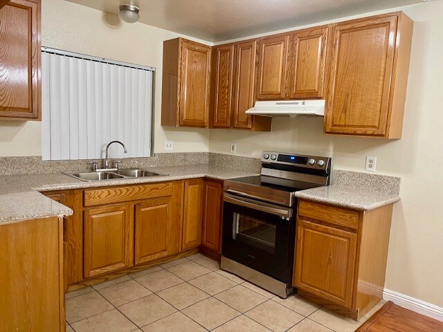

Welcome to State Apartments in Huntington Park. With only 10 apartments, you'll relish the privacy and peace that this community provides. One Parking Space Included Each apartment comes with the convenience of one dedicated parking space, ensuring that you always have a secure spot for your vehicle right at your doorstep.
7853 State St is an apartment community located in Los Angeles County and the 90255 ZIP Code. This area is served by the Los Angeles Unified attendance zone.
Nestled just five miles south of Downtown Los Angeles, Huntington Park is a vibrant suburb offering the serenity of a residential community paired with the excitement of city living. Huntington Park’s main commercial thoroughfare is Pacific Boulevard, which is bustling with an array of diverse eateries, shops, cafes, theaters, and so much more. Pacific Boulevard exudes an urban vibe, with rows of buildings brimming with historic character in a walkable environment.
Huntington Park affords residents access to year-round outdoor activities, containing more than 31 acres of total park space—including playgrounds, picnic areas, athletic facilities, a skate park, and more. The city’s residential streets tout a wide variety of homes along tranquil tree-lined avenues. Close proximity to the 710, 110, and 105 freeways makes getting around from Huntington Park, also known as “The City of Perfect Balance,” simple.
Learn more about living in Huntington Park| Colleges & Universities | Distance | ||
|---|---|---|---|
| Colleges & Universities | Distance | ||
| Drive: | 4 min | 2.2 mi | |
| Drive: | 15 min | 8.8 mi | |
| Drive: | 14 min | 8.8 mi | |
| Drive: | 16 min | 9.2 mi |


Transportation options available in Huntington Park include Florence Station, located 2.5 miles from 7853 State St. 7853 State St is near Long Beach (Daugherty Field), located 14.5 miles or 24 minutes away, and Los Angeles International, located 15.6 miles or 23 minutes away.
| Transit / Subway | Distance | ||
|---|---|---|---|
| Transit / Subway | Distance | ||
|
|
Drive: | 5 min | 2.5 mi |
|
|
Drive: | 5 min | 2.7 mi |
|
|
Drive: | 7 min | 3.1 mi |
|
|
Drive: | 6 min | 3.2 mi |
|
|
Drive: | 8 min | 3.8 mi |
| Commuter Rail | Distance | ||
|---|---|---|---|
| Commuter Rail | Distance | ||
|
|
Drive: | 12 min | 5.9 mi |
|
|
Drive: | 15 min | 7.4 mi |
|
|
Drive: | 17 min | 7.6 mi |
|
|
Drive: | 15 min | 7.8 mi |
| Drive: | 18 min | 11.7 mi |
| Airports | Distance | ||
|---|---|---|---|
| Airports | Distance | ||
|
Long Beach (Daugherty Field)
|
Drive: | 24 min | 14.5 mi |
|
Los Angeles International
|
Drive: | 23 min | 15.6 mi |
Time and distance from 7853 State St.
| Shopping Centers | Distance | ||
|---|---|---|---|
| Shopping Centers | Distance | ||
| Walk: | 6 min | 0.3 mi | |
| Walk: | 8 min | 0.5 mi | |
| Walk: | 10 min | 0.6 mi |
| Parks and Recreation | Distance | ||
|---|---|---|---|
| Parks and Recreation | Distance | ||
|
Watts Senior Center & Rose Garden
|
Drive: | 7 min | 3.5 mi |
|
Augustus Hawkins Natural Park
|
Drive: | 6 min | 3.6 mi |
|
Watts Towers-Rodia State Park
|
Drive: | 9 min | 4.2 mi |
|
Hollenbeck Lake
|
Drive: | 11 min | 5.7 mi |
|
Compton Creek Natural Park at George Washington Elementary
|
Drive: | 12 min | 6.6 mi |
| Hospitals | Distance | ||
|---|---|---|---|
| Hospitals | Distance | ||
| Drive: | 4 min | 2.4 mi | |
| Drive: | 6 min | 3.0 mi | |
| Drive: | 10 min | 5.6 mi |
| Military Bases | Distance | ||
|---|---|---|---|
| Military Bases | Distance | ||
| Drive: | 20 min | 14.0 mi |
What Are Walk Score®, Transit Score®, and Bike Score® Ratings?
Walk Score® measures the walkability of any address. Transit Score® measures access to public transit. Bike Score® measures the bikeability of any address.
What is a Sound Score Rating?
A Sound Score Rating aggregates noise caused by vehicle traffic, airplane traffic and local sources

7853 State St
Huntington Park, CA 90255


 - Violet on Virgil")


