78 High St

78 High St, Chester, NY 10918

Share Listing
Favorites
78 High St
Share Listing
Favorites

About 78 High St Chester, NY 10918

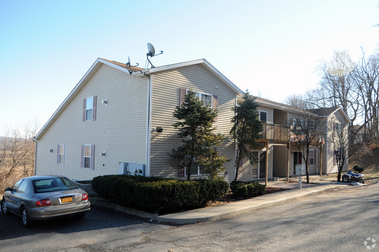
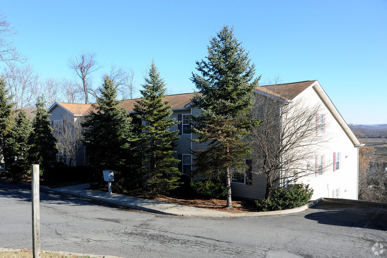
78 High St offers a combination of comfort, style and quality. These apartments are located in Chester on High St. in the 10918 area. The professional leasing staff is waiting to show you all that this community has in store. Make a visit to check out the current floorplan options. Drop by the leasing office to find out the current floorplan availability.

78 High St is an apartment community located in Orange County and the 10918 ZIP Code. This area is served by the Chester Union Free School District attendance zone.

Location
78 High St, Chester,
NY 10918
Get Directions
Education
Colleges & Universities Distance
Drive: 33 min 18.1 mi
Drive: 36 min 22.4 mi
Drive: 37 min 28.5 mi
Drive: 42 min 30.6 mi
78 High St is within 33 minutes or 18.1 miles from Mount Saint Mary College. It is also near USMA, West Point and SUNY Rockland.
Schools
Public Elementary School
Grades PK-5
393 Students
Attendance Zone
Public Elementary School
Grades K-5
522 Students
Nearby
Public Elementary School
Grades PK-5
718 Students
Nearby
Public Middle & High School
Grades 6-12
538 Students
Attendance Zone
Private Elementary School
Grades K-5
164 Students
Nearby
Private High School
Grades 9-12
373 Students
Nearby
Transportation

78 High St is near New York Stewart International, located 14.5 miles or 28 minutes away.

Commuter Rail Distance
Drive: 19 min 10.6 mi
Drive: 18 min 11.5 mi
Drive: 17 min 11.5 mi
Drive: 17 min 11.9 mi
Drive: 29 min 19.3 mi
Airports Distance
Airports Distance
New York Stewart International
Drive: 28 min 14.5 mi

Walkability Near 78 High St Chester, NY 10918

Getting Around
Somewhat Walkable
Walkability
20 / 100
Exceptionally Drivable
Drivability
100 / 100
Somewhat Bikeable
Bikeability
20 / 100

Scores provided by

What do Walkability, Transit, Drivability, and Bikeability mean? Walkability measures the walking distance to day-to-day needs. Transit measures access to public transportation. Drivability measures congestion, parking availability, and access to major roads. Bikeability measures the suitability for cycling. How It Works
-
Soundscore
- / 100

Traffic

-

Airport

-

Businesses

-

Scores provided by

HowLoud What is a Sound Score Rating? A Sound Score Rating aggregates noise caused by vehicle traffic, airplane traffic and local sources. How It Works
Points of Interest

Time and distance from 78 High St.

Shopping Centers Distance
Drive: 4 min 2.0 mi
Drive: 9 min 5.9 mi
Drive: 11 min 6.8 mi
78 High St has 3 shopping centers within 6.8 miles, which is about a 11-minute drive. The miles and minutes will be for the farthest away property.
Parks and Recreation Distance
Goosepond Mountain State Park
Drive: 16 min 7.3 mi
Highland Lakes State Park
Drive: 22 min 15.8 mi
Mt. Peter Ski Area
Drive: 25 min 16.2 mi
78 High St has 3 parks within 16.2 miles, including Goosepond Mountain State Park, Mt. Peter Ski Area, and Highland Lakes State Park.
Hospitals Distance
Hospitals Distance
Drive: 14 min 10.6 mi
Drive: 17 min 11.5 mi
78 High St is 10.6 miles from Orange Regional Medical Center, and is convenient to other hospitals, including St. Anthony Community Hospital.
Military Bases Distance
Drive: 31 min 19.3 mi
Drive: 30 min 22.0 mi
78 High St is 19.3 miles from West Point Military Reserve, and is convenient to other military bases, including Camp Smith NY State Military.

Explore Similar Rentals Nearby