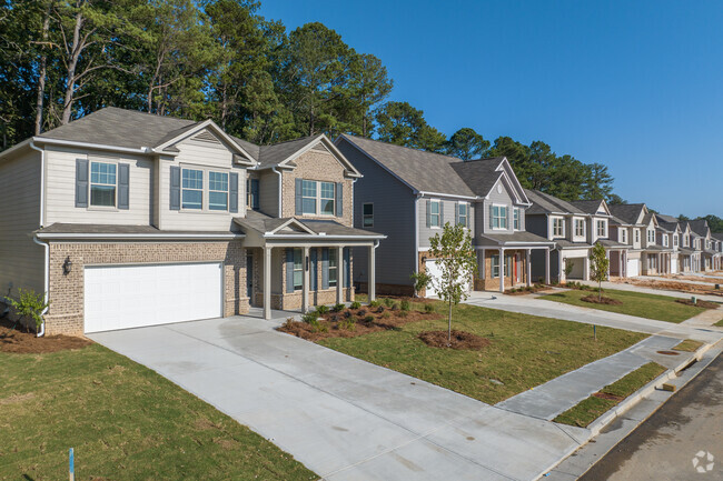
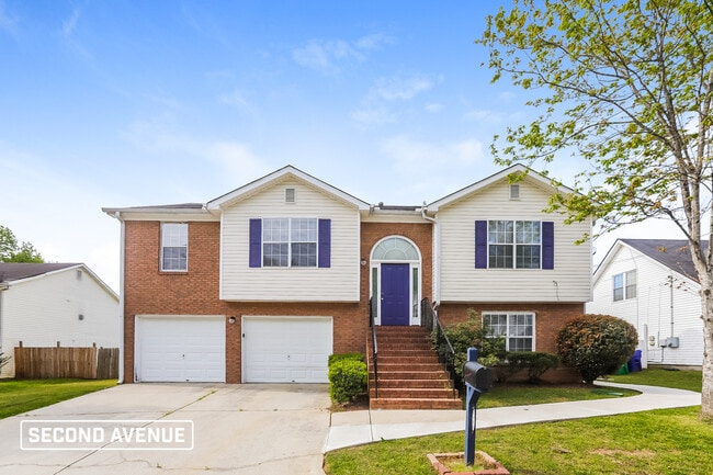
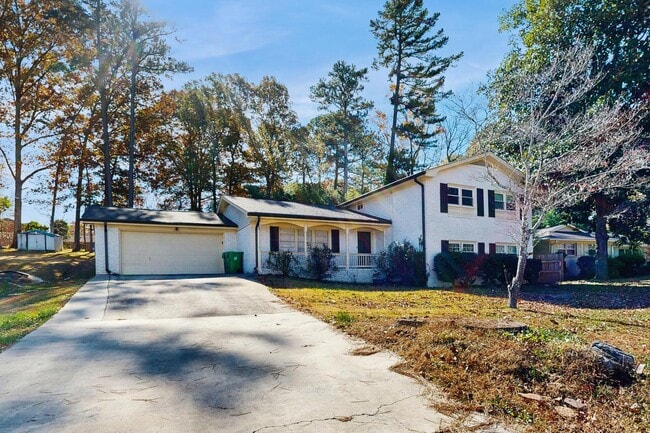
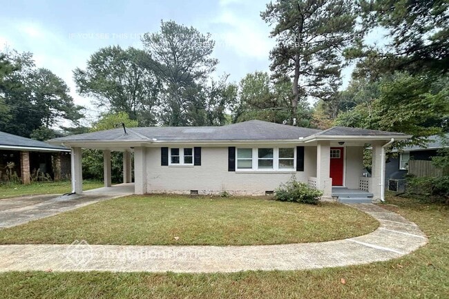
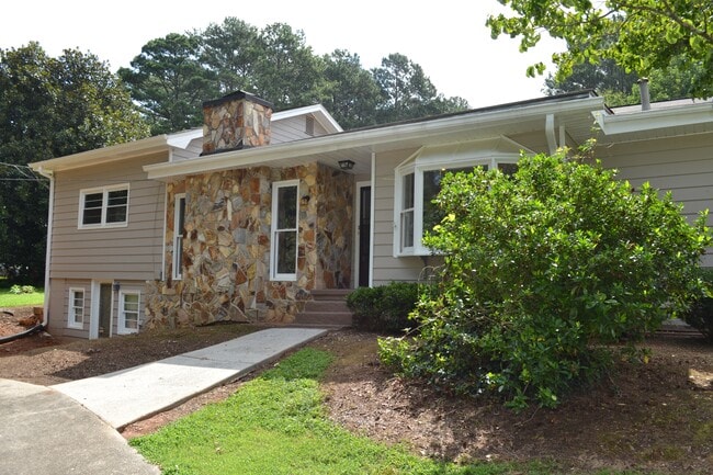
767 Stonebridge Park Cir
767 Stonebridge Park Cir
Lithonia, GA 30058

Check Back Soon for Upcoming Availability
| Beds | Baths | Average SF |
|---|---|---|
| 3 Bedrooms 3 Bedrooms 3 Br | 2.5 Baths 2.5 Baths 2.5 Ba | — |
Hills of granite create a fascinating landscape. Carved into this rugged terrain is the "City of Stone." For a city perched on a bed of rock, Lithonia is surprisingly green. Pine and oak trees line the streets, while a historic downtown offers terrific shops and boutiques. But granite put Lithonia on the map -- this city is located just south of one of Georgia's most-recognizable landmarks, Stone Mountain.
Home to roughly 2,000 residents, Lithonia is a small city located about 18 miles east of Atlanta. I-20 leads residents into the city. Panola Mountain State Park and the Davidson-Arabia Mountain Nature Preserve are to the south of Lithonia, providing terrific outdoor adventures.
Learn more about living in Lithonia| Colleges & Universities | Distance | ||
|---|---|---|---|
| Colleges & Universities | Distance | ||
| Drive: | 21 min | 10.5 mi | |
| Drive: | 25 min | 13.9 mi | |
| Drive: | 28 min | 17.5 mi | |
| Drive: | 33 min | 18.3 mi |
Transportation options available in Lithonia include Kensington, located 11.0 miles from 767 Stonebridge Park Cir. 767 Stonebridge Park Cir is near Hartsfield - Jackson Atlanta International, located 27.5 miles or 42 minutes away.
| Transit / Subway | Distance | ||
|---|---|---|---|
| Transit / Subway | Distance | ||
|
|
Drive: | 20 min | 11.0 mi |
|
|
Drive: | 22 min | 11.6 mi |
| Commuter Rail | Distance | ||
|---|---|---|---|
| Commuter Rail | Distance | ||
|
|
Drive: | 38 min | 23.6 mi |
| Airports | Distance | ||
|---|---|---|---|
| Airports | Distance | ||
|
Hartsfield - Jackson Atlanta International
|
Drive: | 42 min | 27.5 mi |
Time and distance from 767 Stonebridge Park Cir.
| Shopping Centers | Distance | ||
|---|---|---|---|
| Shopping Centers | Distance | ||
| Walk: | 10 min | 0.6 mi | |
| Drive: | 3 min | 1.6 mi | |
| Drive: | 3 min | 1.7 mi |
| Parks and Recreation | Distance | ||
|---|---|---|---|
| Parks and Recreation | Distance | ||
|
Yellow River Park
|
Drive: | 8 min | 2.4 mi |
|
DeShong Park
|
Drive: | 6 min | 3.1 mi |
|
Lenora Park
|
Drive: | 10 min | 5.4 mi |
|
Yellow River Game Ranch
|
Drive: | 14 min | 6.9 mi |
|
Stone Mountain State Memorial Park
|
Drive: | 20 min | 8.8 mi |
| Hospitals | Distance | ||
|---|---|---|---|
| Hospitals | Distance | ||
| Drive: | 15 min | 8.1 mi | |
| Drive: | 18 min | 10.0 mi | |
| Drive: | 19 min | 10.9 mi |
| Military Bases | Distance | ||
|---|---|---|---|
| Military Bases | Distance | ||
| Drive: | 39 min | 25.2 mi | |
| Drive: | 41 min | 28.2 mi |
You May Also Like
Similar Rentals Nearby
What Are Walk Score®, Transit Score®, and Bike Score® Ratings?
Walk Score® measures the walkability of any address. Transit Score® measures access to public transit. Bike Score® measures the bikeability of any address.
What is a Sound Score Rating?
A Sound Score Rating aggregates noise caused by vehicle traffic, airplane traffic and local sources


