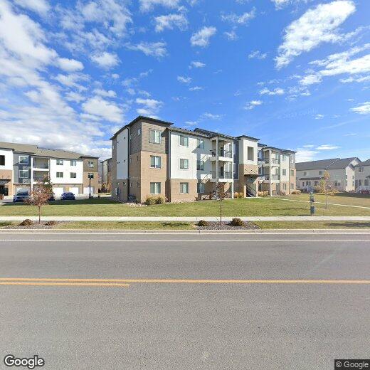

761 N 260 W
761 N 260 W
Vineyard, UT 84059
Favorites
761 N 260 W

Favorites
Check Back Soon for Upcoming Availability
761 N 260 W,
Vineyard,
UT
84059
The small city of Vineyard is indisputably the fastest-developing community in the state, having grown from just over a hundred people to nearly 10,000 in the past ten years. Sitting just west of Orem on the shore of Utah Lake, much of Vineyard was filled up by farms and industrial facilities until recently, and the shift to residential zoning has seen a massive boom is construction of homes, condos, and apartment communities.
The terrific location puts you just an hour’s drive south of Salt Lake City (with east access to Interstate 15) and just minutes from the region’s stunning mountains, allowing you to easily go off the grid for skiing, hiking, or mountain biking on the weekends.
Learn more about living in Vineyard
Education
| Colleges & Universities | Distance | ||
|---|---|---|---|
| Colleges & Universities | Distance | ||
| Drive: | 10 min | 4.3 mi | |
| Drive: | 16 min | 9.4 mi | |
| Drive: | 16 min | 11.4 mi | |
| Drive: | 18 min | 13.6 mi |
761 N 260 W is within 10 minutes or 4.3 miles from Utah Valley University. It is also near Brigham Young University and Rocky Mountain University.
Walkability Near 761 N 260 W Vineyard, UT 84059
Getting Around
 What do Walkability, Transit, Drivability, and Bikeability mean?
Walkability measures the walking distance to day-to-day needs.
Transit measures access to public transportation.
Drivability measures congestion, parking availability, and access to major roads.
Bikeability measures the suitability for cycling.
How It Works
What do Walkability, Transit, Drivability, and Bikeability mean?
Walkability measures the walking distance to day-to-day needs.
Transit measures access to public transportation.
Drivability measures congestion, parking availability, and access to major roads.
Bikeability measures the suitability for cycling.
How It Works
Not Walkable
Walkability
10
/ 100
Minimal Public Transit
Transit
0
/ 100
Exceptionally Drivable
Drivability
100
/ 100
Moderately Bikeable
Bikeability
70
/ 100
Scores provided by
-
Soundscore™
-
/ 100
Traffic
-Airport
-Businesses
-Scores provided by
HowLoud What is a Sound Score Rating? A Sound Score Rating aggregates noise caused by vehicle traffic, airplane traffic and local sources. How It WorksYou May Also Like
Similar Rentals Nearby


What Are Walk Score®, Transit Score®, and Bike Score® Ratings?
Walk Score® measures the walkability of any address. Transit Score® measures access to public transit. Bike Score® measures the bikeability of any address.
What is a Sound Score Rating?
A Sound Score Rating aggregates noise caused by vehicle traffic, airplane traffic and local sources.