


$1,895
Total Monthly Price
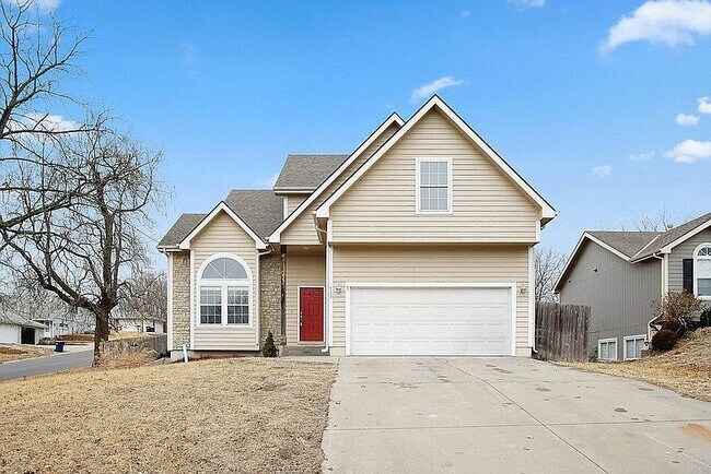
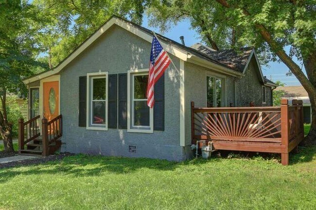
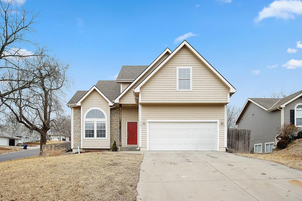
733 Fir St
Eudora, KS 66025
2 Weeks Ago
|
Edit
Favorites
733 Fir St

Favorites
Check Back Soon for Upcoming Availability
| Beds | Baths | Average SF |
|---|---|---|
| 3 Bedrooms 3 Bedrooms 3 Br | 2.5 Baths 2.5 Baths 2.5 Ba | 1,980 SF |
Fees and Policies
The fees listed below are community-provided and may exclude utilities or add-ons. All payments are made directly to the property and are non-refundable unless otherwise specified.
- Parking
-
Garage--
Details
Property Information
-
Built in 2001
About This Property
Gorgeous home in Eudora. 3 bedroom with non conforming 4th in the basement. Nice home with 2 car garage, and fenced back yard with large deck. New carpet and paint!
733 Fir St is a house located in Douglas County and the 66025 ZIP Code.
House Features
Air Conditioning
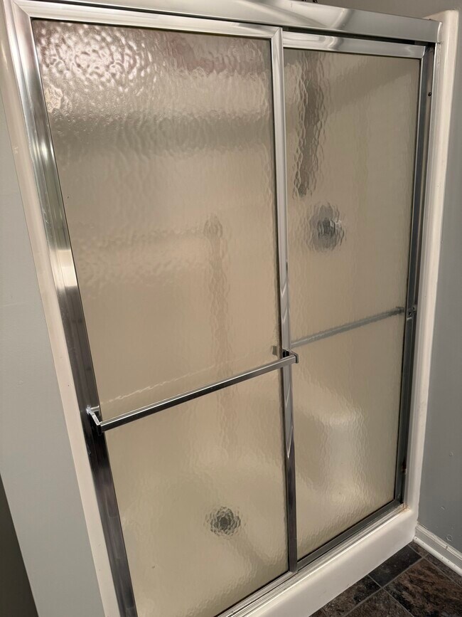
Tub/Shower
Ceiling Fans
Heating
- Air Conditioning
- Heating
- Ceiling Fans
- Double Vanities
- Tub/Shower
- Carpet
- Basement
- Deck
- Yard
733 Fir St,
Eudora,
KS
66025
Amenities
- Air Conditioning
- Heating
- Ceiling Fans
- Double Vanities
- Tub/Shower
- Carpet
- Basement
- Deck
- Yard
Education
| Colleges & Universities | Distance | ||
|---|---|---|---|
| Colleges & Universities | Distance | ||
| Drive: | 15 min | 8.1 mi | |
| Drive: | 18 min | 9.9 mi | |
| Drive: | 32 min | 22.2 mi | |
| Drive: | 32 min | 24.0 mi |
733 Fir St is within 15 minutes or 8.1 miles from Haskell Indian Nations Univ.. It is also near The University of Kansas and Baker University.
Walkability Near 733 Fir St Eudora, KS 66025
Getting Around
 What do Walkability, Transit, Drivability, and Bikeability mean?
Walkability measures the walking distance to day-to-day needs.
Transit measures access to public transportation.
Drivability measures congestion, parking availability, and access to major roads.
Bikeability measures the suitability for cycling.
How It Works
What do Walkability, Transit, Drivability, and Bikeability mean?
Walkability measures the walking distance to day-to-day needs.
Transit measures access to public transportation.
Drivability measures congestion, parking availability, and access to major roads.
Bikeability measures the suitability for cycling.
How It Works
Somewhat Walkable
Walkability
20
/ 100
Exceptionally Drivable
Drivability
100
/ 100
Somewhat Bikeable
Bikeability
30
/ 100
Scores provided by
-
Soundscore™
-
/ 100
Traffic
-Airport
-Businesses
-Scores provided by
HowLoud What is a Sound Score Rating? A Sound Score Rating aggregates noise caused by vehicle traffic, airplane traffic and local sources. How It WorksYou May Also Like
Similar Rentals Nearby


What Are Walk Score®, Transit Score®, and Bike Score® Ratings?
Walk Score® measures the walkability of any address. Transit Score® measures access to public transit. Bike Score® measures the bikeability of any address.
What is a Sound Score Rating?
A Sound Score Rating aggregates noise caused by vehicle traffic, airplane traffic and local sources.
733 Fir St
Eudora, KS 66025