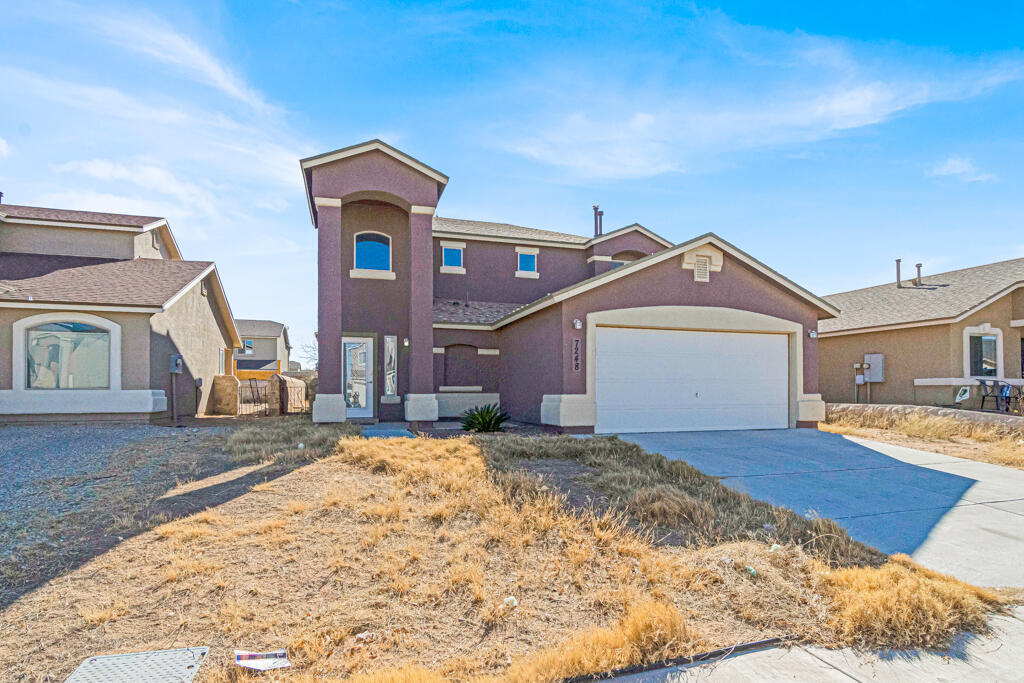
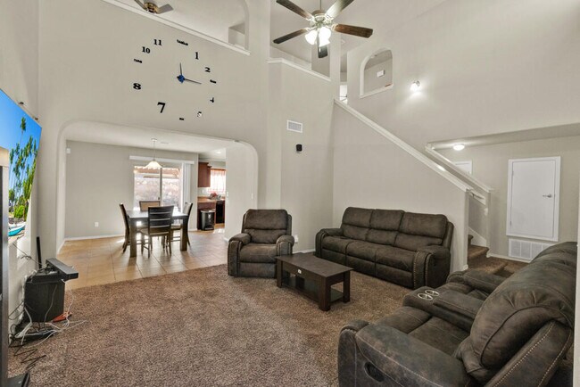


3 Beds, 1 Bath, 1,025 sq ft
$2,000
Total Monthly Price
1 Month Lease
Total Monthly Price
New
Prices include all required monthly fees.
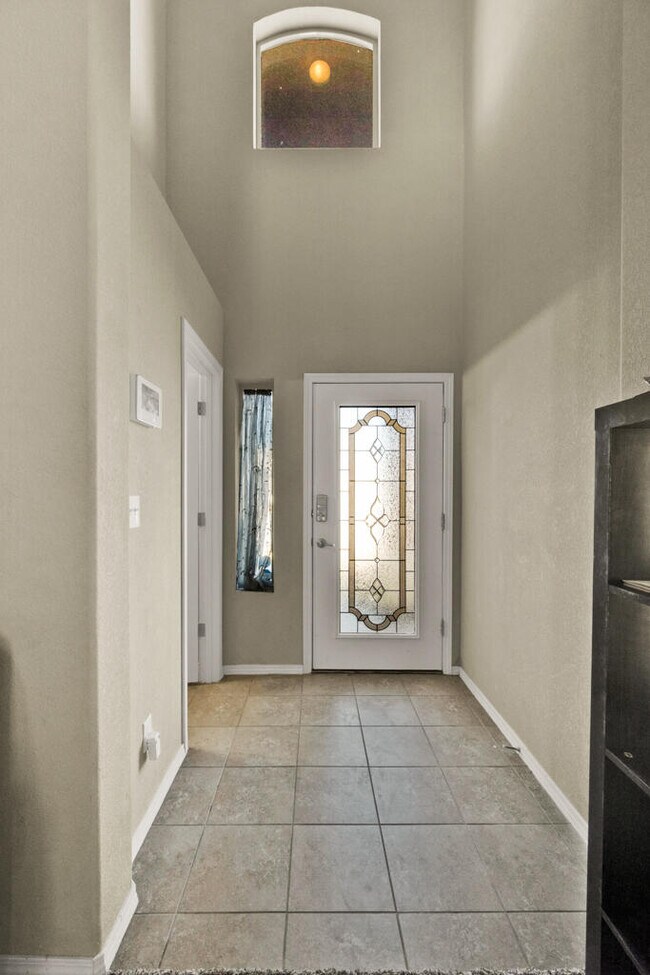
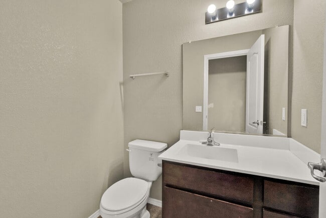
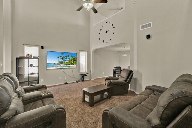
3831 Monroe Ave Unit 3831 Monroe Ave 1


