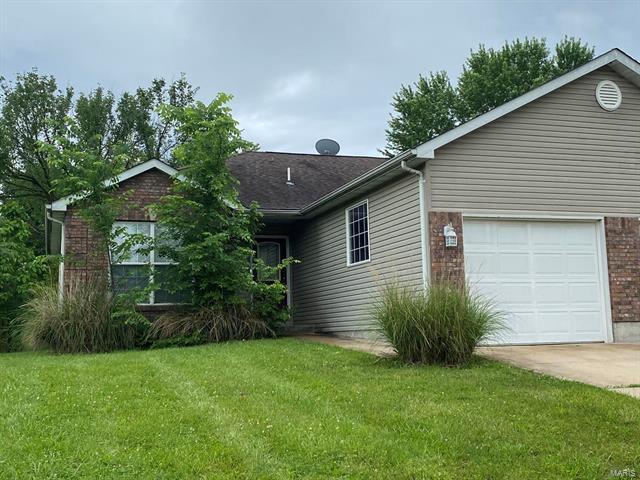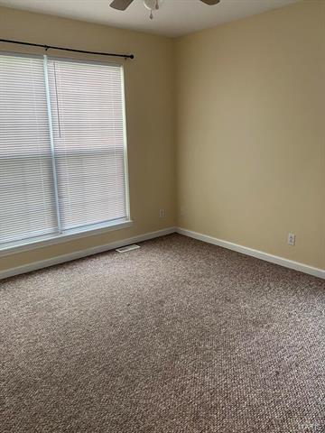
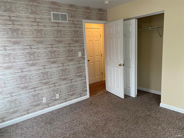
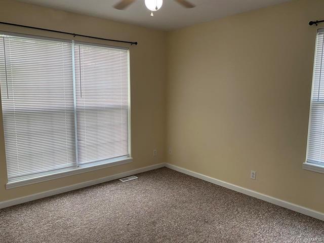


2 Beds
$1,095
Total Monthly Price
12 Month Lease
Total Monthly Price
New
Prices include all required monthly fees.
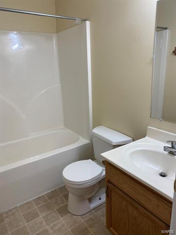
726 E 5th St Unit Main Level