$2,300
Total Monthly Price
70 S Central St Unit 70
Haverhill, MA 01835
Favorites
70 S Central St Unit 70

Favorites
Check Back Soon for Upcoming Availability
| Beds | Baths | Average SF |
|---|---|---|
| 4 Bedrooms 4 Bedrooms 4 Br | 2 Baths 2 Baths 2 Ba | 1,600 SF |
Fees and Policies
The fees listed below are community-provided and may exclude utilities or add-ons. All payments are made directly to the property and are non-refundable unless otherwise specified.
Details
Utilities Included
-
Water
About This Property
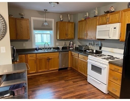
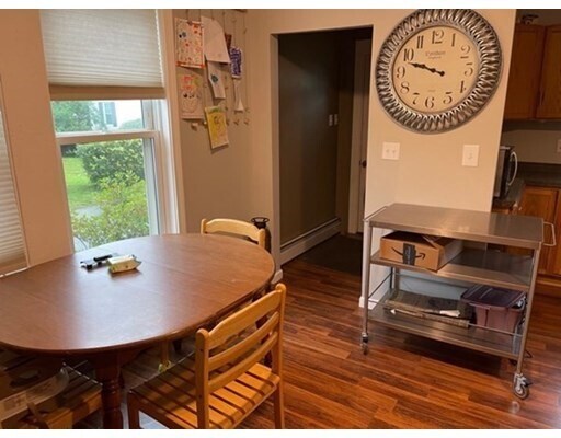
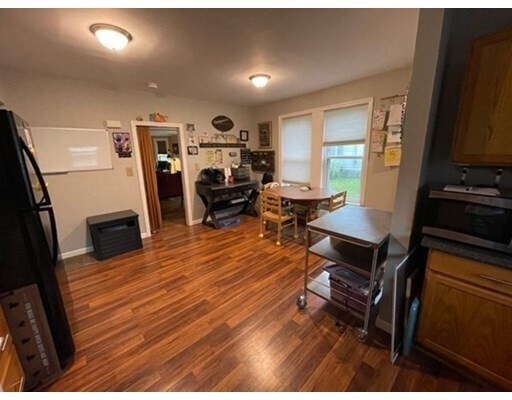
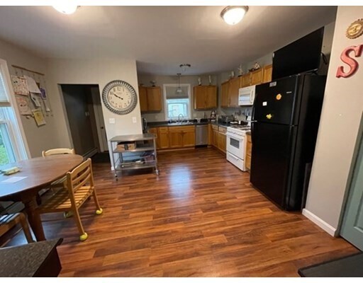
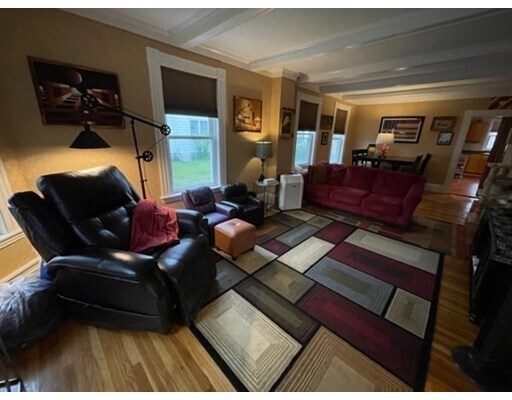
Spacious 4 bedroom 2 bath duplex located in Bradford. Conveniently located. Easy highway access, and minutes from the Bradford commuter rail station. In close proximity to shopping and restaurants. Minutes to NH border. Fully applianced kitchen. Wood floors throughout. Gas heat. Off street parking. Washer/dryer hook-ups in basement. No pets. No smoking. Landlord pays for water. Tenant is responsible for heat, hot water, electricity, cable, and phone. $25 fee per application, and each adult must fill out an application. Good credit, references, and proof of income are required.
70 S Central St is an apartment community located in Essex County and the 01835 ZIP Code.
Features
Dishwasher
Refrigerator
Freezer
Range
- Dishwasher
- Range
- Refrigerator
- Freezer
- Walking/Biking Trails
- Porch
- Deck
70 S Central St,
Haverhill,
MA
01835
Located along the Merrimack River, Haverhill combines historic architecture with contemporary city living. The rental market offers options ranging from $1,959 for studios to $2,528 for two-bedroom apartments. Downtown's transformation has converted former industrial buildings into residential spaces, with significant investment in the historic factory district. Established neighborhoods include the Highlands district, showcasing Victorian architecture, and Bradford, which offers riverside living opportunities.
Residents enjoy Winnekenni Park Conservation Area, home to Winnekenni Castle and Lake Saltonstall, with trails for hiking and outdoor activities. Northern Essex Community College and Northpoint Bible College anchor the city's educational community. Washington Street serves as the downtown dining district, while the Merrimack River boardwalk provides waterfront recreation.
Learn more about living in HaverhillBelow are rent ranges for similar nearby apartments
Amenities
- Dishwasher
- Range
- Refrigerator
- Freezer
- Porch
- Deck
- Walking/Biking Trails
Expenses
Utilities Included
Water
Included
Education
| Colleges & Universities | Distance | ||
|---|---|---|---|
| Colleges & Universities | Distance | ||
| Drive: | 9 min | 3.6 mi | |
| Drive: | 18 min | 8.8 mi | |
| Drive: | 29 min | 16.8 mi | |
| Drive: | 30 min | 20.3 mi |
70 S Central St Unit 70 is within 9 minutes or 3.6 miles from Northern Essex Comm. Coll.. It is also near Merrimack College and North Shore C.C., Danvers.
Walkability Near 70 S Central St Haverhill, MA 01835
Getting Around
 What do Walkability, Transit, Drivability, and Bikeability mean?
Walkability measures the walking distance to day-to-day needs.
Transit measures access to public transportation.
Drivability measures congestion, parking availability, and access to major roads.
Bikeability measures the suitability for cycling.
How It Works
What do Walkability, Transit, Drivability, and Bikeability mean?
Walkability measures the walking distance to day-to-day needs.
Transit measures access to public transportation.
Drivability measures congestion, parking availability, and access to major roads.
Bikeability measures the suitability for cycling.
How It Works
Fairly Walkable
Walkability
50
/ 100
Limited Public Transit
Transit
20
/ 100
Very Drivable
Drivability
80
/ 100
Fairly Bikeable
Bikeability
50
/ 100
Scores provided by
-
Soundscore™
-
/ 100
Traffic
-Airport
-Businesses
-Scores provided by
HowLoud What is a Sound Score Rating? A Sound Score Rating aggregates noise caused by vehicle traffic, airplane traffic and local sources. How It WorksYou May Also Like
Similar Rentals Nearby
-
-

-

-
 4 Beds$3,000Total Monthly Price12 Month LeaseTotal Monthly Price NewPrices include base rent and required monthly fees. Variable costs based on usage may apply.
 -

-

-

-

-

-
 4 Beds$11,651Total Monthly PriceTotal Monthly Price NewPrices include required monthly fees of $554.Base Rent:4 Beds$11,096Apartment for Rent

What Are Walk Score®, Transit Score®, and Bike Score® Ratings?
Walk Score® measures the walkability of any address. Transit Score® measures access to public transit. Bike Score® measures the bikeability of any address.
What is a Sound Score Rating?
A Sound Score Rating aggregates noise caused by vehicle traffic, airplane traffic and local sources.

70 S Central St
Haverhill, MA 01835