
The Equestrian At Pelham Parkway
1680 Pelham Pkwy S,
Bronx, NY 10461
$1,850 - $2,900
Studio - 2 Beds
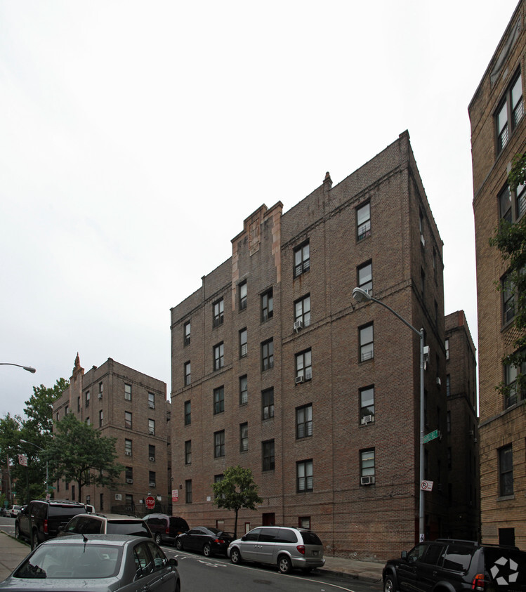
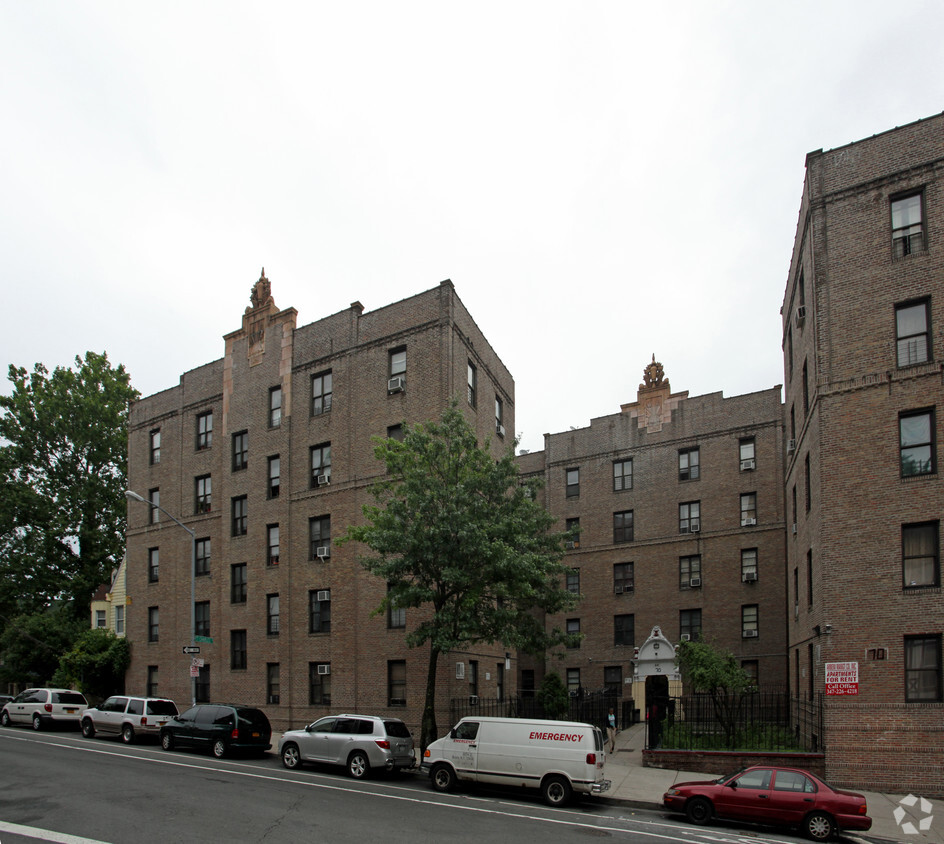

Discover a new place to live at 70 Marble Hill Ave in Bronx. The 70 Marble Hill Ave location in Bronx's 10463 area is an ideal place to live. The community staff is ready and waiting to help you find your perfect place. This community offers you a variety of comforts like hardwood floors, high-speed internet access, and intercoms. Drop by to talk about your next apartment.
70 Marble Hill Ave is an apartment community located in New York County and the 10463 ZIP Code. This area is served by the New York City Geographic District #10 attendance zone.
High Speed Internet Access
Hardwood Floors
Refrigerator
Smoke Free
Situated just east of Spuyten Duyvil, Marble Hill is a hidden gem. The neighborhood offers a blend of urban and suburban amenities, boasting a compact, walkable layout as well as charming homes with lawns and porches. Marble Hill also touts an array of Art Deco apartment buildings on tree-lined streets.
Although the neighborhood is largely residential, Marble Hill features a bevy of commercial offerings along Broadway and 225th Street that range from locally owned businesses to national retailers. The popular River Plaza is located in the southeastern-most portion of the neighborhood, offering residents quick access to a variety of suburban staples. Commuting from Marble Hill is simple with convenience to the Hudson Line and the 1 Train.
Learn more about living in Marble HillCompare neighborhood and city base rent averages by bedroom.
| Marble Hill | Bronx, NY | |
|---|---|---|
| Studio | $1,402 | $1,616 |
| 1 Bedroom | $1,838 | $1,636 |
| 2 Bedrooms | $2,060 | $2,096 |
| 3 Bedrooms | $1,401 | $2,357 |
| Colleges & Universities | Distance | ||
|---|---|---|---|
| Colleges & Universities | Distance | ||
| Drive: | 3 min | 1.5 mi | |
| Drive: | 4 min | 1.6 mi | |
| Drive: | 4 min | 1.8 mi | |
| Drive: | 5 min | 1.9 mi |


Transportation options available in Bronx include Marble Hill-225 Street, located 0.3 mile from 70 Marble Hill Ave. 70 Marble Hill Ave is near LaGuardia, located 11.6 miles or 21 minutes away, and Westchester County, located 22.5 miles or 34 minutes away.
| Transit / Subway | Distance | ||
|---|---|---|---|
| Transit / Subway | Distance | ||
|
|
Walk: | 5 min | 0.3 mi |
|
|
Walk: | 7 min | 0.4 mi |
|
|
Walk: | 12 min | 0.6 mi |
|
|
Walk: | 15 min | 0.8 mi |
|
|
Drive: | 2 min | 1.2 mi |
| Commuter Rail | Distance | ||
|---|---|---|---|
| Commuter Rail | Distance | ||
|
|
Walk: | 3 min | 0.2 mi |
|
|
Drive: | 4 min | 1.3 mi |
|
|
Drive: | 4 min | 1.6 mi |
|
|
Drive: | 4 min | 1.9 mi |
|
|
Drive: | 6 min | 2.5 mi |
| Airports | Distance | ||
|---|---|---|---|
| Airports | Distance | ||
|
LaGuardia
|
Drive: | 21 min | 11.6 mi |
|
Westchester County
|
Drive: | 34 min | 22.5 mi |
Scores provided by
Traffic
-Airport
-Businesses
-Scores provided by
HowLoud What is a Sound Score Rating? A Sound Score Rating aggregates noise caused by vehicle traffic, airplane traffic and local sources. How It WorksTime and distance from 70 Marble Hill Ave.
| Shopping Centers | Distance | ||
|---|---|---|---|
| Shopping Centers | Distance | ||
| Walk: | 5 min | 0.3 mi | |
| Walk: | 8 min | 0.4 mi | |
| Walk: | 17 min | 0.9 mi |
| Parks and Recreation | Distance | ||
|---|---|---|---|
| Parks and Recreation | Distance | ||
|
Dyckman House Park
|
Drive: | 3 min | 1.2 mi |
|
Henry Hudson Park
|
Drive: | 3 min | 1.2 mi |
|
St. James Park
|
Drive: | 3 min | 1.3 mi |
|
Poe Park
|
Drive: | 3 min | 1.4 mi |
|
Inwood Hill Park
|
Drive: | 5 min | 2.1 mi |
| Hospitals | Distance | ||
|---|---|---|---|
| Hospitals | Distance | ||
| Drive: | 6 min | 2.6 mi | |
| Drive: | 5 min | 2.6 mi | |
| Drive: | 8 min | 3.4 mi |
| Military Bases | Distance | ||
|---|---|---|---|
| Military Bases | Distance | ||
| Drive: | 24 min | 12.8 mi | |
| Drive: | 32 min | 15.0 mi | |
| Drive: | 37 min | 23.4 mi |
What Are Walk Score®, Transit Score®, and Bike Score® Ratings?
Walk Score® measures the walkability of any address. Transit Score® measures access to public transit. Bike Score® measures the bikeability of any address.
What is a Sound Score Rating?
A Sound Score Rating aggregates noise caused by vehicle traffic, airplane traffic and local sources.

70 Marble Hill Ave
Bronx, NY 10463


