

$650
/ Month
70 Boyhill Ln
Garland, NC 28441
2 Weeks Ago
|
Edit
Favorites
70 Boyhill Ln

Favorites
Check Back Soon for Upcoming Availability
| Beds | Baths | Average SF |
|---|---|---|
| 2 Bedrooms 2 Bedrooms 2 Br | 1 Bath 1 Bath 1 Ba | 616 SF |
About This Property
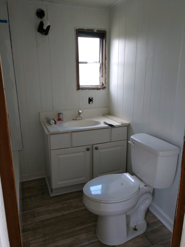
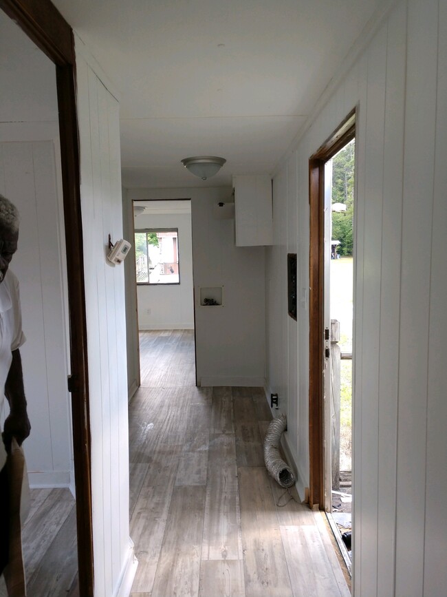
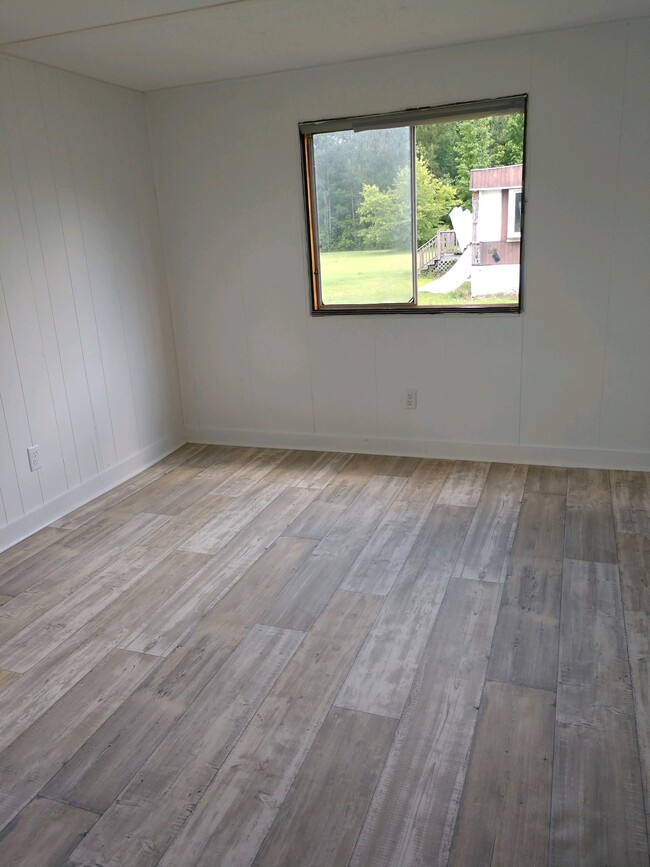
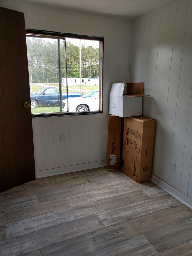
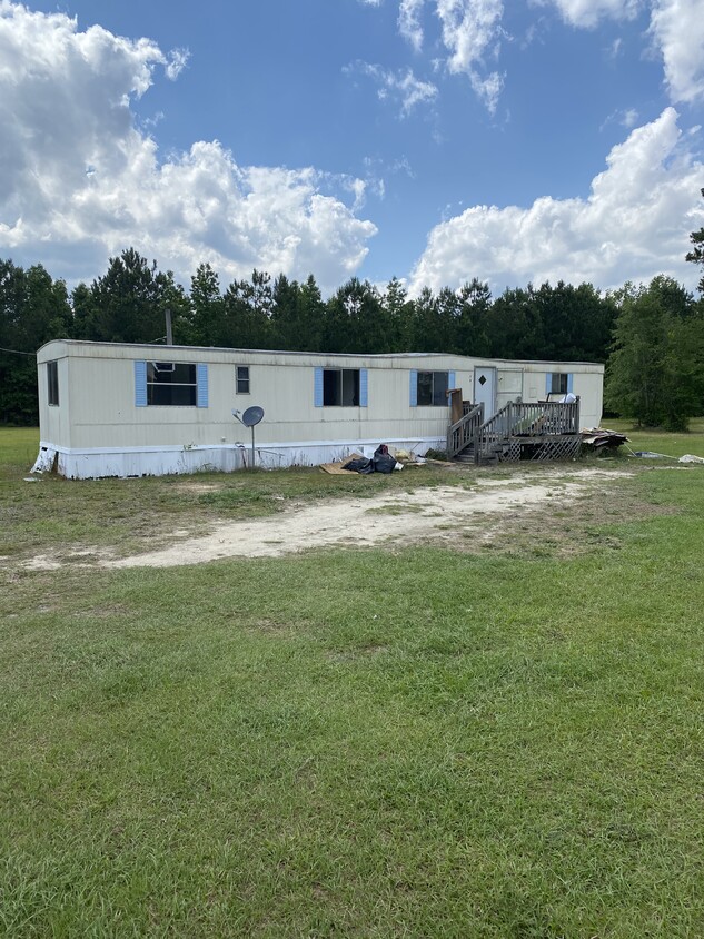
Welcome to Premier Mobile Home Community. Here we have a beautifully renovated 2 bed/1 bath single wide mobile home. Located In this quiet setting in Garland, NC, 1 mile from grocery, gas, and restaurants.
70 Boyhill Ln is a house located in Sampson County and the 28441 ZIP Code. This area is served by the Sampson County School District attendance zone.
House Features
- Microwave
- Refrigerator
- Hardwood Floors
70 Boyhill Ln,
Garland,
NC
28441
Amenities
- Microwave
- Refrigerator
- Hardwood Floors
Education
| Colleges & Universities | Distance | ||
|---|---|---|---|
| Colleges & Universities | Distance | ||
| Drive: | 60 min | 38.3 mi | |
| Drive: | 60 min | 40.0 mi |
70 Boyhill Ln is within 60 minutes or 38.3 miles from Fayetteville State University. It is also near Mount Olive College.
Schools


Public Elementary School
Grades PK-5
474 Students
Attendance Zone
Public Elementary School
Grades K-5
387 Students
Attendance Zone
Public Middle School
Grades 6-8
427 Students
Attendance Zone
Public High School
Grades 9-12
461 Students
Attendance Zone
Private Elementary, Middle & High School
Grades PK-12
60 Students
Nearby
Private Elementary, Middle & High School
Grades K-12
398 Students
Nearby
Private Elementary & Middle School
Grades K-8
66 Students
Nearby
School data provided by
 The GreatSchools Rating helps parents compare schools within a state based on a variety of school quality indicators and provides a helpful picture of how effectively each school serves all of its students. Ratings are on a scale of 1 (below average) to 10 (above average) and can include test scores, college readiness, academic progress, advanced courses, equity, discipline and attendance data. We also advise parents to visit schools, consider other information on school performance and programs, and consider family needs as part of the school selection process.
View GreatSchools Rating Methodology
Data provided by GreatSchools.org © 2026. All rights reserved.
View GreatSchools Rating Methodology
Data provided by GreatSchools.org © 2026. All rights reserved.
Walkability Near 70 Boyhill Ln Garland, NC 28441
Getting Around
 What do Walkability, Transit, Drivability, and Bikeability mean?
Walkability measures the walking distance to day-to-day needs.
Transit measures access to public transportation.
Drivability measures congestion, parking availability, and access to major roads.
Bikeability measures the suitability for cycling.
How It Works
What do Walkability, Transit, Drivability, and Bikeability mean?
Walkability measures the walking distance to day-to-day needs.
Transit measures access to public transportation.
Drivability measures congestion, parking availability, and access to major roads.
Bikeability measures the suitability for cycling.
How It Works
Not Walkable
Walkability
10
/ 100
Exceptionally Drivable
Drivability
100
/ 100
Somewhat Bikeable
Bikeability
20
/ 100
Scores provided by
-
Soundscore™
-
/ 100
Traffic
-Airport
-Businesses
-Scores provided by
HowLoud What is a Sound Score Rating? A Sound Score Rating aggregates noise caused by vehicle traffic, airplane traffic and local sources. How It WorksSimilar Rentals Nearby

What Are Walk Score®, Transit Score®, and Bike Score® Ratings?
Walk Score® measures the walkability of any address. Transit Score® measures access to public transit. Bike Score® measures the bikeability of any address.
What is a Sound Score Rating?
A Sound Score Rating aggregates noise caused by vehicle traffic, airplane traffic and local sources.
70 Boyhill Ln
Garland, NC 28441