


3 Beds
$1,600
Total Monthly Price
12 Month Lease
Total Monthly Price
New
Prices include all required monthly fees.
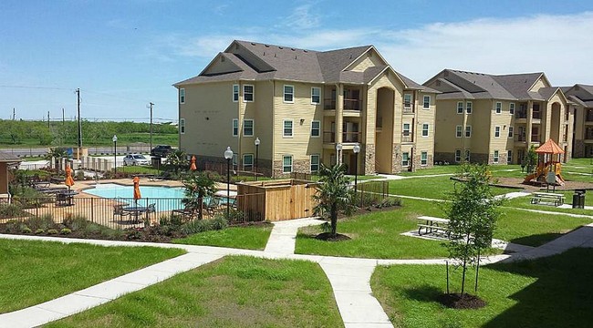
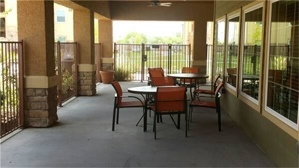
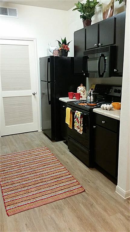
Pets Allowed Refrigerator Kitchen In Unit Washer & Dryer Maintenance on site Microwave


