

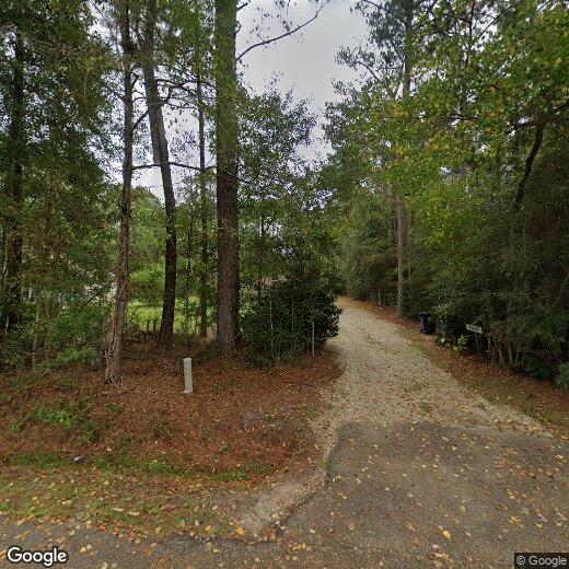
69250 Rowell St
69250 Rowell St
Mandeville, LA 70471
Favorites
69250 Rowell St

Favorites
Check Back Soon for Upcoming Availability
| Beds | Baths | Average SF |
|---|---|---|
| 1 Bedroom 1 Bedroom 1 Br | 1 Bath 1 Bath 1 Ba | — |
69250 Rowell St,
Mandeville,
LA
70471
Mandeville, Louisiana is a small city on the North Shore of Lake Pontchartrain. Just across the lake, you’ll find Louisiana’s most popular tourist spot, New Orleans. At one time, Mandeville was a lakeside summer resort for the wealthy, and remains from that time can be found in the older parts of the city, like the historic properties on Lakeshore Drive. The city’s well-established, wooded suburbs come with upscale amenities, like fine dining, local shops, and day spas. For the best fine dining, seafood cuisine, and water views on the North Shore, be sure to visit Rips on the Lake.
For nature lovers, Fontainebleau State Park is the place to be. With cabins, campsites, and a 31-mile trail for biking and hiking, the park is a one-stop-shop for outdoor recreation. Boating is a popular activity on Lake Pontchartrain with boat ramps and marinas located along the shore.
Learn more about living in Mandeville
Education
| Colleges & Universities | Distance | ||
|---|---|---|---|
| Colleges & Universities | Distance | ||
| Drive: | 43 min | 32.8 mi | |
| Drive: | 63 min | 42.4 mi | |
| Drive: | 62 min | 45.5 mi | |
| Drive: | 65 min | 46.5 mi |
69250 Rowell St is within 43 minutes or 32.8 miles from Southeastern La University. It is also near University of New Orleans and New Orleans Baptist.
Walkability Near 69250 Rowell St Mandeville, LA 70471
Getting Around
 What do Walkability, Transit, Drivability, and Bikeability mean?
Walkability measures the walking distance to day-to-day needs.
Transit measures access to public transportation.
Drivability measures congestion, parking availability, and access to major roads.
Bikeability measures the suitability for cycling.
How It Works
What do Walkability, Transit, Drivability, and Bikeability mean?
Walkability measures the walking distance to day-to-day needs.
Transit measures access to public transportation.
Drivability measures congestion, parking availability, and access to major roads.
Bikeability measures the suitability for cycling.
How It Works
Not Walkable
Walkability
10
/ 100
Exceptionally Drivable
Drivability
90
/ 100
Somewhat Bikeable
Bikeability
30
/ 100
Scores provided by
-
Soundscore™
-
/ 100
Traffic
-Airport
-Businesses
-Scores provided by
HowLoud What is a Sound Score Rating? A Sound Score Rating aggregates noise caused by vehicle traffic, airplane traffic and local sources. How It WorksYou May Also Like
Similar Rentals Nearby
-
-

-

-
 4 Beds, 3 Baths, 2,170 sq ft$2,700Total Monthly Price12 Month LeaseTotal Monthly Price NewPrices include all required monthly fees.2088 Timbercreek Ln
 -
 6 Beds, 3 Baths, 3,265 sq ft$2,790Total Monthly Price12 Month LeaseTotal Monthly Price NewPrices include all required monthly fees.584 Jack Dr
 -
 3 Beds, 2 Baths, 1,695 sq ft$2,300Total Monthly PriceTotal Monthly Price NewPrices include all required monthly fees.409 Gainesway Dr
 -
 3 Beds, 2 Baths, 1,531 sq ft$1,650Total Monthly Price12 Month LeaseTotal Monthly Price NewPrices include all required monthly fees.114 Meredith Dr
 -
 3 Beds, 3 Baths, 3,000 sq ft$4,900Total Monthly PriceTotal Monthly Price NewPrices include all required monthly fees.3106 Little Pl
 -
 3 Beds, 2 Baths, 1,134 sq ft$1,400Total Monthly Price12 Month LeaseTotal Monthly Price NewPrices include all required monthly fees.517 Erlanger Ave
 -
 3 Beds, 2 Baths, 1,500 sq ft$2,400Total Monthly PriceTotal Monthly Price NewPrices include all required monthly fees.39344 Rosalind Dr
What Are Walk Score®, Transit Score®, and Bike Score® Ratings?
Walk Score® measures the walkability of any address. Transit Score® measures access to public transit. Bike Score® measures the bikeability of any address.
What is a Sound Score Rating?
A Sound Score Rating aggregates noise caused by vehicle traffic, airplane traffic and local sources.
69250 Rowell St
Mandeville, LA 70471