$1,400
Total Monthly Price
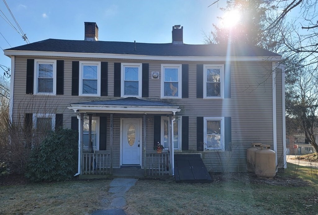
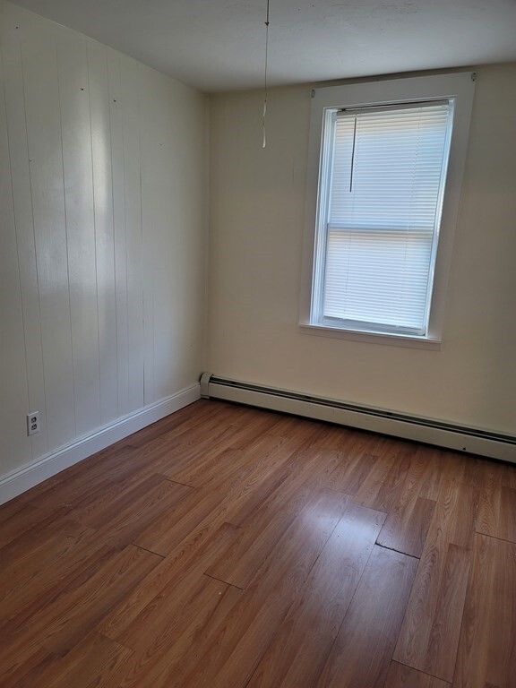
689 Main St Unit 1N
Oxford, MA 01537
Favorites
689 Main St Unit 1N

Favorites
Check Back Soon for Upcoming Availability
| Beds | Baths | Average SF |
|---|---|---|
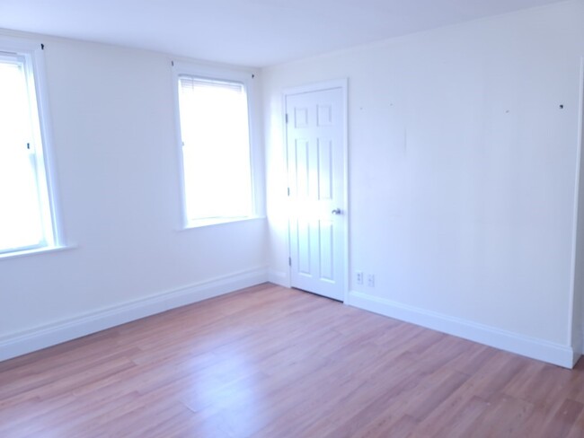
| 1 Bedroom 1 Bedroom 1 Br | 1 Bath 1 Bath 1 Ba | 600 SF |
Fees and Policies
The fees listed below are community-provided and may exclude utilities or add-ons. All payments are made directly to the property and are non-refundable unless otherwise specified.
- Dogs Allowed
-
Fees not specified
- Cats Allowed
-
Fees not specified
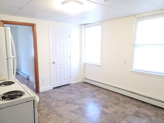
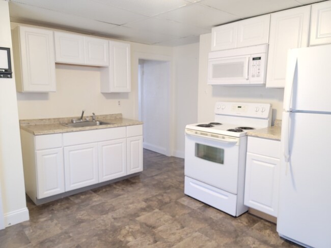
About This Property
HEAT AND HOT WATER INCLUDED! Off-street parking. Small one-bedroom apartment,with easy access to 395,290,Mass Pike,Routes 20 and 9! Tiny dogs and cats are allowed First,Last and Security tenants must have a minimum of 650 credit score,clean background,good references application $43 Per Person
689 Main St is an apartment community located in Worcester County and the 01537 ZIP Code.
689 Main St,
Oxford,
MA
01537
Education
| Colleges & Universities | Distance | ||
|---|---|---|---|
| Colleges & Universities | Distance | ||
| Drive: | 12 min | 6.7 mi | |
| Drive: | 13 min | 7.6 mi | |
| Drive: | 14 min | 8.7 mi | |
| Drive: | 18 min | 10.8 mi |
689 Main St Unit 1N is within 12 minutes or 6.7 miles from Becker College, Leicester. It is also near College of the Holy Cross and Clark University.
Walkability Near 689 Main St Oxford, MA 01537
Getting Around
 What do Walkability, Transit, Drivability, and Bikeability mean?
Walkability measures the walking distance to day-to-day needs.
Transit measures access to public transportation.
Drivability measures congestion, parking availability, and access to major roads.
Bikeability measures the suitability for cycling.
How It Works
What do Walkability, Transit, Drivability, and Bikeability mean?
Walkability measures the walking distance to day-to-day needs.
Transit measures access to public transportation.
Drivability measures congestion, parking availability, and access to major roads.
Bikeability measures the suitability for cycling.
How It Works
Somewhat Walkable
Walkability
30
/ 100
Limited Public Transit
Transit
30
/ 100
Exceptionally Drivable
Drivability
100
/ 100
Not Bikeable
Bikeability
10
/ 100
Scores provided by
-
Soundscore™
-
/ 100
Traffic
-Airport
-Businesses
-Scores provided by
HowLoud What is a Sound Score Rating? A Sound Score Rating aggregates noise caused by vehicle traffic, airplane traffic and local sources. How It WorksYou May Also Like
-
Halstead Marlborough
155 Ames St
Marlborough, MA 01752
$2,365 - $3,415 Total Monthly Price
1-3 Br 12 Month Lease 19.4 mi
-
57 Main
57 Main St
Marlborough, MA 01752
Call for Rent
1-2 Br 12 Month Lease 21.7 mi
-
Royal Crest Marlboro
19 Royal Crest Dr
Marlborough, MA 01752
$1,900 - $3,215 Total Monthly Price
1-2 Br 22.5 mi
Similar Rentals Nearby
-
-
-
1 Bed$2,164+2 Beds$3,094+Total Monthly PriceTotal Monthly Price NewPrices include base rent and required monthly fees. Variable costs based on usage may apply.Specials
Pets Allowed Fitness Center Pool Dishwasher Refrigerator In Unit Washer & Dryer
-
1 Bed$1,830+2 Beds$2,115+Total Monthly PriceTotal Monthly Price NewPrices include base rent and required monthly fees of $25. Variable costs based on usage may apply.Base Rent:1 Bed$1,805+2 Beds$2,090+Discounts
Pets Allowed Microwave Property Manager on Site Controlled Access Hardwood Floors Walk-Up
-
1 Bed$2,885+2 Beds$3,685+Total Monthly Price12 Month LeaseTotal Monthly Price NewPrices include base rent and required monthly fees of $90. Variable costs based on usage may apply.Base Rent:1 Bed$2,795+2 Beds$3,595+
Pets Allowed Fitness Center Pool Walk-In Closets Stainless Steel Appliances Lounge
-
-
1 / 10

-
1 / 9

-
1 Bed$2,209+2 Beds$2,629+3 Beds$3,369+Total Monthly PriceTotal Monthly Price NewPrices include all required monthly fees.
Pets Allowed Fitness Center Pool Dishwasher Refrigerator Walk-In Closets
-
1 Bed$2,130+2 Beds$3,116+3 Beds$3,940+Total Monthly PriceTotal Monthly Price NewPrices include base rent and required monthly fees. Variable costs based on usage may apply.Specials
Pets Allowed Maintenance on site Elevator


What Are Walk Score®, Transit Score®, and Bike Score® Ratings?
Walk Score® measures the walkability of any address. Transit Score® measures access to public transit. Bike Score® measures the bikeability of any address.
What is a Sound Score Rating?
A Sound Score Rating aggregates noise caused by vehicle traffic, airplane traffic and local sources.

689 Main St
Oxford, MA 01537