

$675
/ Month
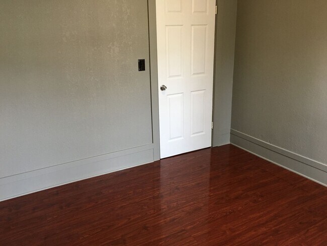
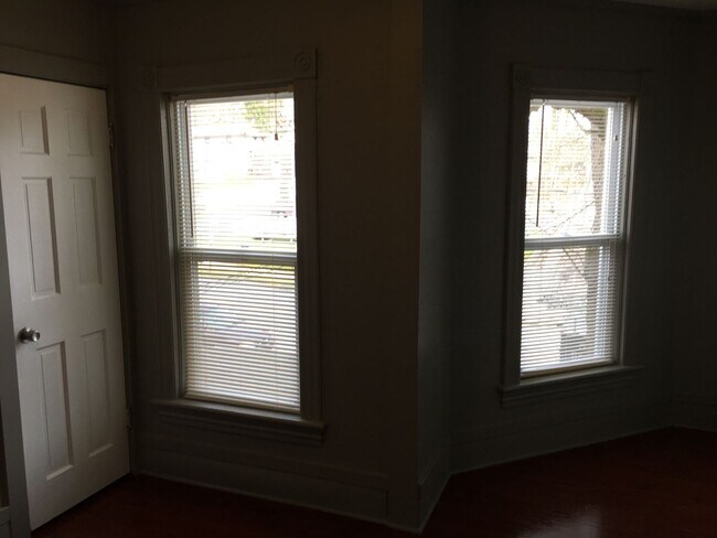
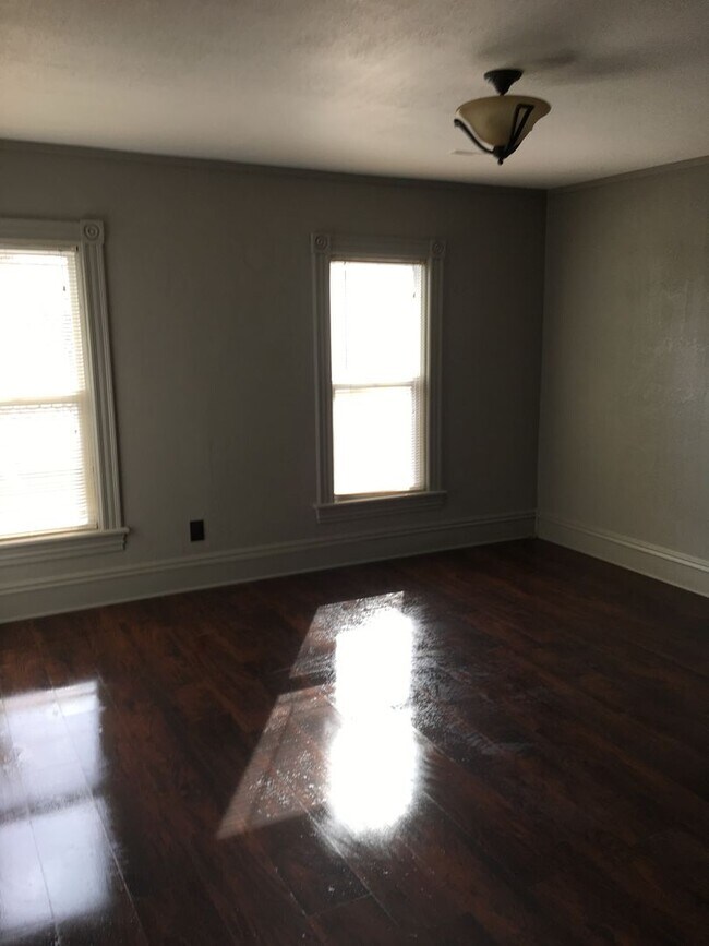
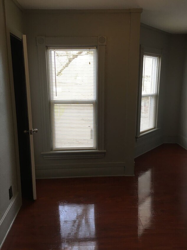
676-676-676-672 N Main St Unit 676 1/2
Meadville, PA 16335
2 Weeks Ago
|
Edit
Favorites
676-676-676-672 N Main St Unit 676 1/2

Favorites
Check Back Soon for Upcoming Availability
| Beds | Baths | Average SF |
|---|---|---|
| 2 Bedrooms 2 Bedrooms 2 Br | 1 Bath 1 Bath 1 Ba | — |
676-676-676-672 N Main St,
Meadville,
PA
16335
Located along the banks of French Creek, Meadville is a scenic small town in northwestern Pennsylvania. Meadville is the seat of Crawford County, hosting the popular Crawford County Fair every year. Outdoor recreation abounds in Meadville, with convenient access to numerous parks, trails, lakes, and golf courses.
The historic, walkable downtown area in Meadville hosts a variety of independent shops, breweries, live musical performances, and art shows. Meadville is home to a unique public art installation called Read between the Signs, a collaborative effort between PennDOT and Allegheny College to reuse old street signs to create colorful sculptures. Meadville offers all the comforts of small-town life within a quick drive to Erie and Pittsburgh.
Learn more about living in Meadville
Education
| Colleges & Universities | Distance | ||
|---|---|---|---|
| Colleges & Universities | Distance | ||
| Walk: | 7 min | 0.4 mi | |
| Drive: | 30 min | 18.7 mi | |
| Drive: | 48 min | 38.3 mi | |
| Drive: | 52 min | 40.7 mi |
676-676-676-672 N Main St Unit 676 1/2 is within 7 minutes or 0.4 mile from Allegheny College. It is also near Edinboro University and Lake Erie College.
Walkability Near 676-676-676-672 N Main St Meadville, PA 16335
Getting Around
 What do Walkability, Transit, Drivability, and Bikeability mean?
Walkability measures the walking distance to day-to-day needs.
Transit measures access to public transportation.
Drivability measures congestion, parking availability, and access to major roads.
Bikeability measures the suitability for cycling.
How It Works
What do Walkability, Transit, Drivability, and Bikeability mean?
Walkability measures the walking distance to day-to-day needs.
Transit measures access to public transportation.
Drivability measures congestion, parking availability, and access to major roads.
Bikeability measures the suitability for cycling.
How It Works
Fairly Walkable
Walkability
50
/ 100
Exceptionally Drivable
Drivability
90
/ 100
Moderately Bikeable
Bikeability
70
/ 100
Scores provided by
-
Soundscore™
-
/ 100
Traffic
-Airport
-Businesses
-Scores provided by
HowLoud What is a Sound Score Rating? A Sound Score Rating aggregates noise caused by vehicle traffic, airplane traffic and local sources. How It WorksYou May Also Like
Similar Rentals Nearby


What Are Walk Score®, Transit Score®, and Bike Score® Ratings?
Walk Score® measures the walkability of any address. Transit Score® measures access to public transit. Bike Score® measures the bikeability of any address.
What is a Sound Score Rating?
A Sound Score Rating aggregates noise caused by vehicle traffic, airplane traffic and local sources.
676-676-676-672 N Main St
Meadville, PA 16335