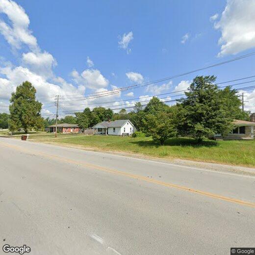
6711 Lower Hunters Trce
6711 Lower Hunters Trce
Louisville, KY 40258
2 Weeks Ago
|
Edit
Favorites
6711 Lower Hunters Trce

Favorites
Check Back Soon for Upcoming Availability
6711 Lower Hunters Trce,
Louisville,
KY
40258
Louisville sits right on the Ohio River, where a row of historic brick buildings meets a beautiful downtown skyline. The city gives renters everything from walkable streets in Old Louisville to the bustling indie shops of NuLu, the East Market District. The Highlands neighborhood draws plenty of traffic along Bardstown Road, with cafes and bars steps away from Cherokee Park, while Clifton and Crescent Hill line Frankfort Avenue with coffee shops and local spots worth exploring on any afternoon.
Rental options here range the full spectrum, from charming Victorian-era townhomes in historic neighborhoods to modern high-rise apartment communities downtown. The University of Louisville is located on the southern side of the city and adds an energetic, creative pulse to surrounding areas.
Louisville is one of the only cities in the world where you can tour the entire bourbon-making process from grain to glass, thanks to its central role in Kentucky's legendary Bourbon Trail.
Learn more about living in Louisville
Education
| Colleges & Universities | Distance | ||
|---|---|---|---|
| Colleges & Universities | Distance | ||
| Drive: | 14 min | 6.9 mi | |
| Drive: | 16 min | 8.7 mi | |
| Drive: | 16 min | 9.8 mi | |
| Drive: | 18 min | 10.0 mi |
6711 Lower Hunters Trce is within 14 minutes or 6.9 miles from Jefferson Comm. & Tech., SW. It is also near Univ. of Louisville, Belknap and Jefferson Comm. & Tech., JTC.
Walkability Near 6711 Lower Hunters Trce Louisville, KY 40258
Getting Around
 What do Walkability, Transit, Drivability, and Bikeability mean?
Walkability measures the walking distance to day-to-day needs.
Transit measures access to public transportation.
Drivability measures congestion, parking availability, and access to major roads.
Bikeability measures the suitability for cycling.
How It Works
What do Walkability, Transit, Drivability, and Bikeability mean?
Walkability measures the walking distance to day-to-day needs.
Transit measures access to public transportation.
Drivability measures congestion, parking availability, and access to major roads.
Bikeability measures the suitability for cycling.
How It Works
Somewhat Walkable
Walkability
20
/ 100
Limited Public Transit
Transit
20
/ 100
Exceptionally Drivable
Drivability
100
/ 100
Somewhat Bikeable
Bikeability
30
/ 100
Scores provided by
-
Soundscore™
-
/ 100
Traffic
-Airport
-Businesses
-Scores provided by
HowLoud What is a Sound Score Rating? A Sound Score Rating aggregates noise caused by vehicle traffic, airplane traffic and local sources. How It WorksYou May Also Like
Similar Rentals Nearby


What Are Walk Score®, Transit Score®, and Bike Score® Ratings?
Walk Score® measures the walkability of any address. Transit Score® measures access to public transit. Bike Score® measures the bikeability of any address.
What is a Sound Score Rating?
A Sound Score Rating aggregates noise caused by vehicle traffic, airplane traffic and local sources.