670 San Antonio Rd Unit 28
Palo Alto, CA 94306
Check Back Soon for Upcoming Availability
| Beds | Baths | Average SF |
|---|---|---|
| 3 Bedrooms 3 Bedrooms 3 Br | 2.5 Baths 2.5 Baths 2.5 Ba | 1,320 SF |
Fees and Policies
The fees listed below are community-provided and may exclude utilities or add-ons. All payments are made directly to the property and are non-refundable unless otherwise specified.
- Parking
-
Garage--
Details
Lease Options
-
12 Months
670 San Antonio Rd is a condo located in Santa Clara County and the 94306 ZIP Code.
Condo Features
- Washer/Dryer
- Smoke Free
Living in Palo Alto places you in Silicon Valley, where historic neighborhoods complement the city's technological presence. Tree-lined streets wind through the community, which is anchored by Stanford University. University Avenue features local boutiques and restaurants housed in preserved historic buildings, while the Stanford Shopping Center offers high-end retail destinations. The city maintains 36 parks and preserves, including the Baylands Nature Preserve and Foothills Park, where residents enjoy hiking trails and outdoor activities. Palo Alto's infrastructure supports alternative transportation, with dedicated bike lanes throughout the city.
The rental market in Palo Alto reflects the area's popularity, with current average rents ranging from $2,634 for studios to $6,139 for four-bedroom homes. Recent trends show steady growth, with rent increases varying from 1.8% to 17% across different unit sizes over the past year.
Learn more about living in Palo AltoBelow are rent ranges for similar nearby apartments
- Washer/Dryer
- Smoke Free
| Colleges & Universities | Distance | ||
|---|---|---|---|
| Colleges & Universities | Distance | ||
| Walk: | 9 min | 0.5 mi | |
| Drive: | 12 min | 4.9 mi | |
| Drive: | 13 min | 4.9 mi | |
| Drive: | 16 min | 9.6 mi |
Transportation options available in Palo Alto include Mountain View Station, located 2.8 miles from 670 San Antonio Rd Unit 28. 670 San Antonio Rd Unit 28 is near Norman Y Mineta San Jose International, located 11.0 miles or 16 minutes away, and San Francisco International, located 23.2 miles or 31 minutes away.
| Transit / Subway | Distance | ||
|---|---|---|---|
| Transit / Subway | Distance | ||
| Drive: | 6 min | 2.8 mi | |
| Drive: | 6 min | 3.4 mi | |
|
|
Drive: | 8 min | 4.0 mi |
|
|
Drive: | 8 min | 4.1 mi |
| Drive: | 8 min | 4.3 mi |
| Commuter Rail | Distance | ||
|---|---|---|---|
| Commuter Rail | Distance | ||
| Drive: | 4 min | 1.3 mi | |
| Drive: | 8 min | 3.1 mi | |
| Drive: | 9 min | 3.7 mi | |
| Drive: | 12 min | 4.8 mi | |
| Drive: | 11 min | 6.3 mi |
| Airports | Distance | ||
|---|---|---|---|
| Airports | Distance | ||
|
Norman Y Mineta San Jose International
|
Drive: | 16 min | 11.0 mi |
|
San Francisco International
|
Drive: | 31 min | 23.2 mi |
Time and distance from 670 San Antonio Rd Unit 28.
| Shopping Centers | Distance | ||
|---|---|---|---|
| Shopping Centers | Distance | ||
| Walk: | 9 min | 0.5 mi | |
| Walk: | 11 min | 0.6 mi | |
| Walk: | 12 min | 0.7 mi |
| Parks and Recreation | Distance | ||
|---|---|---|---|
| Parks and Recreation | Distance | ||
|
J. Pearce Mitchell Park
|
Drive: | 5 min | 1.3 mi |
|
Terman Park
|
Drive: | 7 min | 2.6 mi |
|
Stevens Creek Shoreline Nature Study Area
|
Drive: | 8 min | 2.8 mi |
|
Bol Park
|
Drive: | 9 min | 3.4 mi |
|
Esther Clark Nature Preserve
|
Drive: | 10 min | 3.6 mi |
| Hospitals | Distance | ||
|---|---|---|---|
| Hospitals | Distance | ||
| Drive: | 9 min | 5.0 mi | |
| Drive: | 14 min | 5.5 mi | |
| Drive: | 15 min | 6.1 mi |
| Military Bases | Distance | ||
|---|---|---|---|
| Military Bases | Distance | ||
| Drive: | 9 min | 3.9 mi |
You May Also Like
Similar Rentals Nearby
-
3 Beds, 2 Baths, 1,143 sq ft$3,495Total Monthly Price12 Month LeaseTotal Monthly Price NewPrices include all required monthly fees.
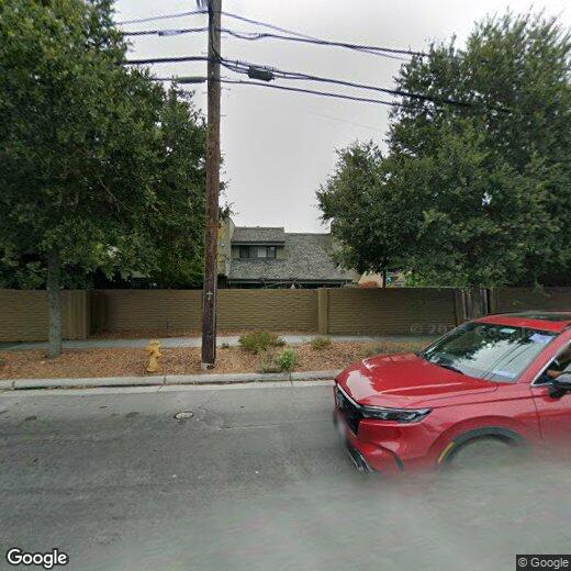
832 N Abbott Ave Unit 832
-
4 Beds, 1 Bath, 3,000 sq ft$4,200Total Monthly Price12 Month LeaseTotal Monthly Price NewPrices include all required monthly fees.468 S 6th St Unit 1
-
-
-
-
-
-
-
-
What Are Walk Score®, Transit Score®, and Bike Score® Ratings?
Walk Score® measures the walkability of any address. Transit Score® measures access to public transit. Bike Score® measures the bikeability of any address.
What is a Sound Score Rating?
A Sound Score Rating aggregates noise caused by vehicle traffic, airplane traffic and local sources.