
$2,045
/ Month
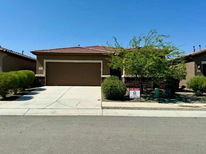
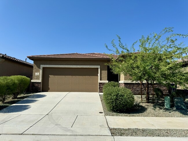
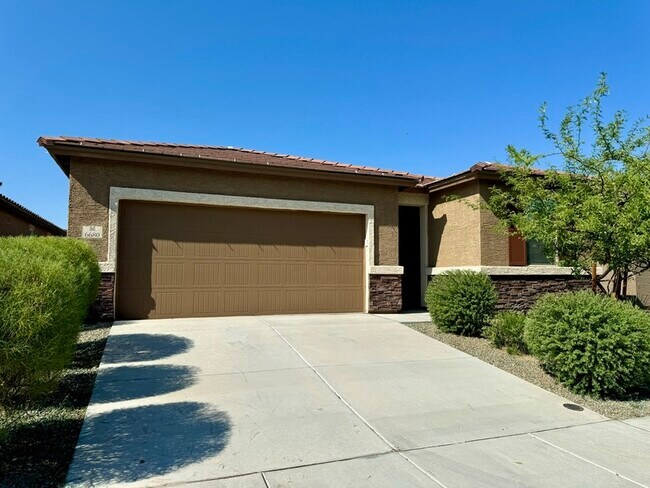
6680 E Via Arroyo Azul
Tucson, AZ 85756
2 Weeks Ago
|
Edit
Favorites
6680 E Via Arroyo Azul

Favorites
Check Back Soon for Upcoming Availability
| Beds | Baths | Average SF |
|---|---|---|
| 4 Bedrooms 4 Bedrooms 4 Br | 2 Baths 2 Baths 2 Ba | 1,727 SF |
About This Property
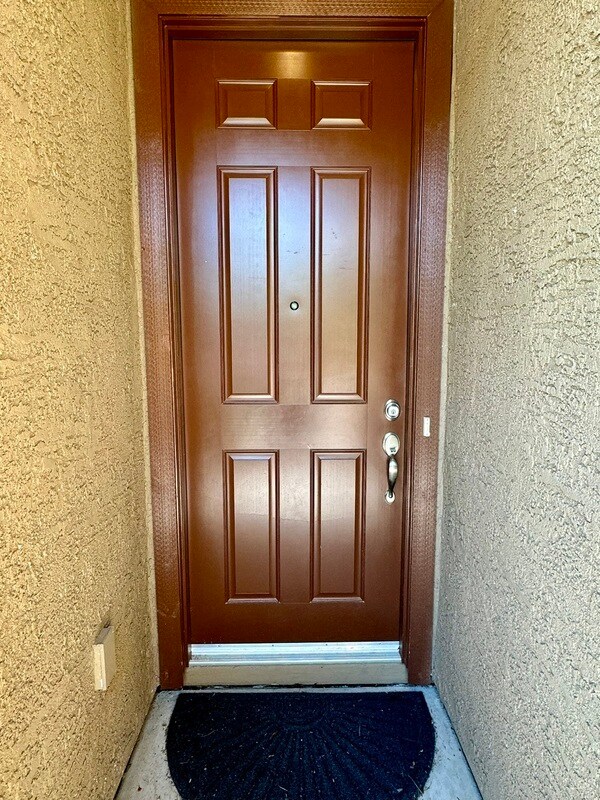
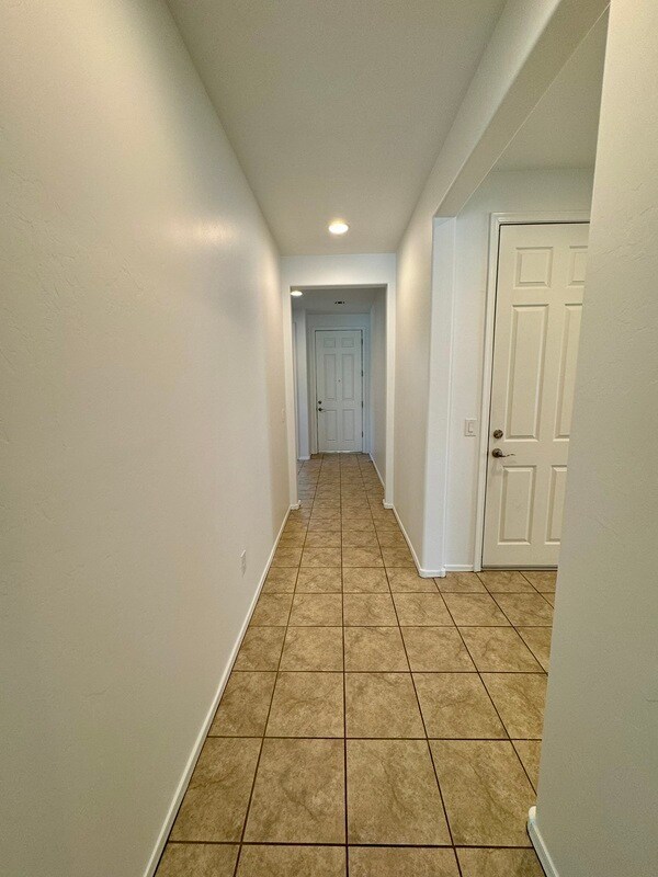
Welcome to this charming rental property in Tucson! This three-year-old home has 4 bed + 2 bath and 1727 sq ft of living space! It features a bright and spacious great room and a kitchen with stainless steel appliances, granite countertops, convenient breakfast bar, and plenty of storage space including a walk-in pantry. The home is tiled throughout with the exception of the carpeted bedrooms. Ceiling fans in the primary bedroom and living room. Primary bedroom has a spacious walk-in closet and double-sink vanity. This property includes a large 2-car garage and fully landscaped front and backyard. Washer and dryer NOT included. The home is in an HOA, ideal for those seeking community living! Move-in requirements are first and last month's rent and security deposit equivalent to one month of rent. Pets allowed ($250 one-time pet fee). Rental applications are reviewed in the order they are first received ($80 application fee). Don't wait to schedule your showing, as this property won't be available for long- call/text Jill at Leizer Property Management: .
6680 E Via Arroyo Azul is a house located in Pima County and the 85756 ZIP Code. This area is served by the Vail Unified District attendance zone.
6680 E Via Arroyo Azul,
Tucson,
AZ
85756
In the city of Tucson, Ward 4 sits east of Interstate 19, with Interstate 10 running north and south through its east side. Ward 4 consists of several neighborhoods including Dietz, Groves Lincoln Park, Terra Del Sol, Civano, and Mesquite Ranch. Pima County’s Ward 4 has a variety of rentals, many of which reflect southwestern styles. Residents head to the town’s recreation center several times a week for freshly brewed coffee and potluck dinners.
Neighbors use the Valencia Library computers, meeting and study rooms, and Wi-Fi to study for exams or to read a book. Locals are sure to swing by Omar’s Hi-Way Chef Restaurant for a diner-style meal, such as fluffy pancakes, sausage, eggs, and country fried potatoes.
Learn more about living in Ward 4Below are rent ranges for similar nearby apartments
Education
| Colleges & Universities | Distance | ||
|---|---|---|---|
| Colleges & Universities | Distance | ||
| Drive: | 13 min | 6.2 mi | |
| Drive: | 20 min | 10.2 mi | |
| Drive: | 21 min | 12.5 mi | |
| Drive: | 18 min | 12.6 mi |
6680 E Via Arroyo Azul is within 13 minutes or 6.2 miles from Pima C.C., East Campus. It is also near Pima C.C., Desert Vista Campus and University of Arizona.
Schools


Public Elementary School
Grades K-5
563 Students
Attendance Zone
Public Elementary, Middle & High School
Grades K-12
61 Students
Attendance Zone
Public Middle School
Grades 6-8
739 Students
Attendance Zone
Public High School
Grades 9-12
836 Students
Attendance Zone
Public High School
Grades 9-12
886 Students
Attendance Zone
Private Elementary & Middle School
Grades PK-8
316 Students
Nearby
Private Elementary, Middle & High School
Grades K-12
61 Students
Nearby
School data provided by
 The GreatSchools Rating helps parents compare schools within a state based on a variety of school quality indicators and provides a helpful picture of how effectively each school serves all of its students. Ratings are on a scale of 1 (below average) to 10 (above average) and can include test scores, college readiness, academic progress, advanced courses, equity, discipline and attendance data. We also advise parents to visit schools, consider other information on school performance and programs, and consider family needs as part of the school selection process.
View GreatSchools Rating Methodology
Data provided by GreatSchools.org © 2026. All rights reserved.
View GreatSchools Rating Methodology
Data provided by GreatSchools.org © 2026. All rights reserved.
Transportation options available in Tucson include Sl/2Nd St/Cherry Av, located 12.1 miles from 6680 E Via Arroyo Azul. 6680 E Via Arroyo Azul is near Tucson International, located 7.2 miles or 14 minutes away.
| Transit / Subway | Distance | ||
|---|---|---|---|
| Transit / Subway | Distance | ||
| Drive: | 20 min | 12.1 mi | |
| Drive: | 21 min | 12.2 mi | |
| Drive: | 21 min | 12.2 mi | |
| Drive: | 17 min | 12.6 mi | |
| Drive: | 18 min | 12.8 mi |
| Commuter Rail | Distance | ||
|---|---|---|---|
| Commuter Rail | Distance | ||
|
|
Drive: | 18 min | 12.9 mi |
|
|
Drive: | 41 min | 37.1 mi |
| Airports | Distance | ||
|---|---|---|---|
| Airports | Distance | ||
|
Tucson International
|
Drive: | 14 min | 7.2 mi |
Time and distance from 6680 E Via Arroyo Azul.
| Shopping Centers | Distance | ||
|---|---|---|---|
| Shopping Centers | Distance | ||
| Drive: | 9 min | 5.3 mi | |
| Drive: | 11 min | 5.4 mi | |
| Drive: | 16 min | 10.3 mi |
6680 E Via Arroyo Azul has 3 shopping centers within 10.3 miles, which is about a 16-minute drive. The miles and minutes will be for the farthest away property.
| Parks and Recreation | Distance | ||
|---|---|---|---|
| Parks and Recreation | Distance | ||
|
Thomas Jay Regional Park
|
Drive: | 6 min | 3.1 mi |
|
Augie Acuna Los Ninos Park
|
Drive: | 12 min | 5.3 mi |
|
Groves Park
|
Drive: | 12 min | 5.7 mi |
|
Escalante Park
|
Drive: | 11 min | 5.9 mi |
|
Abraham Lincoln Park and Atturbury Wash Greenway
|
Drive: | 13 min | 6.3 mi |
6680 E Via Arroyo Azul has 5 parks within 6.3 miles, including Thomas Jay Regional Park, Augie Acuna Los Ninos Park, and Groves Park.
| Hospitals | Distance | ||
|---|---|---|---|
| Hospitals | Distance | ||
| Drive: | 12 min | 8.3 mi | |
| Drive: | 18 min | 9.8 mi | |
| Drive: | 20 min | 10.8 mi |
6680 E Via Arroyo Azul has 3 hospitals within 10.8 miles, the nearest is Banner - University Medical Center South Campus which is 8.3 miles away and a 12 minute drive.
| Military Bases | Distance | ||
|---|---|---|---|
| Military Bases | Distance | ||
| Drive: | 9 min | 4.9 mi | |
| Drive: | 15 min | 7.3 mi | |
| Drive: | 75 min | 63.8 mi |
6680 E Via Arroyo Azul has 3 military bases within 63.8 miles, the nearest is Davis Monthan Air Force Base which is 4.9 miles away and a 9 minute drive.
You May Also Like
Similar Rentals Nearby
-
-

-

-

-

-
 4 Beds$2,055Total Monthly PriceTotal Monthly Price NewPrices include all required monthly fees.House for Rent
 -

-

-
 4 Beds$1,825Total Monthly PriceTotal Monthly Price NewPrices include all required monthly fees.House for Rent
 -

What Are Walk Score®, Transit Score®, and Bike Score® Ratings?
Walk Score® measures the walkability of any address. Transit Score® measures access to public transit. Bike Score® measures the bikeability of any address.
What is a Sound Score Rating?
A Sound Score Rating aggregates noise caused by vehicle traffic, airplane traffic and local sources.

6680 E Via Arroyo Azul
Tucson, AZ 85756