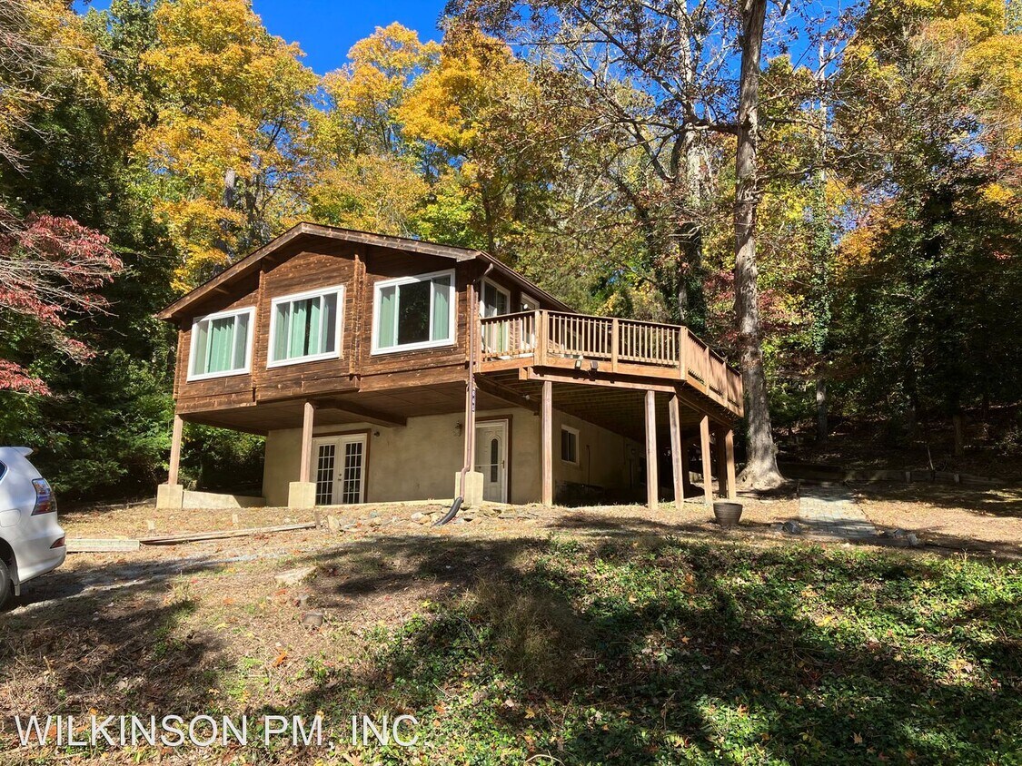
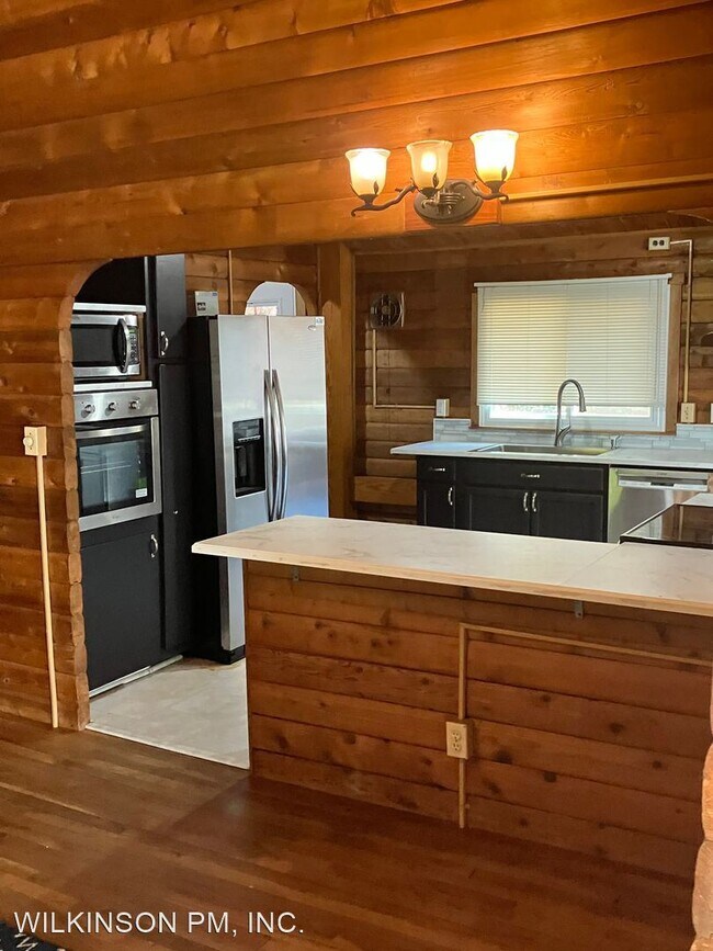
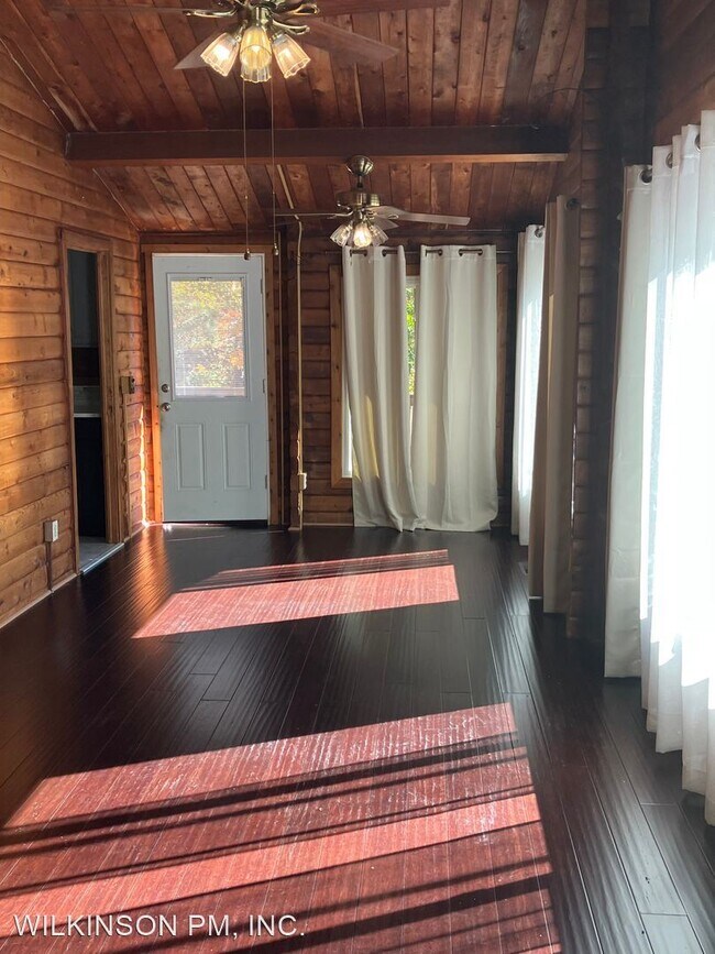
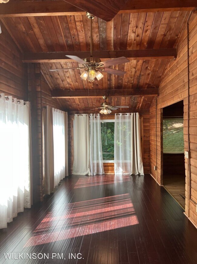


3 Beds
$1,850
Total Monthly Price
12 Month Lease
Total Monthly Price
New
Prices include all required monthly fees.
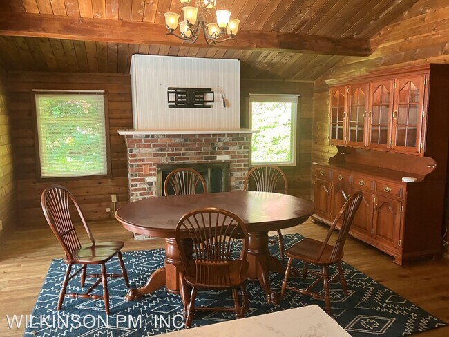
22234 Hawthorne Way


