

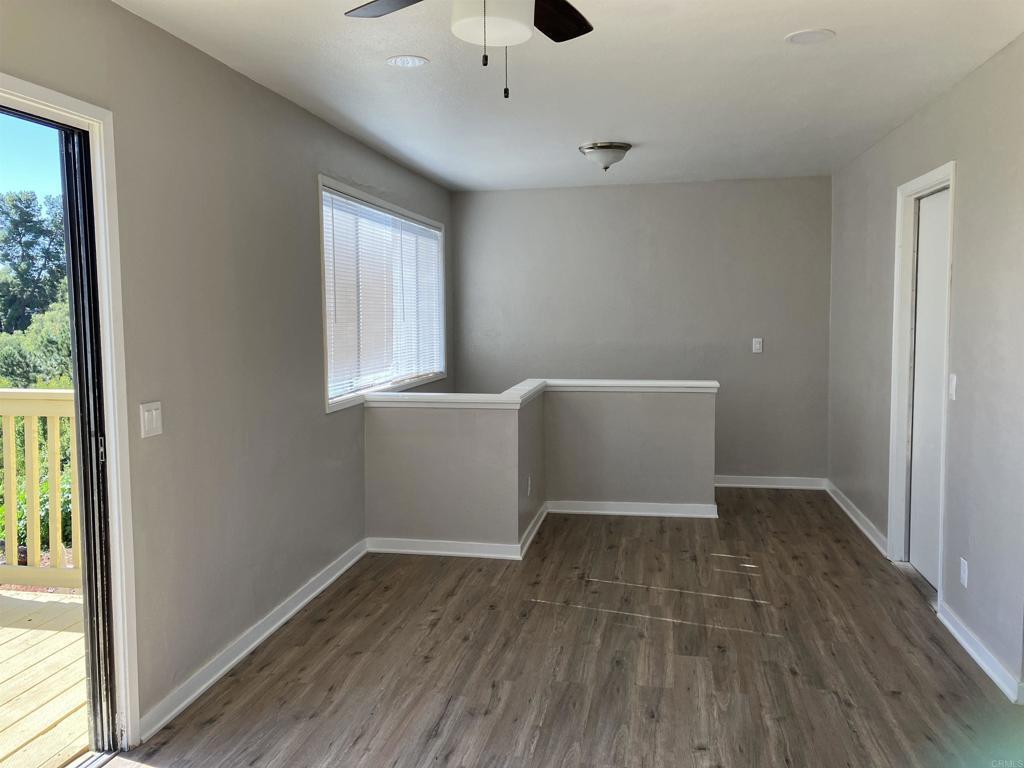
$2,000 / Month
6391 Tooley St
San Diego, CA 92114
Today
Favorites
641-426-2900
-
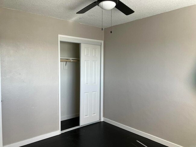
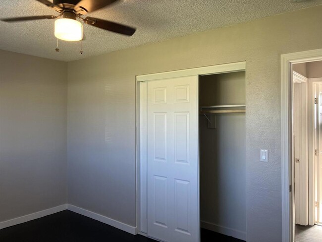
Bedrooms
2
-
Bathrooms
1
-
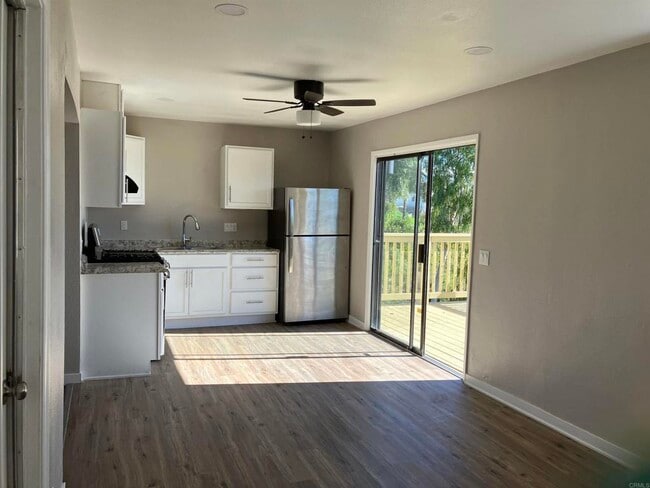
Square Feet
1,080 sq ft
-
Available
Available Jun 23
6391 Tooley St

Favorites
Encanto is a large, hilly community about five miles inland from San Diego Bay. The landscape is primarily suburban, mostly filled with single-family homes and manicured lawns (though many apartments and condos can be found near Imperial Avenue). Numerous public schools serve the community, giving many local students the option to walk to class.
In addition to bus service, the trolley line has a stop at the intersection of Akins Avenue and 62nd Street, making it easy to get around the city. With the Gaslamp Quarter just ten minutes away and Ocean Beach less than half an hour down the road, San Diego’s greatest attractions are yours for the taking.
Learn more about living in Encanto
Education
| Colleges & Universities | Distance | ||
|---|---|---|---|
| Colleges & Universities | Distance | ||
| Drive: | 18 min | 5.3 mi | |
| Drive: | 9 min | 6.2 mi | |
| Drive: | 10 min | 6.6 mi | |
| Drive: | 10 min | 7.3 mi |
6391 Tooley St is within 18 minutes or 5.3 miles from San Diego State University. It is also near San Diego City College and Thomas Jefferson School of Law.
Schools


Public Elementary School
Grades K-5
415 Students
Attendance Zone
Public Elementary School
Grades K-6
333 Students
Nearby
Public Middle School
Grades 6-8
365 Students
Attendance Zone
Public High School
Grades 9-12
1,407 Students
Attendance Zone
Private Elementary, Middle & High School
Grades 4-12
Nearby
Private Elementary, Middle & High School
Grades 1-12
Nearby
Private Elementary, Middle & High School
Grades PK-12
41 Students
Nearby
Private Elementary, Middle & High School
Grades PK-12
273 Students
Nearby
Private Middle & High School
Grades 8-12
6 Students
Nearby
School data provided by
 The GreatSchools Rating helps parents compare schools within a state based on a variety of school quality indicators and provides a helpful picture of how effectively each school serves all of its students. Ratings are on a scale of 1 (below average) to 10 (above average) and can include test scores, college readiness, academic progress, advanced courses, equity, discipline and attendance data. We also advise parents to visit schools, consider other information on school performance and programs, and consider family needs as part of the school selection process.
View GreatSchools Rating Methodology
Data provided by GreatSchools.org © 2025. All rights reserved.
View GreatSchools Rating Methodology
Data provided by GreatSchools.org © 2025. All rights reserved.
Transportation options available in San Diego include Encanto/62Nd St Station, located 1.6 miles from 6391 Tooley St. 6391 Tooley St is near San Diego International, located 9.8 miles or 15 minutes away.
| Transit / Subway | Distance | ||
|---|---|---|---|
| Transit / Subway | Distance | ||
|
|
Drive: | 4 min | 1.6 mi |
|
|
Drive: | 5 min | 2.0 mi |
|
|
Drive: | 6 min | 2.7 mi |
|
|
Drive: | 5 min | 2.7 mi |
|
|
Drive: | 7 min | 3.4 mi |
| Commuter Rail | Distance | ||
|---|---|---|---|
| Commuter Rail | Distance | ||
| Drive: | 11 min | 7.3 mi | |
| Drive: | 14 min | 10.5 mi | |
| Drive: | 24 min | 18.1 mi | |
|
|
Drive: | 34 min | 25.7 mi |
| Drive: | 37 min | 29.3 mi |
| Airports | Distance | ||
|---|---|---|---|
| Airports | Distance | ||
|
San Diego International
|
Drive: | 15 min | 9.8 mi |
Time and distance from 6391 Tooley St.
| Shopping Centers | Distance | ||
|---|---|---|---|
| Shopping Centers | Distance | ||
| Drive: | 3 min | 1.5 mi | |
| Drive: | 3 min | 1.5 mi | |
| Drive: | 5 min | 1.7 mi |
6391 Tooley St has 3 shopping centers within 1.7 miles, which is about a 5-minute drive. The miles and minutes will be for the farthest away property.
| Parks and Recreation | Distance | ||
|---|---|---|---|
| Parks and Recreation | Distance | ||
|
Chollas Lake Park
|
Drive: | 11 min | 3.2 mi |
|
Sweetwater Lane County Park
|
Drive: | 11 min | 4.8 mi |
|
Lamar County Park
|
Drive: | 10 min | 5.5 mi |
|
Eucalyptus County Park
|
Drive: | 10 min | 5.9 mi |
|
Sweetwater Regional Park
|
Drive: | 13 min | 6.2 mi |
6391 Tooley St has 5 parks within 6.2 miles, including Chollas Lake Park, Lamar County Park, and Sweetwater Lane County Park.
| Hospitals | Distance | ||
|---|---|---|---|
| Hospitals | Distance | ||
| Drive: | 9 min | 4.3 mi | |
| Drive: | 9 min | 4.5 mi | |
| Drive: | 12 min | 5.0 mi |
6391 Tooley St has 3 hospitals within 5.0 miles, the nearest is Paradise Valley Hospital which is 4.3 miles away and a 9 minute drive.
| Military Bases | Distance | ||
|---|---|---|---|
| Military Bases | Distance | ||
| Drive: | 11 min | 7.5 mi | |
| Drive: | 19 min | 12.7 mi |
6391 Tooley St is 7.5 miles from San Diego Naval Air Station, and is convenient to other military bases, including US Naval Amphibious Base.
You May Also Like
Similar Rentals Nearby


What Are Walk Score®, Transit Score®, and Bike Score® Ratings?
Walk Score® measures the walkability of any address. Transit Score® measures access to public transit. Bike Score® measures the bikeability of any address.
What is a Sound Score Rating?
A Sound Score Rating aggregates noise caused by vehicle traffic, airplane traffic and local sources
6391 Tooley St
San Diego, CA 92114