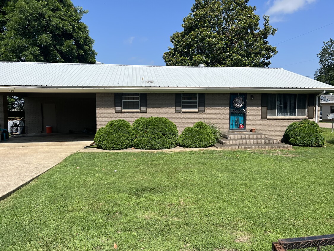
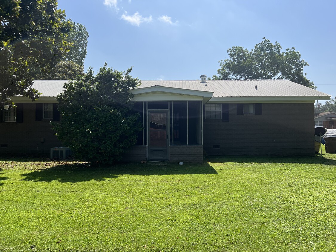
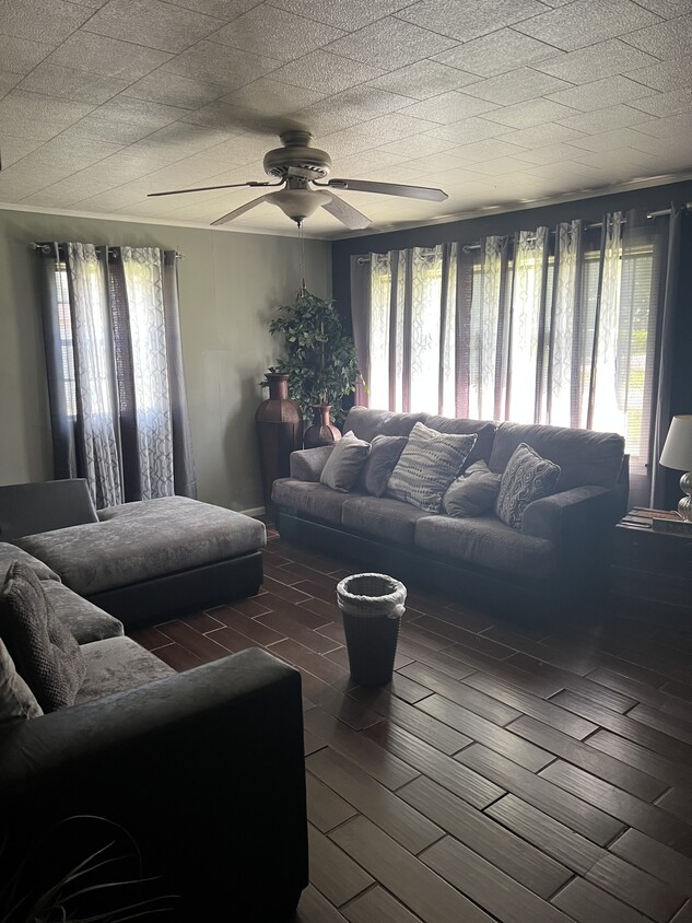
$800 Total Monthly Price

639 Hodges St

,

Forrest City, AR 72335

2 Weeks Ago
| Edit

Under 30 minutes

Commute Time is calculated at rush hour.
Share Listing
Favorites
639 Hodges St
Share Listing
Favorites

Check Back Soon for Upcoming Availability

Beds Baths Average SF
3 Bedrooms 3 Bedrooms 3 Br 2 Baths 2 Baths 2 Ba 1,350 SF

Fees and Policies

The fees listed below are community-provided and may exclude utilities or add-ons. All payments are made directly to the property and are non-refundable unless otherwise specified.

  • Parking
  • Covered
    --

About This Property

3 Br 2 Baths washer, dryer, kitchen appliances (refrigerator/microwave, stove) included. Covered Parking. Small Dogs allowed

639 Hodges St is a house located in St Francis County and the 72335 ZIP Code.

House Features

Washer/Dryer

Air Conditioning

Microwave

Refrigerator

  • Washer/Dryer
  • Air Conditioning
  • Kitchen
  • Microwave
  • Refrigerator
Location
639 Hodges St, Forrest City,
AR 72335
Get Directions
City - Forrest City

Situated along the I-40 corridor between Little Rock and Memphis, Tennessee, Forrest City is a small town on the move. Established in 1870, Forrest City touts a storied past evident in the historic buildings that populate the downtown area, the many artifacts on display at the Saint Francis County Museum, and the town’s location on Davidson’s Approach—which is part of the Arkansas Heritage Trails System.

Forrest City residents enjoy a tranquil atmosphere, with plenty of lush surroundings and quiet neighborhoods. Outdoor recreation abounds at numerous local parks in addition to the nearby Village Creek State Park, Saint Francis National Forest, and White River National Wildlife Refuge. Forrest City is also within minutes of multiple rivers, where residents partake in fishing and kayaking.

Learn more about living in Forrest City 
Amenities
  • Washer/Dryer
  • Air Conditioning
  • Kitchen
  • Microwave
  • Refrigerator
Transportation

Walkability Near 639 Hodges St Forrest City, AR 72335

Getting Around
Somewhat Walkable
Walkability
30 / 100
Exceptionally Drivable
Drivability
90 / 100
Somewhat Bikeable
Bikeability
30 / 100

Scores provided by

What do Walkability, Transit, Drivability, and Bikeability mean? Walkability measures the walking distance to day-to-day needs. Transit measures access to public transportation. Drivability measures congestion, parking availability, and access to major roads. Bikeability measures the suitability for cycling. How It Works
-
Soundscore
- / 100

Traffic

-

Airport

-

Businesses

-

Scores provided by

HowLoud What is a Sound Score Rating? A Sound Score Rating aggregates noise caused by vehicle traffic, airplane traffic and local sources. How It Works
Points of Interest

Time and distance from 639 Hodges St.

Shopping Centers Distance
Walk: 17 min 0.9 mi
Drive: 4 min 1.8 mi
Drive: 4 min 1.9 mi
639 Hodges St has 3 shopping centers within 1.9 miles, which is about a 4-minute drive. The miles and minutes will be for the farthest away property.
Hospitals Distance
Hospitals Distance
Drive: 6 min 2.9 mi
639 Hodges St is 2.9 miles and a 6 minute drive from Forrest City Medical Center.
Military Bases Distance
Drive: 66 min 52.2 mi
Drive: 85 min 66.8 mi
639 Hodges St is 52.2 miles from Memphis Defense Depot, and is convenient to other military bases, including Memphis Naval Air Station.