
$1,250
Total Monthly Price
6335 Gifford Ave
Bell, CA 90201
2 Weeks Ago
|
Edit
Favorites
-
Bedrooms
Studio
-
Bathrooms
1
-
Square Feet
350 sq ft
Highlights
- Gated
- Smoke Free
6335 Gifford Ave

Favorites
About This Home
9 Month Lease,
$2,500 deposit
-Very nice and secure -Spotless Condition -Individual rental/ 1 person only no exceptions -Utilities are not included -Close to 710 & 5 Fwys -Walking distance to police department, supermarket, banks, and public transportation
6335 Gifford Ave is an apartment community located in Los Angeles County and the 90201 ZIP Code.
* Price shown is total price based on community-supplied monthly required fees. Excludes user-selected optional fees and variable or usage-based fees and required charges due at or prior to move-in or at move-out. Price, availability, fees, and any applicable rent special are subject to change without notice.
* Square footage definitions vary. Displayed square footage is approximate.
Apartment Features
- Air Conditioning
- Smoke Free
- Gated
Fees and Policies
The fees listed below are community-provided and may exclude utilities or add-ons. All payments are made directly to the property and are non-refundable unless otherwise specified.
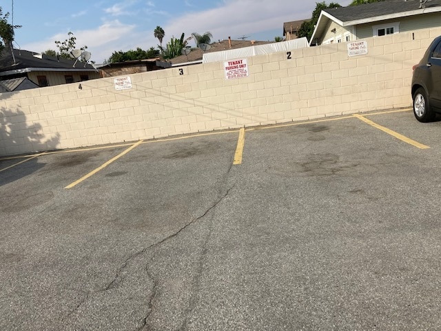
- Parking
-
Street--
Details
Property Information
-
10 units
Contact
Location
Get Directions
Southeast Los Angeles is directly south of the Fashion District and east of the University of Southern California (USC). This large neighborhood is minutes from downtown Los Angeles, Hollywood, and Beverly Hills, with easy access to the 110 Freeway. This great location places you near sunny beaches, nature trails, and a bevy of leading employers. Students can access both USC and California State University Long Beach from their Southeast LA apartment.
This densely populated, diverse neighborhood features everything from food trucks and corner markets to wide sidewalks and residential areas filled with bungalows, ranch, and Spanish Colonial architecture. Southeast LA features palm trees and mountain views, tampered with gritty undertones to give it a cool, funky vibe.
As for outdoor fun, take your pick between Catalina Island, Venus Beach, or the Santa Monica Pier. Nearby, you’ll find more sunny beaches like White Point, Cabrillo, and Long Beach.
Learn more about living in Southeast Los Angeles
Education
| Colleges & Universities | Distance | ||
|---|---|---|---|
| Colleges & Universities | Distance | ||
| Drive: | 4 min | 2.2 mi | |
| Drive: | 12 min | 6.3 mi | |
| Drive: | 15 min | 7.4 mi | |
| Drive: | 15 min | 8.9 mi |
6335 Gifford Ave is within 4 minutes or 2.2 miles from UEI, Huntington Park. It is also near East Los Angeles College and Los Angeles Trade-Tech.
Transportation options available in Bell include Slauson Station, located 3.3 miles from 6335 Gifford Ave. 6335 Gifford Ave is near Los Angeles International, located 14.3 miles or 26 minutes away, and Long Beach (Daugherty Field), located 14.7 miles or 23 minutes away.
| Transit / Subway | Distance | ||
|---|---|---|---|
| Transit / Subway | Distance | ||
|
|
Drive: | 6 min | 3.3 mi |
|
|
Drive: | 7 min | 3.6 mi |
|
|
Drive: | 8 min | 4.4 mi |
|
|
Drive: | 9 min | 4.7 mi |
|
|
Drive: | 11 min | 5.6 mi |
| Commuter Rail | Distance | ||
|---|---|---|---|
| Commuter Rail | Distance | ||
|
|
Drive: | 10 min | 4.5 mi |
|
|
Drive: | 12 min | 6.0 mi |
|
|
Drive: | 16 min | 7.6 mi |
|
|
Drive: | 14 min | 7.8 mi |
| Drive: | 18 min | 11.7 mi |
| Airports | Distance | ||
|---|---|---|---|
| Airports | Distance | ||
|
Los Angeles International
|
Drive: | 26 min | 14.3 mi |
|
Long Beach (Daugherty Field)
|
Drive: | 23 min | 14.7 mi |
Getting Around
 What do Walkability, Transit, Drivability, and Bikeability mean?
Walkability measures the walking distance to day-to-day needs.
Transit measures access to public transportation.
Drivability measures congestion, parking availability, and access to major roads.
Bikeability measures the suitability for cycling.
How It Works
What do Walkability, Transit, Drivability, and Bikeability mean?
Walkability measures the walking distance to day-to-day needs.
Transit measures access to public transportation.
Drivability measures congestion, parking availability, and access to major roads.
Bikeability measures the suitability for cycling.
How It Works
Moderately Walkable
Walkability
70
/ 100
Some Public Transit
Transit
50
/ 100
Moderately Drivable
Drivability
70
/ 100
Moderately Bikeable
Bikeability
60
/ 100
Scores provided by
Active
Soundscore™
69
/ 100
Traffic
ActiveAirport
CalmBusinesses
BusyScores provided by
HowLoud What is a Sound Score Rating? A Sound Score Rating aggregates noise caused by vehicle traffic, airplane traffic and local sources. How It WorksTime and distance from 6335 Gifford Ave.
| Shopping Centers | Distance | ||
|---|---|---|---|
| Shopping Centers | Distance | ||
| Walk: | 3 min | 0.2 mi | |
| Walk: | 8 min | 0.5 mi | |
| Walk: | 11 min | 0.6 mi |
6335 Gifford Ave has 3 shopping centers within 0.6 mile, which is about a 11-minute walk. The miles and minutes will be for the farthest away property.
| Parks and Recreation | Distance | ||
|---|---|---|---|
| Parks and Recreation | Distance | ||
|
Augustus Hawkins Natural Park
|
Drive: | 7 min | 3.8 mi |
|
Hollenbeck Lake
|
Drive: | 11 min | 5.7 mi |
|
Watts Senior Center & Rose Garden
|
Drive: | 11 min | 5.9 mi |
|
Watts Towers-Rodia State Park
|
Drive: | 13 min | 6.5 mi |
|
California Science Center
|
Drive: | 14 min | 7.8 mi |
6335 Gifford Ave has 5 parks within 7.8 miles, including Augustus Hawkins Natural Park, Watts Senior Center & Rose Garden, and Hollenbeck Lake.
| Hospitals | Distance | ||
|---|---|---|---|
| Hospitals | Distance | ||
| Drive: | 4 min | 2.3 mi | |
| Drive: | 9 min | 3.7 mi | |
| Drive: | 9 min | 4.4 mi |
6335 Gifford Ave has 3 hospitals within 4.4 miles, the nearest is Community Hospital of Huntington Park which is 2.3 miles away and a 4 minute drive.
| Military Bases | Distance | ||
|---|---|---|---|
| Military Bases | Distance | ||
| Drive: | 24 min | 15.8 mi |
6335 Gifford Ave is 15.8 miles and a 24 minute drive from Los Angeles Air Force Base.
Amenities
- Air Conditioning
- Smoke Free
- Gated
6335 Gifford Ave Photos
-
parking
-
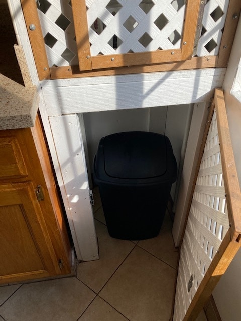
trash
-
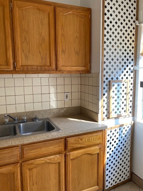
kitchen
-
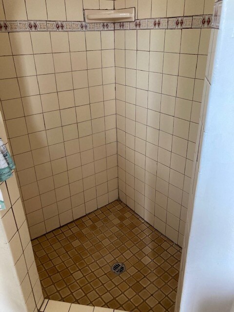
shower
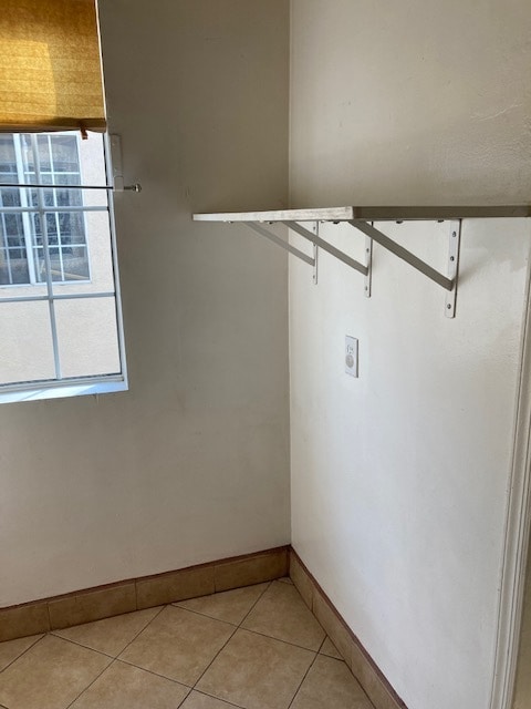
-
-
kitchen hood
-
kitchen
-
tile floors
-
main entrance view inside
What Are Walk Score®, Transit Score®, and Bike Score® Ratings?
Walk Score® measures the walkability of any address. Transit Score® measures access to public transit. Bike Score® measures the bikeability of any address.
What is a Sound Score Rating?
A Sound Score Rating aggregates noise caused by vehicle traffic, airplane traffic and local sources.
6335 Gifford Ave
Bell, CA 90201