

3 Beds
$1,814+
4 Beds
$2,014+
Total Monthly Price
Total Monthly Price
New
Prices include required monthly fees of $115.
Base Rent:
3 Beds
$1,699+
4 Beds
$1,899+
2 Months Free
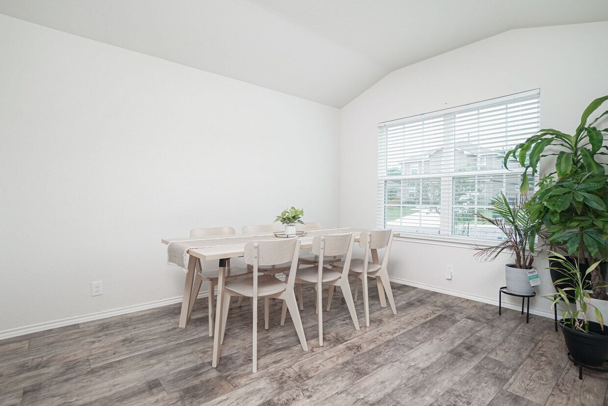
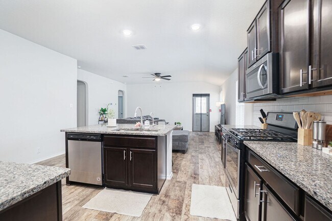
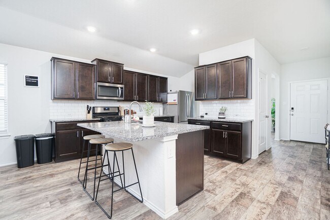
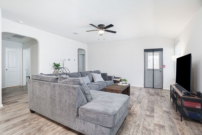
Pets Allowed Pool Dishwasher Walk-In Closets Stainless Steel Appliances Online Services Playground