
$1,300
/ Month
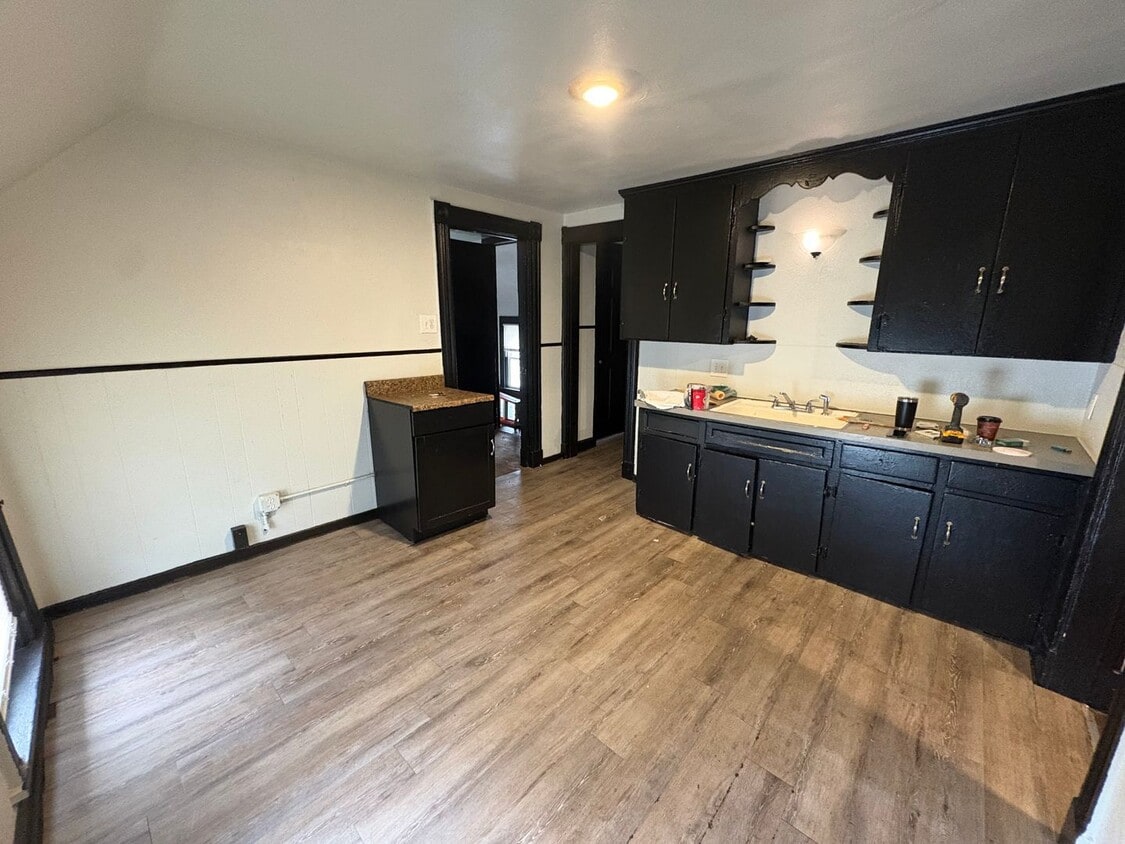
629 Jay St Unit 629 Jay St. Up
Rochester, NY 14611
Today
|
Edit
Favorites
585-544-5649
-
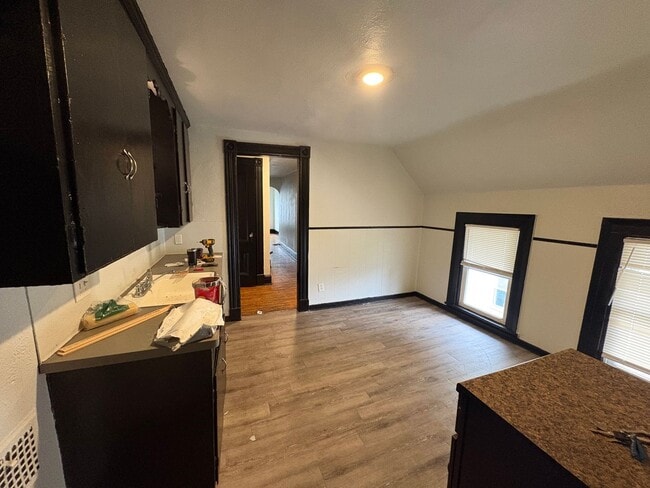
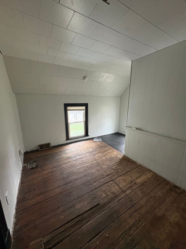
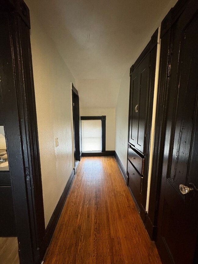
Bedrooms
3
-
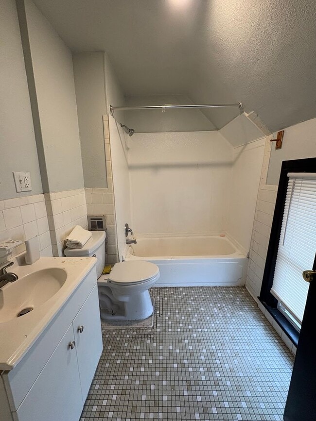
Bathrooms
1
-
Square Feet
1,193 sq ft
-
Available
Available Apr 20
629 Jay St Unit 629 Jay St. Up

Favorites
Contact
- Listed by Lighthouse Management, LLC | Lighthouse Management, LLC
- Phone Number
- Contact
Location
Get Directions
On the west side of Rochester set into the nook of Interstate 390 and 490, Lyell-Otis is a prime suburban spot for Rochester residents looking to stay close to the city but who want a bit more space and quiet. Lyell-Otis’ western border is formed partly by the interstate and partly by the Erie Canal. The neighborhood holds affordable, low-rise apartments and classic mill-style houses. The heart of Rochester is just 10 minutes away, meaning residents can access the sites and bites of downtown easily. Living in Lyell-Otis presents renters will a small, close-knit community with access to good schools and well-maintained parks. Lyell Avenue holds most of the area’s restaurants and shops, while Lexington Avenue connects to the Genesee River and Maple Park.
Learn more about living in Lyell-Otis
Education
| Colleges & Universities | Distance | ||
|---|---|---|---|
| Colleges & Universities | Distance | ||
| Drive: | 3 min | 1.8 mi | |
| Drive: | 4 min | 2.1 mi | |
| Drive: | 4 min | 2.4 mi | |
| Drive: | 7 min | 3.4 mi |
629 Jay St Unit 629 Jay St. Up is within 3 minutes or 1.8 miles from Monroe C.C., Damon City Campus. It is also near Univ. of Rochester, Eastman and Univ. of Rochester, Mt. Hope.
Getting Around
 What do Walkability, Transit, Drivability, and Bikeability mean?
Walkability measures the walking distance to day-to-day needs.
Transit measures access to public transportation.
Drivability measures congestion, parking availability, and access to major roads.
Bikeability measures the suitability for cycling.
How It Works
What do Walkability, Transit, Drivability, and Bikeability mean?
Walkability measures the walking distance to day-to-day needs.
Transit measures access to public transportation.
Drivability measures congestion, parking availability, and access to major roads.
Bikeability measures the suitability for cycling.
How It Works
Moderately Walkable
Walkability
60
/ 100
Some Public Transit
Transit
50
/ 100
Exceptionally Drivable
Drivability
90
/ 100
Moderately Bikeable
Bikeability
60
/ 100
Scores provided by
Active
Soundscore™
70
/ 100
Traffic
BusyAirport
ActiveBusinesses
ActiveScores provided by
HowLoud What is a Sound Score Rating? A Sound Score Rating aggregates noise caused by vehicle traffic, airplane traffic and local sources. How It WorksYou May Also Like
-
Genesee Pointe Apartments
1000 East Genesee Pointe Dr
West Henrietta, NY 14586
$2,680 - $3,124
3 Br 9.1 mi
-
Union Square Apartment Homes
6 Goldenroot Lane
North Chili, NY 14514
$2,300 - $4,595
3 Br 9.2 mi
-
Waverlywood Apartments and Townhomes
77 Deerhurst Ln
Webster, NY 14580
Call for Rent
3 Br 9.5 mi
Similar Rentals Nearby


What Are Walk Score®, Transit Score®, and Bike Score® Ratings?
Walk Score® measures the walkability of any address. Transit Score® measures access to public transit. Bike Score® measures the bikeability of any address.
What is a Sound Score Rating?
A Sound Score Rating aggregates noise caused by vehicle traffic, airplane traffic and local sources.
629 Jay St
Rochester, NY 14611