

4 Beds, 3 Baths, 2,423 sq ft
$2,100
Total Monthly Price
12 Month Lease
Total Monthly Price
New
Prices include all required monthly fees.
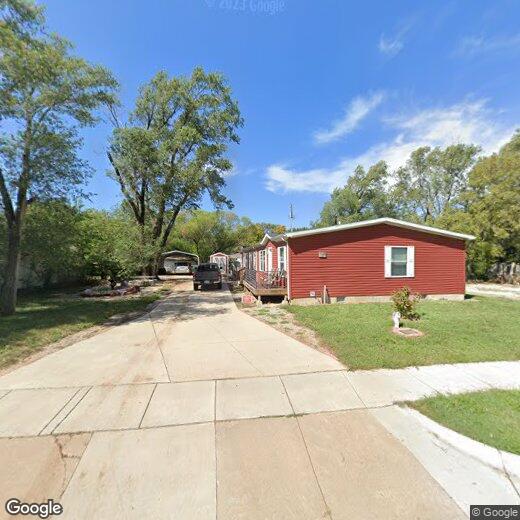
12809 E Zimmerly St


