

$544
/ Month
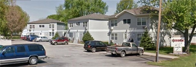
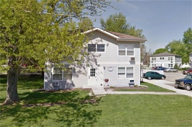
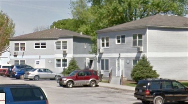
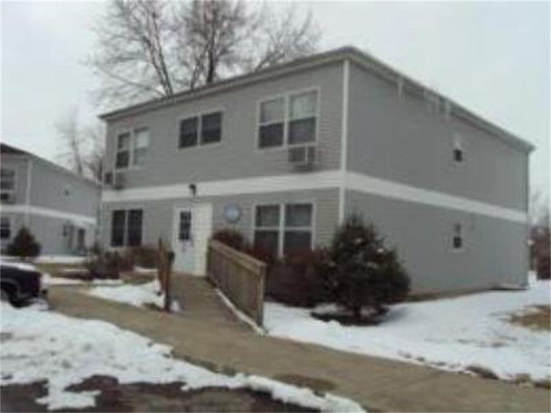
611 N Dye St
Virden, IL 62690
2 Weeks Ago
Favorites
611 N Dye St

Favorites
Check Back Soon for Upcoming Availability
| Beds | Baths | Average SF |
|---|---|---|
| 1 Bedroom 1 Bedroom 1 Br | 1 Bath 1 Bath 1 Ba | — |
Fees and Policies
The fees below are based on community-supplied data and may exclude additional fees and utilities.
- Parking
-
Garage--
-
Other--
611 N Dye St is an apartment community located in Macoupin County and the 62690 ZIP Code.
Features
Refrigerator
Range
Carpet
Cable Ready
- Cable Ready
- Wheelchair Accessible (Rooms)
- Range
- Refrigerator
- Carpet
Location
Get Directions
Amenities
- Cable Ready
- Wheelchair Accessible (Rooms)
- Range
- Refrigerator
- Carpet
Education
| Colleges & Universities | Distance | ||
|---|---|---|---|
| Colleges & Universities | Distance | ||
| Drive: | 35 min | 22.8 mi | |
| Drive: | 34 min | 22.9 mi |
611 N Dye St is within 35 minutes or 22.8 miles from Lincoln Land Community College. It is also near Univ. of Ill. at Springfield.
You May Also Like
Similar Rentals Nearby


What Are Walk Score®, Transit Score®, and Bike Score® Ratings?
Walk Score® measures the walkability of any address. Transit Score® measures access to public transit. Bike Score® measures the bikeability of any address.
What is a Sound Score Rating?
A Sound Score Rating aggregates noise caused by vehicle traffic, airplane traffic and local sources
611 N Dye St
Virden, IL 62690