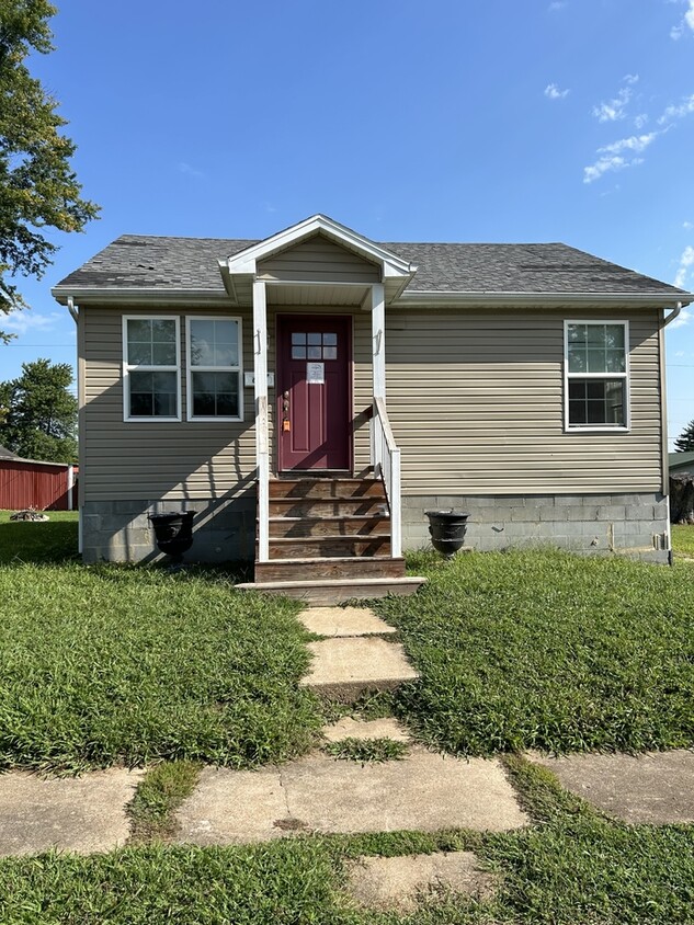
609 E Cherry Ave
Owensville, MO 65066

Check Back Soon for Upcoming Availability
| Beds | Baths | Average SF |
|---|---|---|
| 3 Bedrooms 3 Bedrooms 3 Br | 2 Baths 2 Baths 2 Ba | — |
About This Property
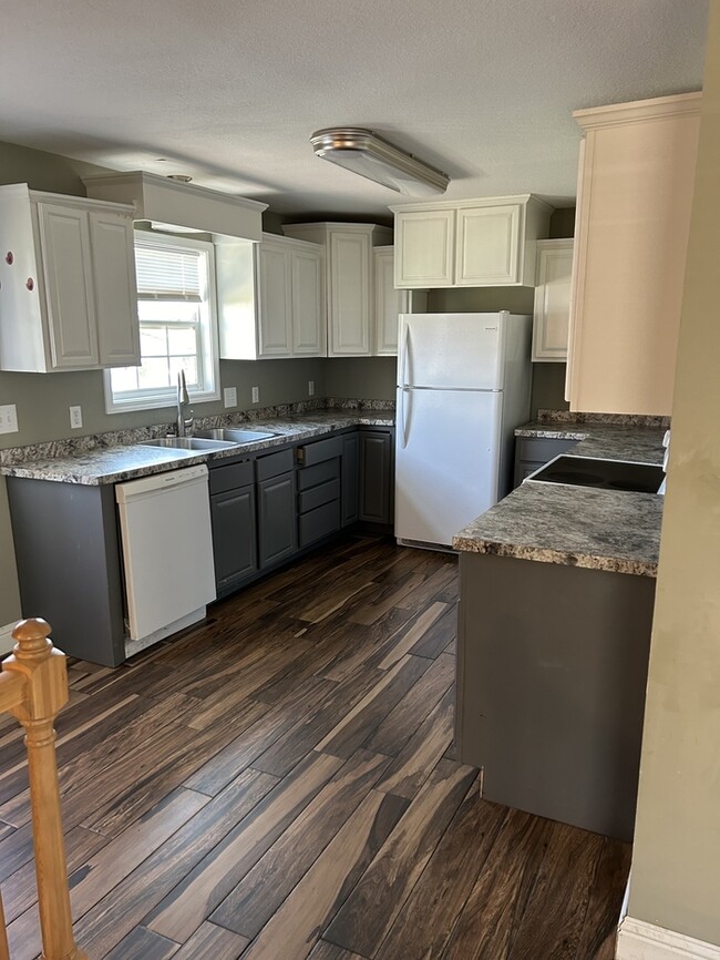
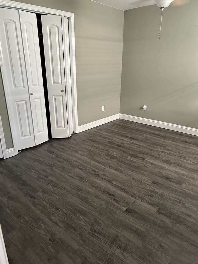
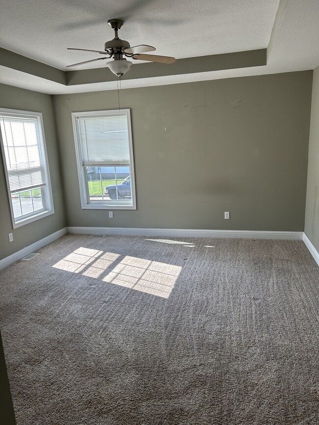
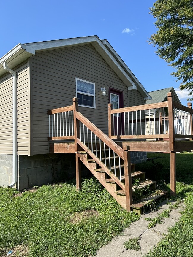
3 bedroom 2 bathroom Home for Rent in the Heart of Owensville! Do NOT wire or transfer any funds electronically as you will meet with a member of Cathlee's Real Estate at our local office for lease signing. To submit an application go to $30 non-refundable Application Fee Single Family home This property allows self guided viewing without an appointment. Contact for details.
609 E Cherry Ave is a house located in Gasconade County and the 65066 ZIP Code. This area is served by the Gasconade County R-I School District attendance zone.
| Colleges & Universities | Distance | ||
|---|---|---|---|
| Colleges & Universities | Distance | ||
| Drive: | 61 min | 40.6 mi |


View GreatSchools Rating Methodology
Data provided by GreatSchools.org © 2026. All rights reserved.
Walkability Near 609 E Cherry Ave Owensville, MO 65066
Scores provided by
Traffic
-Airport
-Businesses
-Scores provided by
HowLoud What is a Sound Score Rating? A Sound Score Rating aggregates noise caused by vehicle traffic, airplane traffic and local sources. How It WorksWhat Are Walk Score®, Transit Score®, and Bike Score® Ratings?
Walk Score® measures the walkability of any address. Transit Score® measures access to public transit. Bike Score® measures the bikeability of any address.
What is a Sound Score Rating?
A Sound Score Rating aggregates noise caused by vehicle traffic, airplane traffic and local sources.

609 E Cherry Ave
Owensville, MO 65066