
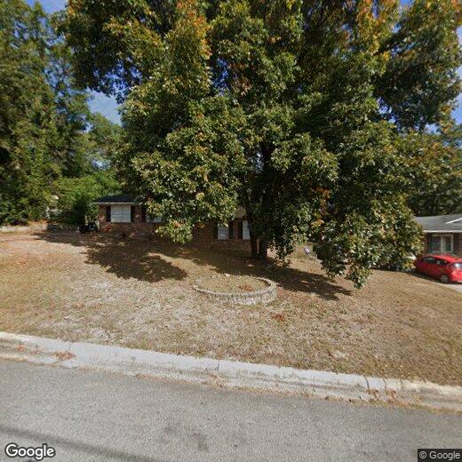
603 McKenzie St
603 McKenzie St
North Augusta, SC 29841
Favorites
603 McKenzie St

Favorites
Check Back Soon for Upcoming Availability
| Beds | Baths | Average SF |
|---|---|---|
| 4 Bedrooms 4 Bedrooms 4 Br | 3 Baths 3 Baths 3 Ba | — |
603 McKenzie St,
North Augusta,
SC
29841
North Augusta sits on the north bank of the Savannah River, just across the state line from Augusta, Georgia, making it part of the broader Central Savannah River Area metro. The city carries a distinctly suburban character while staying closely tied to a major regional economic and cultural center. Fort Eisenhower, located just minutes away, anchors a significant portion of local employment, alongside healthcare, manufacturing, and retail sectors that serve both cities. Founded in 1906, North Augusta earned the nickname "South Carolina's Riverfront," and that identity still shapes how residents experience everyday life here.
The city spans roughly 21 square miles and holds several distinct pockets worth knowing. Hammond's Ferry offers newer housing near The Greeneway Trail, a well-used biking and walking corridor along the river. Downtown North Augusta keeps things walkable near local shops and services, while quieter residential streets fan out through the broader city.
Learn more about living in North Augusta
Education
| Colleges & Universities | Distance | ||
|---|---|---|---|
| Colleges & Universities | Distance | ||
| Drive: | 10 min | 4.4 mi | |
| Drive: | 10 min | 4.5 mi | |
| Drive: | 10 min | 4.6 mi | |
| Drive: | 10 min | 5.0 mi |
603 McKenzie St is within 10 minutes or 4.4 miles from Medical College of Georgia. It is also near Augusta University and Dental College of Georgia.
Walkability Near 603 McKenzie St North Augusta, SC 29841
Getting Around
 What do Walkability, Transit, Drivability, and Bikeability mean?
Walkability measures the walking distance to day-to-day needs.
Transit measures access to public transportation.
Drivability measures congestion, parking availability, and access to major roads.
Bikeability measures the suitability for cycling.
How It Works
What do Walkability, Transit, Drivability, and Bikeability mean?
Walkability measures the walking distance to day-to-day needs.
Transit measures access to public transportation.
Drivability measures congestion, parking availability, and access to major roads.
Bikeability measures the suitability for cycling.
How It Works
Fairly Walkable
Walkability
40
/ 100
Exceptionally Drivable
Drivability
100
/ 100
Somewhat Bikeable
Bikeability
30
/ 100
Scores provided by
-
Soundscore™
-
/ 100
Traffic
-Airport
-Businesses
-Scores provided by
HowLoud What is a Sound Score Rating? A Sound Score Rating aggregates noise caused by vehicle traffic, airplane traffic and local sources. How It WorksYou May Also Like
Similar Rentals Nearby


What Are Walk Score®, Transit Score®, and Bike Score® Ratings?
Walk Score® measures the walkability of any address. Transit Score® measures access to public transit. Bike Score® measures the bikeability of any address.
What is a Sound Score Rating?
A Sound Score Rating aggregates noise caused by vehicle traffic, airplane traffic and local sources.
603 McKenzie St
North Augusta, SC 29841