
$1,350
/ Month
600 W Walnut St Unit 2
Perkasie, PA 18944
Favorites
600 W Walnut St Unit 2

Favorites
Check Back Soon for Upcoming Availability
| Beds | Baths | Average SF |
|---|---|---|
| 2 Bedrooms 2 Bedrooms 2 Br | 1 Bath 1 Bath 1 Ba | 3,149 SF |
About This Property
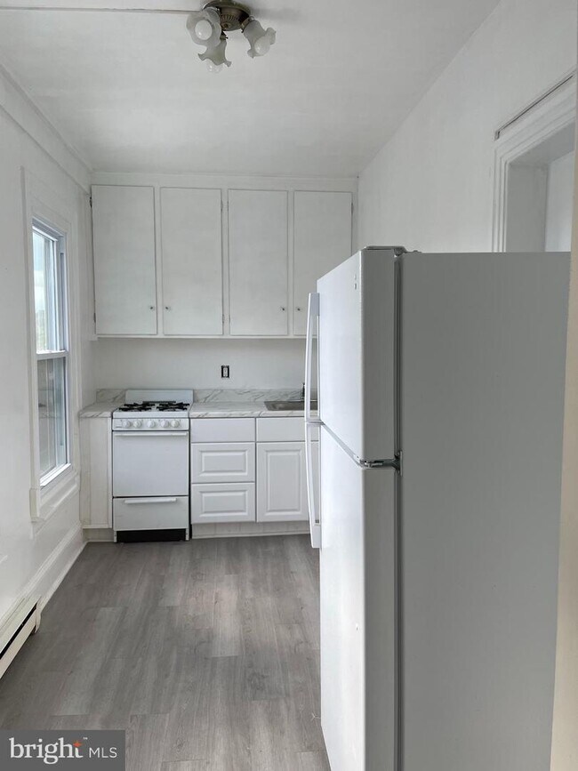
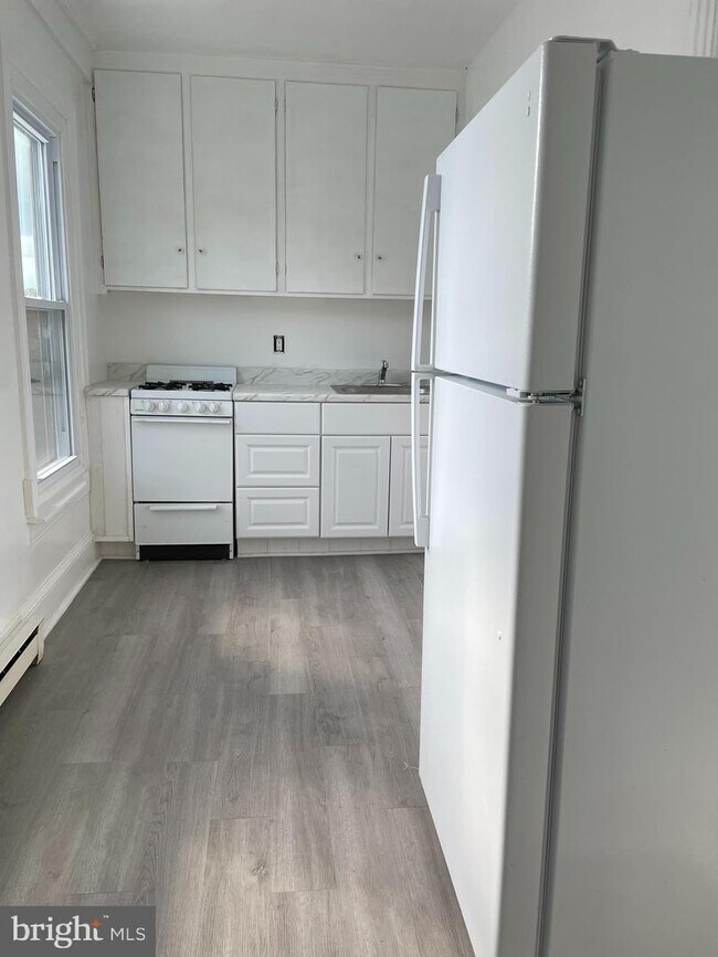
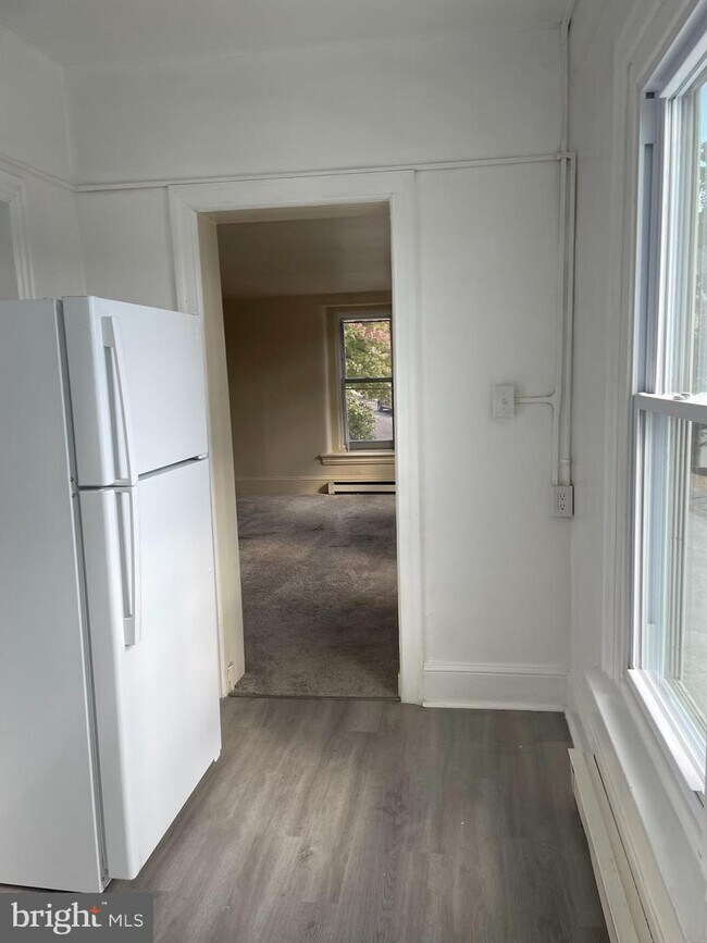
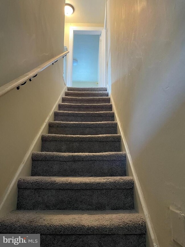
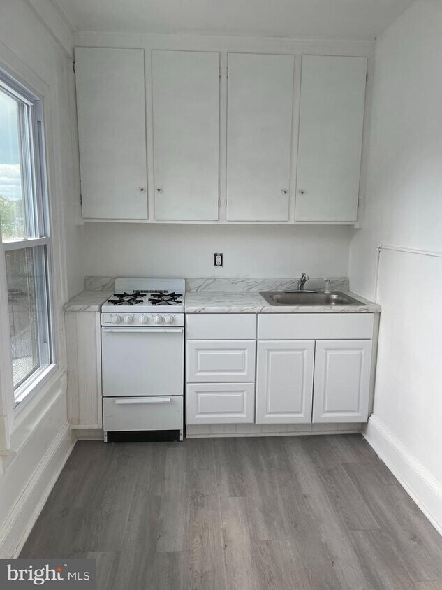
Are you looking for a 2 bedroom Apartment in the heart of Perkasie? This second floor unit is freshly painted, new kitchen and bathroom floors and has new windows! The apartment includes a nice sized living room, a full bath, a primary bedroom and the 2nd bedroom can be used as a bedroom or an office depending on your needs. Hurry in and take a peek at this awesome rental waiting for you! Centrally located to shops, restaurants, Lenape Park and community pool, and easy walking through town. Call now! No Pets are permitted.
600 W Walnut St is an apartment community located in Bucks County and the 18944 ZIP Code.
600 W Walnut St,
Perkasie,
PA
18944
Education
| Colleges & Universities | Distance | ||
|---|---|---|---|
| Colleges & Universities | Distance | ||
| Drive: | 20 min | 10.0 mi | |
| Drive: | 27 min | 13.6 mi | |
| Drive: | 29 min | 15.3 mi | |
| Drive: | 30 min | 16.5 mi |
600 W Walnut St Unit 2 is within 20 minutes or 10.0 miles from Delaware Valley College. It is also near Gwynedd Mercy College and Montgomery Co. C.C., Central.
Walkability Near 600 W Walnut St Perkasie, PA 18944
Getting Around
 What do Walkability, Transit, Drivability, and Bikeability mean?
Walkability measures the walking distance to day-to-day needs.
Transit measures access to public transportation.
Drivability measures congestion, parking availability, and access to major roads.
Bikeability measures the suitability for cycling.
How It Works
What do Walkability, Transit, Drivability, and Bikeability mean?
Walkability measures the walking distance to day-to-day needs.
Transit measures access to public transportation.
Drivability measures congestion, parking availability, and access to major roads.
Bikeability measures the suitability for cycling.
How It Works
Somewhat Walkable
Walkability
30
/ 100
Minimal Public Transit
Transit
0
/ 100
Exceptionally Drivable
Drivability
100
/ 100
Somewhat Bikeable
Bikeability
30
/ 100
Scores provided by
-
Soundscore™
-
/ 100
Traffic
-Airport
-Businesses
-Scores provided by
HowLoud What is a Sound Score Rating? A Sound Score Rating aggregates noise caused by vehicle traffic, airplane traffic and local sources. How It WorksYou May Also Like
Similar Rentals Nearby
-
-
-
-
-
-
1 / 36

-
-
-
2 Beds$1,799+Total Monthly Price12 Month LeaseTotal Monthly Price NewPrices include all required monthly fees.Discounts
Pets Allowed Pool In Unit Washer & Dryer Clubhouse Stainless Steel Appliances Laundry Facilities Tennis Court
-


What Are Walk Score®, Transit Score®, and Bike Score® Ratings?
Walk Score® measures the walkability of any address. Transit Score® measures access to public transit. Bike Score® measures the bikeability of any address.
What is a Sound Score Rating?
A Sound Score Rating aggregates noise caused by vehicle traffic, airplane traffic and local sources.
600 W Walnut St
Perkasie, PA 18944