
$550
Total Monthly Price
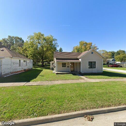
600 S Cherry St
Creston, IA 50801
2 Weeks Ago
|
Edit
Favorites
600 S Cherry St

Favorites
Check Back Soon for Upcoming Availability
| Beds | Baths | Average SF |
|---|---|---|
| 2 Bedrooms 2 Bedrooms 2 Br | 1 Bath 1 Bath 1 Ba | — |
Fees and Policies
The fees listed below are community-provided and may exclude utilities or add-ons. All payments are made directly to the property and are non-refundable unless otherwise specified.
- Parking
-
Garage--
About This Property
Small home, two bed one bath with attached garage, large back yard. Washer/dryer, stove and refrigerator.
600 S Cherry St is a house located in Union County and the 50801 ZIP Code.
House Features
- Washer/Dryer
- Refrigerator
- Yard
600 S Cherry St,
Creston,
IA
50801
The city of Creston was settled in 1868 by a group of railroad surveyors who camped there as part of the Burlington and Missouri Railroad. The campsite was nestled on the crest of the rail line that ran between the Missouri and Mississippi Rivers, giving the city its name and official inception in 1871.
When it comes to traveling, residents have options. Route 34 runs directly through town, linking up to I-34 which takes you to Des Moines or I-29 to Omaha. Creston is a very walkable community with 5.25 square miles. Residents here enjoy spending time at McKinley Lake, where they can camp, fish, or walk the many trails.
As for education, Creston students are served by the Creston Community School District. Though, there are some private schools as well. Buena Vista University’s satellite campus and Southwestern Community College are located in Creston.
Learn more about living in Creston
Amenities
- Washer/Dryer
- Refrigerator
- Yard
Walkability Near 600 S Cherry St Creston, IA 50801
Getting Around
 What do Walkability, Transit, Drivability, and Bikeability mean?
Walkability measures the walking distance to day-to-day needs.
Transit measures access to public transportation.
Drivability measures congestion, parking availability, and access to major roads.
Bikeability measures the suitability for cycling.
How It Works
What do Walkability, Transit, Drivability, and Bikeability mean?
Walkability measures the walking distance to day-to-day needs.
Transit measures access to public transportation.
Drivability measures congestion, parking availability, and access to major roads.
Bikeability measures the suitability for cycling.
How It Works
Somewhat Walkable
Walkability
30
/ 100
Exceptionally Drivable
Drivability
100
/ 100
Somewhat Bikeable
Bikeability
30
/ 100
Scores provided by
-
Soundscore™
-
/ 100
Traffic
-Airport
-Businesses
-Scores provided by
HowLoud What is a Sound Score Rating? A Sound Score Rating aggregates noise caused by vehicle traffic, airplane traffic and local sources. How It WorksSimilar Rentals Nearby
What Are Walk Score®, Transit Score®, and Bike Score® Ratings?
Walk Score® measures the walkability of any address. Transit Score® measures access to public transit. Bike Score® measures the bikeability of any address.
What is a Sound Score Rating?
A Sound Score Rating aggregates noise caused by vehicle traffic, airplane traffic and local sources.

600 S Cherry St
Creston, IA 50801