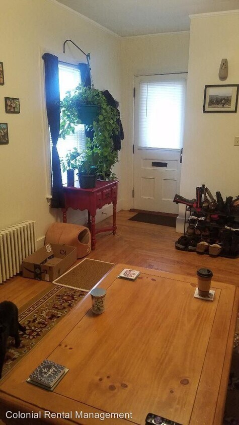
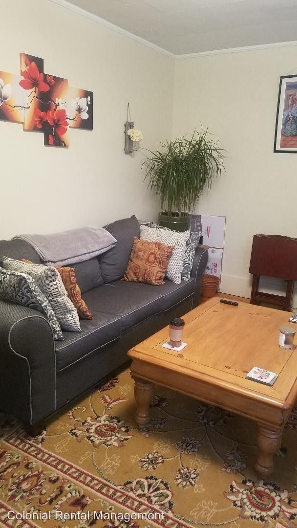
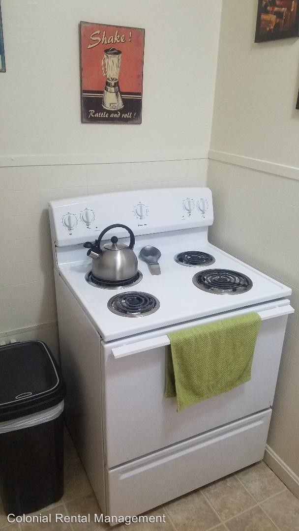
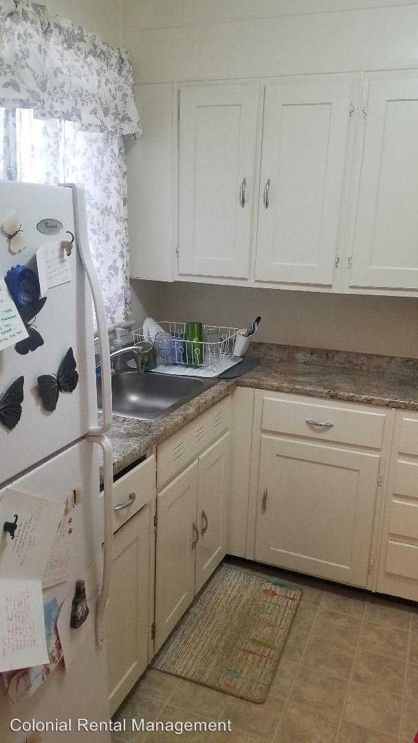


3 Beds, 1 Bath, 1,200 sq ft
$1,900
Total Monthly Price
12 Month Lease
Total Monthly Price
New
Prices include all required monthly fees.
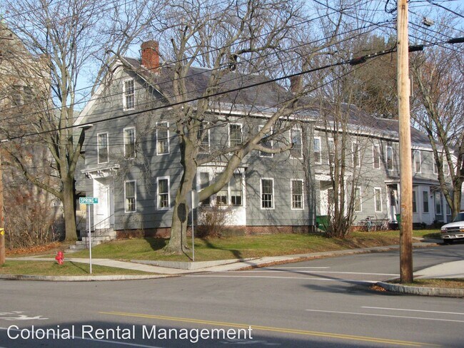
35 Page Street


