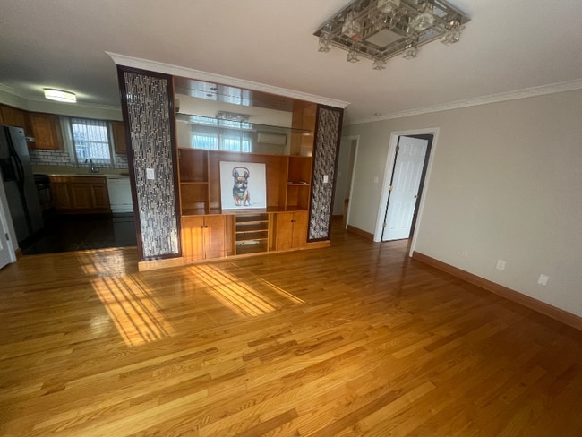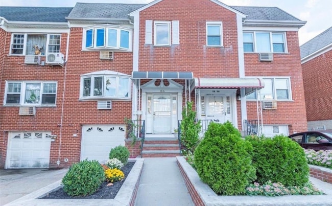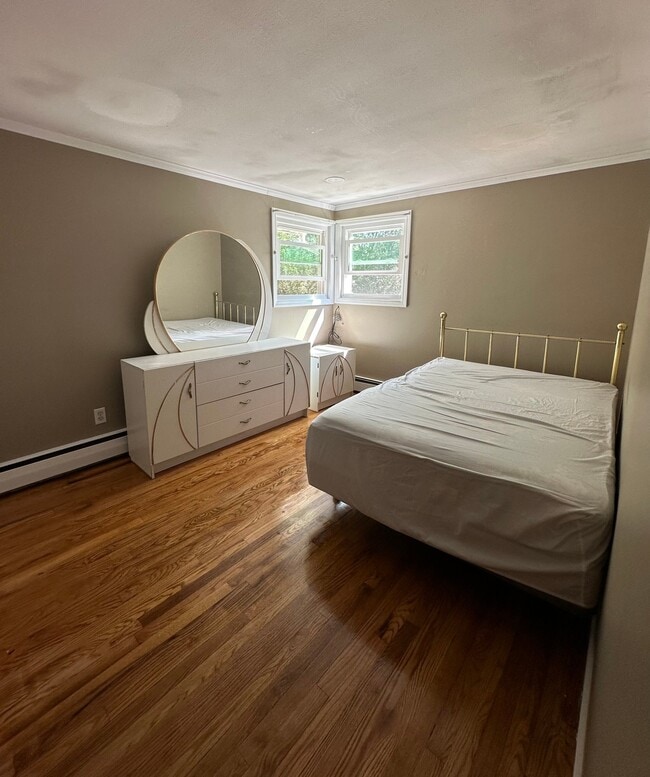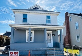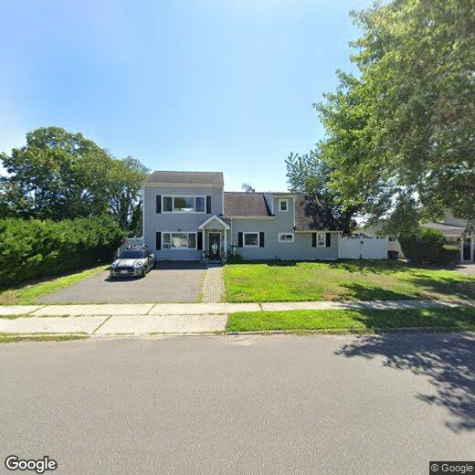

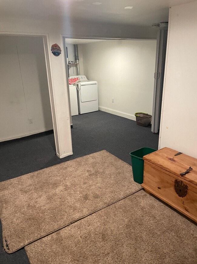
6 Regal Ln

6 Regal Ln

,

Levittown, NY 11756

Share Listing
Favorites
6 Regal Ln
Share Listing
Favorites

Check Back Soon for Upcoming Availability

Beds Baths Average SF
1 Bedroom 1 Bedroom 1 Br 1 Bath 1 Bath 1 Ba
Location
6 Regal Ln, Levittown,
NY 11756
Get Directions
| Edit

Under 30 minutes

Commute Time is calculated at rush hour.
City - Levittown

Levittown sits at the center of Nassau County on Long Island as one of America's most historically significant planned communities, built between 1947 and 1951 by the firm Levitt and Sons to house returning World War II veterans. What began as a bold experiment in mass-produced housing became the blueprint for post-war suburban development across the country, and that sense of purposeful design still shapes how the community feels today. Compact at about seven square miles, it sits roughly halfway between Farmingdale and Hempstead, putting residents within easy reach of Roosevelt Field Mall, Bethpage State Park, and the Nassau Veterans Memorial Coliseum.

Residential streets branch off from the Hempstead-Bethpage Turnpike corridor, offering a quieter pace behind the commercial activity that lines the main road.

Learn more about living in Levittown 
Education
Colleges & Universities Distance
Drive: 13 min 5.5 mi
Drive: 13 min 7.2 mi
Drive: 16 min 7.7 mi
Drive: 16 min 8.6 mi
6 Regal Ln is within 13 minutes or 5.5 miles from Farmingdale State College. It is also near Hofstra University and SUNY Nassau Community College.
Transportation

6 Regal Ln is near John F Kennedy International, located 20.6 miles or 30 minutes away, and LaGuardia, located 27.6 miles or 41 minutes away.

Commuter Rail Distance
Drive: 6 min 3.3 mi
Drive: 6 min 3.5 mi
Drive: 6 min 3.8 mi
Drive: 7 min 4.4 mi
Drive: 12 min 4.6 mi
Airports Distance
Airports Distance
John F Kennedy International
Drive: 30 min 20.6 mi
LaGuardia
Drive: 41 min 27.6 mi

Walkability Near 6 Regal Ln Levittown, NY 11756

Getting Around
Fairly Walkable
Walkability
50 / 100
Limited Public Transit
Transit
20 / 100
Exceptionally Drivable
Drivability
90 / 100
Fairly Bikeable
Bikeability
50 / 100

Scores provided by

What do Walkability, Transit, Drivability, and Bikeability mean? Walkability measures the walking distance to day-to-day needs. Transit measures access to public transportation. Drivability measures congestion, parking availability, and access to major roads. Bikeability measures the suitability for cycling. How It Works
-
Soundscore
- / 100

Traffic

-

Airport

-

Businesses

-

Scores provided by

HowLoud What is a Sound Score Rating? A Sound Score Rating aggregates noise caused by vehicle traffic, airplane traffic and local sources. How It Works
Points of Interest

Time and distance from 6 Regal Ln.

Shopping Centers Distance
Walk: 10 min 0.6 mi
Drive: 2 min 1.2 mi
Drive: 3 min 1.4 mi
6 Regal Ln has 3 shopping centers within 1.4 miles, which is about a 3-minute drive. The miles and minutes will be for the farthest away property.
Parks and Recreation Distance
Bethpage State Park
Drive: 6 min 3.5 mi
Tackapausha Museum & Preserve
Drive: 6 min 3.9 mi
Hofstra University Arboretum
Drive: 13 min 7.1 mi
Long Island Children's Museum
Drive: 16 min 7.7 mi
Trail View State Park
Drive: 13 min 9.2 mi
6 Regal Ln has 5 parks within 9.2 miles, including Bethpage State Park, Tackapausha Museum & Preserve, and Hofstra University Arboretum.
Hospitals Distance
Hospitals Distance
Drive: 4 min 1.8 mi
Drive: 8 min 4.7 mi
Drive: 8 min 5.6 mi
6 Regal Ln has 3 hospitals within 5.6 miles, the nearest is CHSLI St. Joseph Hospital which is 1.8 miles away and a 4 minute drive.
Military Bases Distance
Drive: 33 min 21.8 mi
Drive: 49 min 25.8 mi
Drive: 52 min 30.9 mi
6 Regal Ln has 3 military bases within 30.9 miles, the nearest is Fort Totten US Govt Reservation which is 21.8 miles away and a 33 minute drive.

You May Also Like

Similar Rentals Nearby