
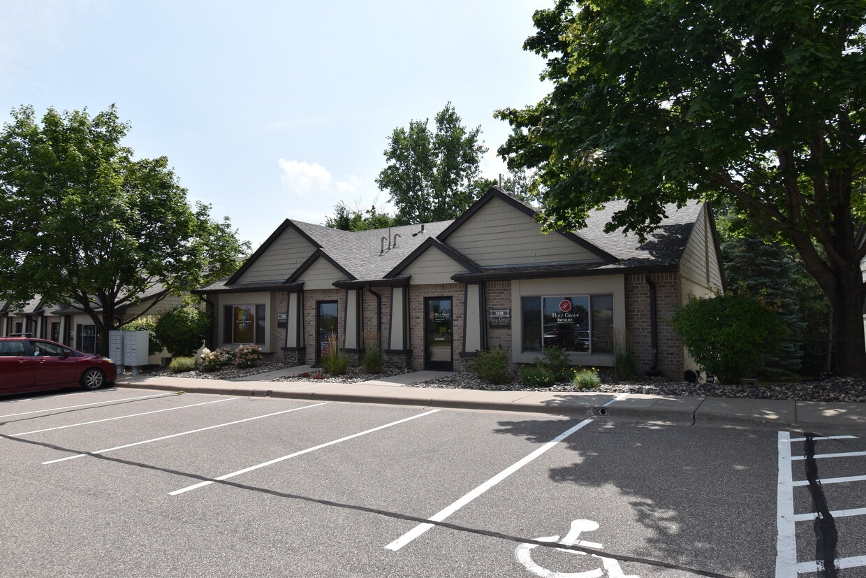
5814 Blackshire Path
Inver Grove Heights, MN 55076
-
Bedrooms
Studio
-
Bathrooms
1
-
Square Feet
1,400 sq ft
-
Available
Available Now

Just off the eastern bank of the Mississippi River, Inver Grove Heights, Minnesota has all the natural beauty expected from the state known for its grassy rolling plains. South of the Twin Cities, Inver Grove Heights is a suburb of Saint Paul. This residential city provides easy access to the surrounding areas thanks to the highway that runs through the city, Highway 52.
Residents of this quiet town enjoy several events and volunteer opportunities that keeps people of Inver Grove Heights connected. There are also many local parks and a community center that provides the community with a variety of recreation opportunities and programs. The new development within the area makes Inver Grove a city with a pleasant mix of both old and new.
Learn more about living in Inver Grove Heights| Colleges & Universities | Distance | ||
|---|---|---|---|
| Colleges & Universities | Distance | ||
| Drive: | 8 min | 2.7 mi | |
| Drive: | 15 min | 7.8 mi | |
| Drive: | 13 min | 7.9 mi | |
| Drive: | 14 min | 8.4 mi |
Transportation options available in Inver Grove Heights include Central Station, located 7.2 miles from 5814 Blackshire Path. 5814 Blackshire Path is near Minneapolis-St Paul International/Wold-Chamberlain, located 11.0 miles or 19 minutes away.
| Transit / Subway | Distance | ||
|---|---|---|---|
| Transit / Subway | Distance | ||
| Drive: | 12 min | 7.2 mi | |
| Drive: | 12 min | 7.3 mi | |
| Drive: | 12 min | 7.5 mi | |
| Drive: | 13 min | 7.7 mi | |
| Drive: | 13 min | 7.9 mi |
| Commuter Rail | Distance | ||
|---|---|---|---|
| Commuter Rail | Distance | ||
|
|
Drive: | 12 min | 7.5 mi |
|
|
Drive: | 30 min | 18.1 mi |
|
|
Drive: | 33 min | 24.0 mi |
|
|
Drive: | 43 min | 32.1 mi |
|
|
Drive: | 45 min | 33.8 mi |
| Airports | Distance | ||
|---|---|---|---|
| Airports | Distance | ||
|
Minneapolis-St Paul International/Wold-Chamberlain
|
Drive: | 19 min | 11.0 mi |
Time and distance from 5814 Blackshire Path.
| Shopping Centers | Distance | ||
|---|---|---|---|
| Shopping Centers | Distance | ||
| Walk: | 6 min | 0.3 mi | |
| Walk: | 15 min | 0.8 mi | |
| Drive: | 3 min | 1.3 mi |
| Parks and Recreation | Distance | ||
|---|---|---|---|
| Parks and Recreation | Distance | ||
|
Dodge Nature Center
|
Drive: | 9 min | 4.5 mi |
|
Cherokee Regional Park
|
Drive: | 14 min | 7.4 mi |
|
Science Museum of Minnesota
|
Drive: | 13 min | 8.1 mi |
|
Highland Park and Golf Course
|
Drive: | 14 min | 8.2 mi |
|
Indian Mounds Park
|
Drive: | 14 min | 9.3 mi |
| Hospitals | Distance | ||
|---|---|---|---|
| Hospitals | Distance | ||
| Drive: | 13 min | 7.8 mi | |
| Drive: | 13 min | 8.1 mi | |
| Drive: | 14 min | 8.2 mi |
| Military Bases | Distance | ||
|---|---|---|---|
| Military Bases | Distance | ||
| Drive: | 17 min | 9.8 mi |
5814 Blackshire Path Photos
What Are Walk Score®, Transit Score®, and Bike Score® Ratings?
Walk Score® measures the walkability of any address. Transit Score® measures access to public transit. Bike Score® measures the bikeability of any address.
What is a Sound Score Rating?
A Sound Score Rating aggregates noise caused by vehicle traffic, airplane traffic and local sources
5814 Blackshire Path
Inver Grove Heights, MN 55076