


$15,000 / Month
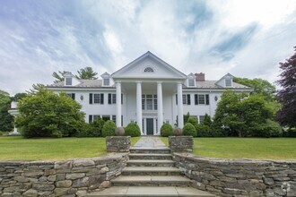
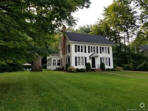
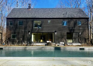
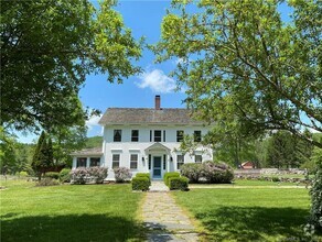
58 Mt Hunger Rd
Monterey, MA 01245
2 Weeks Ago
Favorites
58 Mt Hunger Rd

Favorites
Check Back Soon for Upcoming Availability
| Beds | Baths | Average SF |
|---|---|---|
| 3 Bedrooms 3 Bedrooms 3 Br | 3 Baths 3 Baths 3 Ba | — |
Fees and Policies
The fees below are based on community-supplied data and may exclude additional fees and utilities.
About This Property
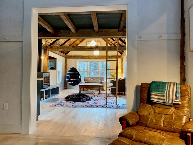
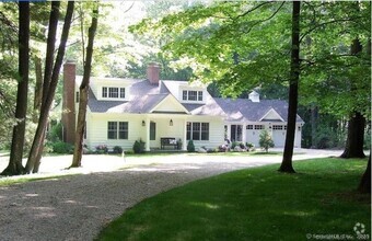
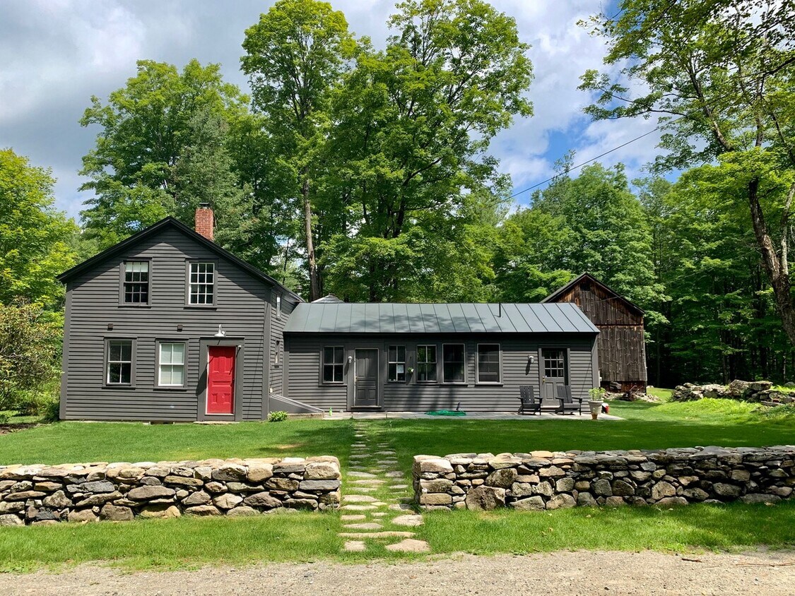
Renovated and hip Antique Farmhouse close to Lake Garfield in Monterey. First floor main bedroom and full bath. Upstairs are three guest bedrooms that share a full bath. Laundry. Stone walls and patios.
58 Mt Hunger Rd is a house located in Berkshire County and the 01245 ZIP Code. This area is served by the Southern Berkshire attendance zone.
House Features
- Air Conditioning
- Hardwood Floors
- Tile Floors
- Package Service
- Laundry Facilities
- Controlled Access
Location
Get Directions
Amenities
- Air Conditioning
- Hardwood Floors
- Tile Floors
- Package Service
- Laundry Facilities
- Controlled Access
Education
| Colleges & Universities | Distance | ||
|---|---|---|---|
| Colleges & Universities | Distance | ||
| Drive: | 39 min | 23.6 mi | |
| Drive: | 60 min | 35.0 mi | |
| Drive: | 69 min | 39.7 mi | |
| Drive: | 70 min | 42.9 mi |
58 Mt Hunger Rd is within 39 minutes or 23.6 miles from Westfield State University. It is also near Holyoke Community College and Smith College.
Schools


Public Elementary, Middle & High School
Attendance Zone
Public Elementary School
Grades PK-5
241 Students
Attendance Zone
Public Elementary School
Grades PK-6
120 Students
Nearby
Public Middle & High School
Grades 6-12
294 Students
Attendance Zone
Private Elementary & Middle School
Grades PK-8
85 Students
Nearby
Private Elementary, Middle & High School
Grades 4-12
64 Students
Nearby
School data provided by
 The GreatSchools Rating helps parents compare schools within a state based on a variety of school quality indicators and provides a helpful picture of how effectively each school serves all of its students. Ratings are on a scale of 1 (below average) to 10 (above average) and can include test scores, college readiness, academic progress, advanced courses, equity, discipline and attendance data. We also advise parents to visit schools, consider other information on school performance and programs, and consider family needs as part of the school selection process.
View GreatSchools Rating Methodology
View GreatSchools Rating Methodology
You May Also Like
Similar Rentals Nearby


What Are Walk Score®, Transit Score®, and Bike Score® Ratings?
Walk Score® measures the walkability of any address. Transit Score® measures access to public transit. Bike Score® measures the bikeability of any address.
What is a Sound Score Rating?
A Sound Score Rating aggregates noise caused by vehicle traffic, airplane traffic and local sources
58 Mt Hunger Rd
Monterey, MA 01245