
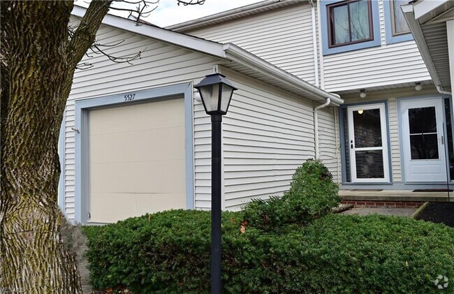
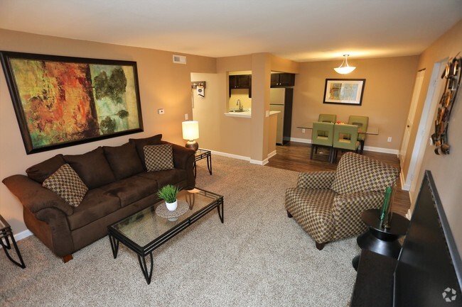
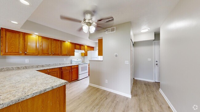
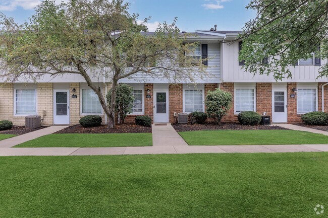
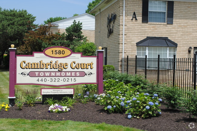
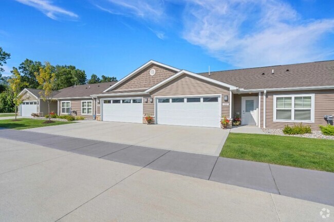
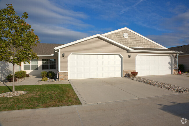
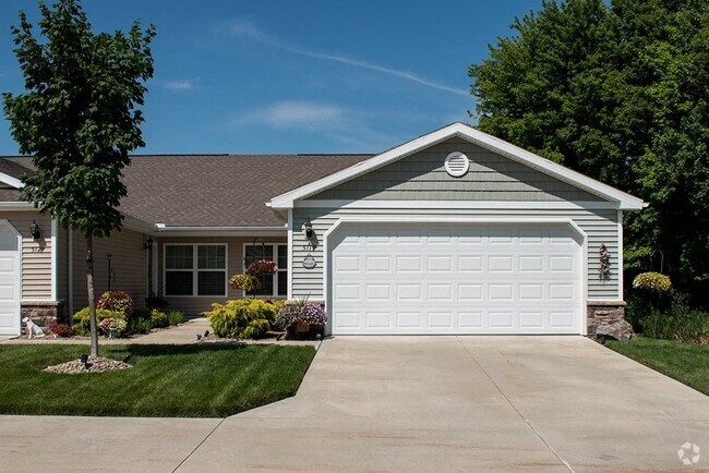
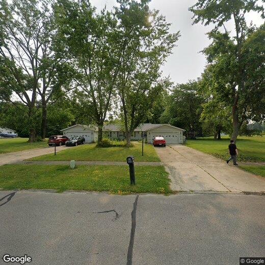
5793 Opal Street
5793 Opal Street
North Ridgeville, OH 44039
2 Weeks Ago
Favorites
5793 Opal Street

Favorites
Check Back Soon for Upcoming Availability
| Beds | Baths | Average SF |
|---|---|---|
| 1 Bedroom 1 Bedroom 1 Br | 1 Bath 1 Bath 1 Ba | — |
Location
Get Directions
North Ridgeville, a quiet community on the far east side of Lorain County, consists of mostly residential neighborhoods. The area offers plenty of entertainment for locals, including one of the last remaining drive-in theaters in the state of Ohio. Bordered by both Elyria and North Olmsted, residents of North Ridgeville have access to all the stores and amenities of a larger city without the crowding. North Ridgeville is very family-orientated with well-developed sports programs, family entertainment venues, and festivals. Interstate 80 and 480 make traveling into Cleveland easy (just an hour away) and exploring the rest of the Lake Erie area simple.
Learn more about living in North Ridgeville
Education
| Colleges & Universities | Distance | ||
|---|---|---|---|
| Colleges & Universities | Distance | ||
| Drive: | 15 min | 6.6 mi | |
| Drive: | 16 min | 7.2 mi | |
| Drive: | 17 min | 7.5 mi | |
| Drive: | 24 min | 10.0 mi |
5793 Opal Street is within 17 minutes or 7.5 miles from Lorain County Comm. Coll.. It is also near Cuyahoga C.C., Westshore and Cuyahoga C.C., West.
Transportation options available in North Ridgeville include Brookpark, located 11.0 miles from 5793 Opal Street. 5793 Opal Street is near Cleveland-Hopkins International, located 10.9 miles or 21 minutes away.
| Transit / Subway | Distance | ||
|---|---|---|---|
| Transit / Subway | Distance | ||
|
|
Drive: | 19 min | 11.0 mi |
|
|
Drive: | 20 min | 11.5 mi |
| Commuter Rail | Distance | ||
|---|---|---|---|
| Commuter Rail | Distance | ||
|
|
Drive: | 14 min | 6.2 mi |
| Drive: | 36 min | 23.0 mi | |
|
|
Drive: | 40 min | 23.9 mi |
| Drive: | 38 min | 24.5 mi | |
| Drive: | 42 min | 30.3 mi |
| Airports | Distance | ||
|---|---|---|---|
| Airports | Distance | ||
|
Cleveland-Hopkins International
|
Drive: | 21 min | 10.9 mi |
Time and distance from 5793 Opal Street.
| Shopping Centers | Distance | ||
|---|---|---|---|
| Shopping Centers | Distance | ||
| Walk: | 11 min | 0.6 mi | |
| Walk: | 11 min | 0.6 mi | |
| Walk: | 17 min | 0.9 mi |
5793 Opal Street has 3 shopping centers within 0.9 mile, which is about a 17-minute walk. The miles and minutes will be for the farthest away property.
| Parks and Recreation | Distance | ||
|---|---|---|---|
| Parks and Recreation | Distance | ||
|
Bradley Woods Reservation
|
Drive: | 8 min | 3.4 mi |
|
Sandy Ridge Reservation
|
Drive: | 10 min | 3.8 mi |
|
Miller Nature Preserve
|
Drive: | 10 min | 4.3 mi |
|
Black River Reservation
|
Drive: | 19 min | 8.6 mi |
|
Rocky River Nature Center
|
Drive: | 18 min | 8.9 mi |
5793 Opal Street has 5 parks within 8.9 miles, including Bradley Woods Reservation, Sandy Ridge Reservation, and Miller Nature Preserve.
| Hospitals | Distance | ||
|---|---|---|---|
| Hospitals | Distance | ||
| Drive: | 10 min | 4.5 mi | |
| Drive: | 14 min | 6.5 mi | |
| Drive: | 24 min | 10.3 mi |
5793 Opal Street has 3 hospitals within 10.3 miles, the nearest is UH St. John Medical Center which is 4.5 miles away and a 10 minute drive.
| Military Bases | Distance | ||
|---|---|---|---|
| Military Bases | Distance | ||
| Drive: | 91 min | 66.1 mi | |
| Drive: | 85 min | 67.7 mi |
5793 Opal Street is 66.1 miles from Mansfield Lahm Airport Air Guard Station, and is convenient to other military bases, including Camp Perry Air Guard Station.
You May Also Like
Similar Rentals Nearby


What Are Walk Score®, Transit Score®, and Bike Score® Ratings?
Walk Score® measures the walkability of any address. Transit Score® measures access to public transit. Bike Score® measures the bikeability of any address.
What is a Sound Score Rating?
A Sound Score Rating aggregates noise caused by vehicle traffic, airplane traffic and local sources
5793 Opal Street
North Ridgeville, OH 44039