
5711 Columbia Way
5711 Columbia Way
Lancaster, CA 93536
2 Weeks Ago
Favorites
5711 Columbia Way

Favorites
Check Back Soon for Upcoming Availability
Location
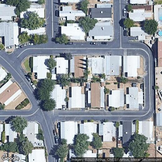
Get Directions
Nestled in the Antelope Valley of the western Mojave Desert, Lancaster is a scenic suburb surrounded by two mountain ranges—the San Gabriel and the Sierra Nevada. Lancaster residents enjoy a broad range of recreational opportunities thanks to the city’s ideal location. Apollo Community Regional Park, Sergeant Steve Owen Memorial Park, and Lancaster National Soccer Center provide plenty of space and top-notch facilities for outdoor activities as well.
Lancaster offers the many modern conveniences of a suburb along with the historic charm of a small town. National retailers and chain restaurants line the Aerospace Highway while Lancaster Boulevard touts a revitalized downtown atmosphere with the Museum of Art and History, Western Hotel Museum, and the Lancaster Performing Arts Center.
Los Angeles is about an hour’s drive from Lancaster, offering an array of world-class amenities and attractions within close reach.
Learn more about living in Lancaster
Education
| Colleges & Universities | Distance | ||
|---|---|---|---|
| Colleges & Universities | Distance | ||
| Drive: | 11 min | 5.3 mi | |
| Drive: | 53 min | 32.1 mi | |
| Drive: | 61 min | 50.5 mi | |
| Drive: | 70 min | 57.9 mi |
5711 Columbia Way is within 11 minutes or 5.3 miles from Antelope Valley College. It is also near College of the Canyons and Mission College.
You May Also Like
Similar Rentals Nearby
-
-

-

-

-
-
-
1 / 26

-

-

-


What Are Walk Score®, Transit Score®, and Bike Score® Ratings?
Walk Score® measures the walkability of any address. Transit Score® measures access to public transit. Bike Score® measures the bikeability of any address.
What is a Sound Score Rating?
A Sound Score Rating aggregates noise caused by vehicle traffic, airplane traffic and local sources