1 / 8


| Beds | Baths | Average SF |
|---|---|---|
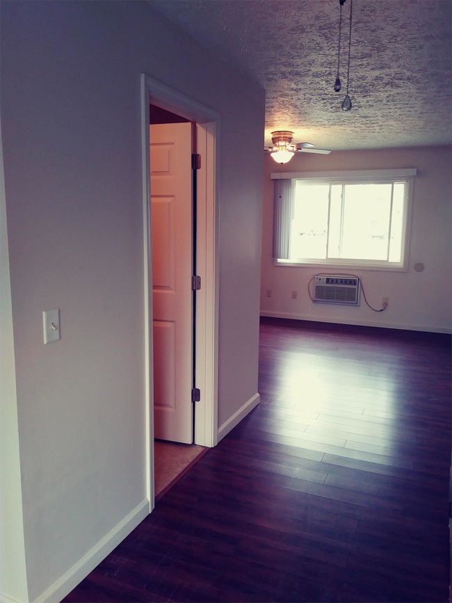
| Studio Studio 0 Br | 1 Bath 1 Bath 1 Ba | 300 SF |
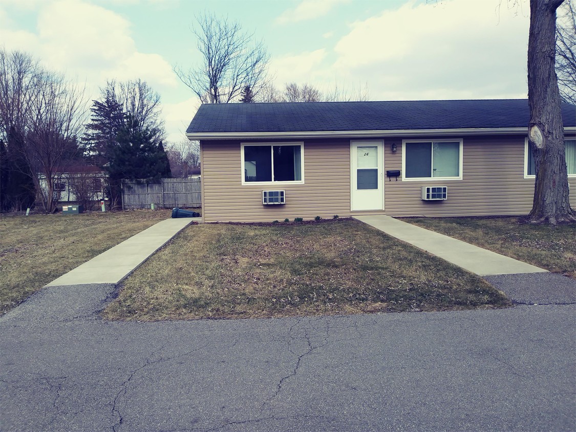
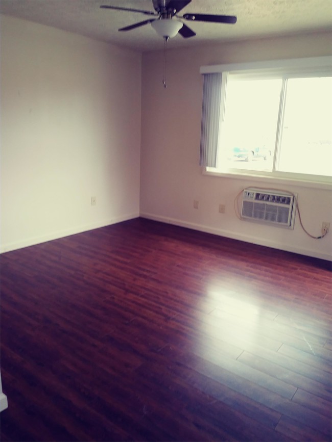
At Colinwood Apartments we offer our Residents, free parking, on-site mailboxes, and on-site trash removal. We are conveniently located close to Downtown Norwalk, providing our Resident's with plenty of shopping, dining, and entertainment options. We look forward to hearing from you soon!
57 Baker St is an apartment community located in Huron County and the 44857 ZIP Code.
Norwalk is a small city in north-central Ohio’s Firelands region, located about fifteen miles southeast of Sandusky and fifty miles west of Cleveland. The city cultivates a timeless small-town aesthetic, with a charming Downtown district full of historic brick buildings surrounded by tranquil, tree-lined neighborhood streets.
Norwalk is well known throughout the region as the home of Summit Motorsports Park, a popular track that hosts all manner of auto races throughout the year. Many in Ohio also know Norwalk for the Huron County Fair, which draws thousands of people to town every summer.
Learn more about living in Norwalk| Colleges & Universities | Distance | ||
|---|---|---|---|
| Colleges & Universities | Distance | ||
| Drive: | 39 min | 24.4 mi | |
| Drive: | 49 min | 31.9 mi | |
| Drive: | 56 min | 33.9 mi | |
| Drive: | 50 min | 38.3 mi |
Scores provided by
Traffic
-Airport
-Businesses
-Scores provided by
HowLoud What is a Sound Score Rating? A Sound Score Rating aggregates noise caused by vehicle traffic, airplane traffic and local sources. How It Works
What Are Walk Score®, Transit Score®, and Bike Score® Ratings?
Walk Score® measures the walkability of any address. Transit Score® measures access to public transit. Bike Score® measures the bikeability of any address.
What is a Sound Score Rating?
A Sound Score Rating aggregates noise caused by vehicle traffic, airplane traffic and local sources.

57 Baker St
Norwalk, OH 44857


