
Columbus Park Apartments
6055 Bear Creek Dr,
Bedford Heights, OH 44146
$837 - $1,489
1-3 Beds
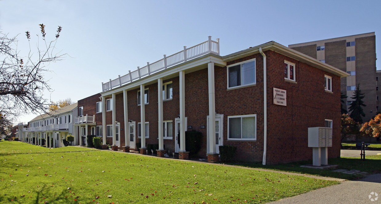
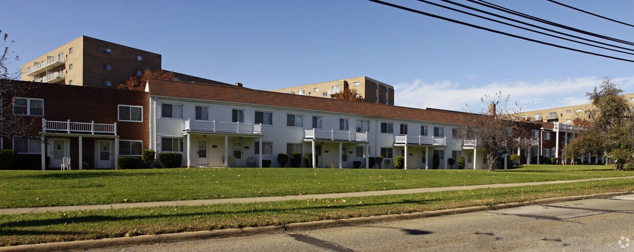
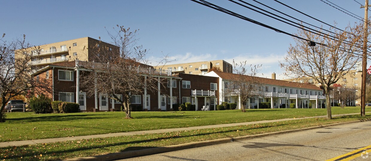

At 5668 Perkins Rd in Bedford, find a great place to live. The location of this community is on Perkins Rd. in the 44146 area of Bedford. Come for a visit to check out the apartment floorplan options. The leasing staff is ready and waiting to help you find the perfect place. Start living the good life at 5668 Perkins Rd. Contact or drop by to schedule a tour.
5668 Perkins Rd is an apartment community located in Cuyahoga County and the 44146 ZIP Code. This area is served by the Bedford City School District attendance zone.
Air Conditioning
Tub/Shower
Smoke Free
Heating
Bedford rests 12 miles southeast of Cleveland, and is considered to be one of the most historic suburbs in the Greater Cleveland Area. Bedford’s roots as a colonial mill town bestow a historical ambiance, as landmarks, buildings, and local legends make it a downright intriguing place to explore.
Much of the city’s expanses of lush green space are a part of the Cleveland Metroparks, which contributes ample opportunities for outdoor recreation to the community. Great Falls of Tinker's Creek is one of the premier sights in the area, exemplifying Bedford’s natural beauty and historical significance.
Bedford also touts an array of modern amenities. Convenience stores, supermarkets, and auto malls are strewn throughout the city, while specialty shops, cozy cafes, and diverse eateries line the vibrant Broadway Avenue in Bedford’s historic downtown. Getting around from Bedford is a breeze with convenience to I-271, I-480, and Route 8.
Learn more about living in Bedford| Colleges & Universities | Distance | ||
|---|---|---|---|
| Colleges & Universities | Distance | ||
| Drive: | 8 min | 3.7 mi | |
| Drive: | 9 min | 4.9 mi | |
| Drive: | 15 min | 7.6 mi | |
| Drive: | 15 min | 9.1 mi |


Transportation options available in Bedford include Warrensville (Blue Line), located 5.3 miles from 5668 Perkins Rd. 5668 Perkins Rd is near Cleveland-Hopkins International, located 20.3 miles or 31 minutes away, and Akron-Canton Regional, located 38.2 miles or 50 minutes away.
| Transit / Subway | Distance | ||
|---|---|---|---|
| Transit / Subway | Distance | ||
|
|
Drive: | 9 min | 5.3 mi |
|
|
Drive: | 10 min | 5.9 mi |
|
|
Drive: | 10 min | 6.1 mi |
|
|
Drive: | 10 min | 6.2 mi |
|
|
Drive: | 13 min | 7.0 mi |
| Commuter Rail | Distance | ||
|---|---|---|---|
| Commuter Rail | Distance | ||
| Drive: | 16 min | 7.6 mi | |
| Drive: | 17 min | 8.0 mi | |
| Drive: | 23 min | 12.2 mi | |
|
Boston Mill
|
Drive: | 24 min | 15.1 mi |
| Drive: | 23 min | 16.9 mi |
| Airports | Distance | ||
|---|---|---|---|
| Airports | Distance | ||
|
Cleveland-Hopkins International
|
Drive: | 31 min | 20.3 mi |
|
Akron-Canton Regional
|
Drive: | 50 min | 38.2 mi |
Scores provided by
Traffic
-Airport
-Businesses
-Scores provided by
HowLoud What is a Sound Score Rating? A Sound Score Rating aggregates noise caused by vehicle traffic, airplane traffic and local sources. How It WorksTime and distance from 5668 Perkins Rd.
| Shopping Centers | Distance | ||
|---|---|---|---|
| Shopping Centers | Distance | ||
| Walk: | 3 min | 0.2 mi | |
| Drive: | 4 min | 1.7 mi | |
| Drive: | 4 min | 1.9 mi |
| Parks and Recreation | Distance | ||
|---|---|---|---|
| Parks and Recreation | Distance | ||
|
South Chagrin Reservation
|
Drive: | 9 min | 4.7 mi |
|
Garfield Park Nature Center
|
Drive: | 11 min | 6.4 mi |
|
Bedford Reservation
|
Drive: | 15 min | 7.7 mi |
|
Nature Center at Shaker Lakes
|
Drive: | 14 min | 8.3 mi |
|
Acacia Reservation
|
Drive: | 13 min | 8.5 mi |
| Hospitals | Distance | ||
|---|---|---|---|
| Hospitals | Distance | ||
| Drive: | 7 min | 4.2 mi | |
| Drive: | 7 min | 4.3 mi | |
| Drive: | 9 min | 4.7 mi |
| Military Bases | Distance | ||
|---|---|---|---|
| Military Bases | Distance | ||
| Drive: | 94 min | 79.9 mi |
Pets Allowed Fitness Center Pool Kitchen In Unit Washer & Dryer Clubhouse Maintenance on site
What Are Walk Score®, Transit Score®, and Bike Score® Ratings?
Walk Score® measures the walkability of any address. Transit Score® measures access to public transit. Bike Score® measures the bikeability of any address.
What is a Sound Score Rating?
A Sound Score Rating aggregates noise caused by vehicle traffic, airplane traffic and local sources.

5668 Perkins Rd
Bedford, OH 44146


