
Aura Age 55 Plus Active Community
6000 Main St NE,
Fridley, MN 55432
$1,233 - $2,116 Plus Fees
Studio - 2 Beds
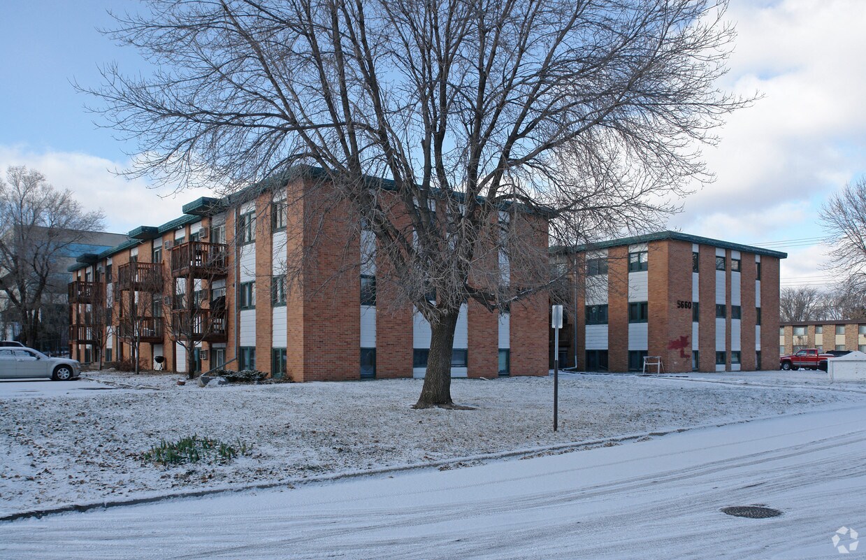
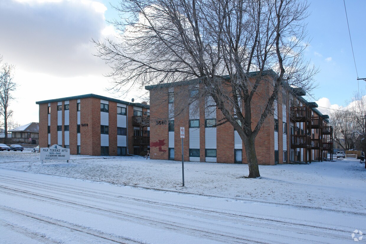

Discover your next place at 5650-5660 Polk St NE in Fridley. The location of this community is in Fridley on Polk St. Ne. The leasing team is ready and waiting for you to come by for a visit. Come for a visit to check out the current floorplan options. Contact us or stop by today.
5650-5660 Polk St Ne is an apartment community located in Anoka County and the 55432 ZIP Code. This area is served by the Columbia Heights Public School Dist attendance zone.
Fridley sits just north of Minneapolis as a first-ring suburb in Anoka County, where the Mississippi River shapes the city's western edge and Rice Creek runs through its core. Incorporated as a village in 1949, the city grew rapidly through the postwar decades into a community of about 30,000 spread across 11 square miles. Medtronic, one of the world's largest medical device companies, has long anchored Fridley's economy, and Unity Medical Center adds a strong healthcare presence. The Northstar Commuter Rail stop at Fridley Station connects riders directly to downtown Minneapolis in well under half an hour, making the city a practical base for those working in the metro.
Neighborhoods range from quiet residential streets lined with mid-century single-family homes to denser corridors near Highway 65. The rental market reflects that variety, offering everything from sprawling apartment communities with modern amenities to smaller townhome-style options and garden-style buildings.
Learn more about living in Fridley| Colleges & Universities | Distance | ||
|---|---|---|---|
| Colleges & Universities | Distance | ||
| Drive: | 10 min | 6.1 mi | |
| Drive: | 11 min | 7.8 mi | |
| Drive: | 16 min | 9.7 mi | |
| Drive: | 17 min | 11.5 mi |


Transportation options available in Fridley include Target Field Station Platform 2, located 9.1 miles from 5650-5660 Polk St NE. 5650-5660 Polk St NE is near Minneapolis-St Paul International/Wold-Chamberlain, located 21.0 miles or 34 minutes away.
| Transit / Subway | Distance | ||
|---|---|---|---|
| Transit / Subway | Distance | ||
| Drive: | 15 min | 9.1 mi | |
|
|
Drive: | 15 min | 9.2 mi |
|
|
Drive: | 15 min | 9.3 mi |
|
|
Drive: | 15 min | 9.4 mi |
|
|
Drive: | 16 min | 9.6 mi |
| Commuter Rail | Distance | ||
|---|---|---|---|
| Commuter Rail | Distance | ||
|
|
Drive: | 6 min | 2.7 mi |
|
|
Drive: | 16 min | 9.2 mi |
|
|
Drive: | 19 min | 12.6 mi |
|
|
Drive: | 20 min | 14.3 mi |
|
|
Drive: | 20 min | 15.4 mi |
| Airports | Distance | ||
|---|---|---|---|
| Airports | Distance | ||
|
Minneapolis-St Paul International/Wold-Chamberlain
|
Drive: | 34 min | 21.0 mi |
Scores provided by
Traffic
-Airport
-Businesses
-Scores provided by
HowLoud What is a Sound Score Rating? A Sound Score Rating aggregates noise caused by vehicle traffic, airplane traffic and local sources. How It WorksTime and distance from 5650-5660 Polk St NE.
| Shopping Centers | Distance | ||
|---|---|---|---|
| Shopping Centers | Distance | ||
| Walk: | 19 min | 1.0 mi | |
| Walk: | 20 min | 1.1 mi | |
| Drive: | 3 min | 1.2 mi |
| Parks and Recreation | Distance | ||
|---|---|---|---|
| Parks and Recreation | Distance | ||
|
Creekview Park
|
Drive: | 6 min | 2.6 mi |
|
Columbia Park
|
Drive: | 7 min | 3.1 mi |
|
Silverwood Park
|
Drive: | 8 min | 3.8 mi |
|
Locke County Park
|
Drive: | 9 min | 4.0 mi |
|
Carl Kroening Interpretive Center
|
Drive: | 8 min | 4.5 mi |
| Hospitals | Distance | ||
|---|---|---|---|
| Hospitals | Distance | ||
| Drive: | 13 min | 8.3 mi | |
| Drive: | 18 min | 10.1 mi | |
| Drive: | 19 min | 12.8 mi |
| Military Bases | Distance | ||
|---|---|---|---|
| Military Bases | Distance | ||
| Drive: | 29 min | 17.9 mi |
Pets Allowed Fitness Center Pool Dishwasher Refrigerator Clubhouse Maintenance on site
Pets Allowed Fitness Center Dishwasher Refrigerator Kitchen In Unit Washer & Dryer
High-Speed Internet Laundry Facilities
What Are Walk Score®, Transit Score®, and Bike Score® Ratings?
Walk Score® measures the walkability of any address. Transit Score® measures access to public transit. Bike Score® measures the bikeability of any address.
What is a Sound Score Rating?
A Sound Score Rating aggregates noise caused by vehicle traffic, airplane traffic and local sources.


