$3,000
Total Monthly Price
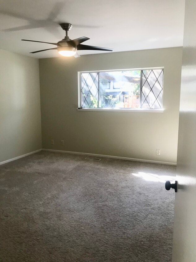
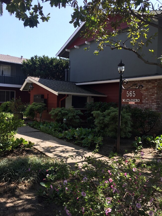
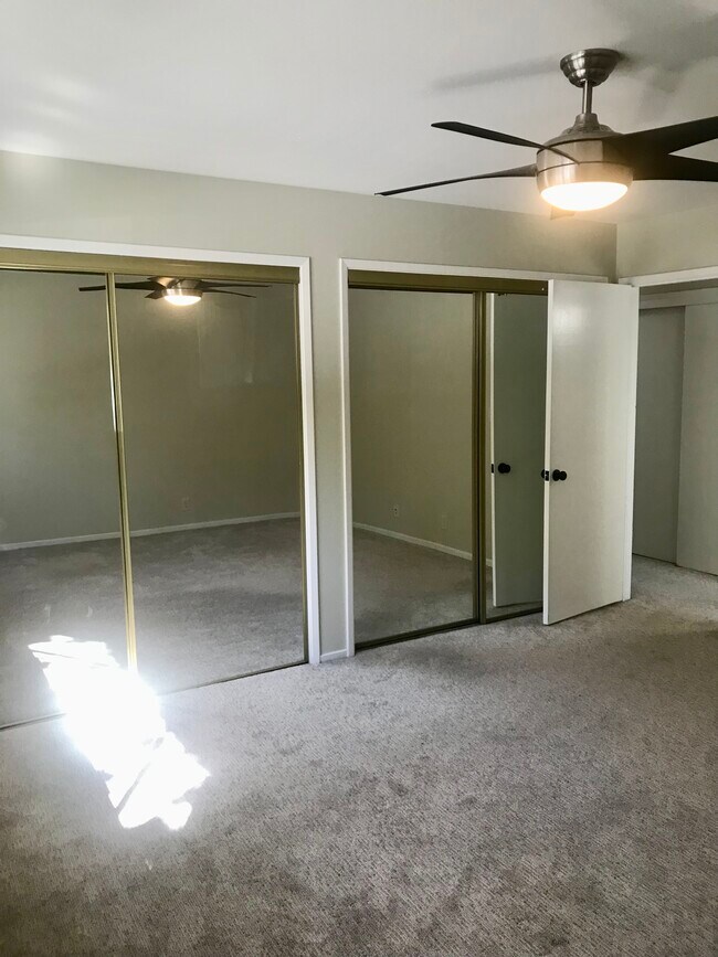
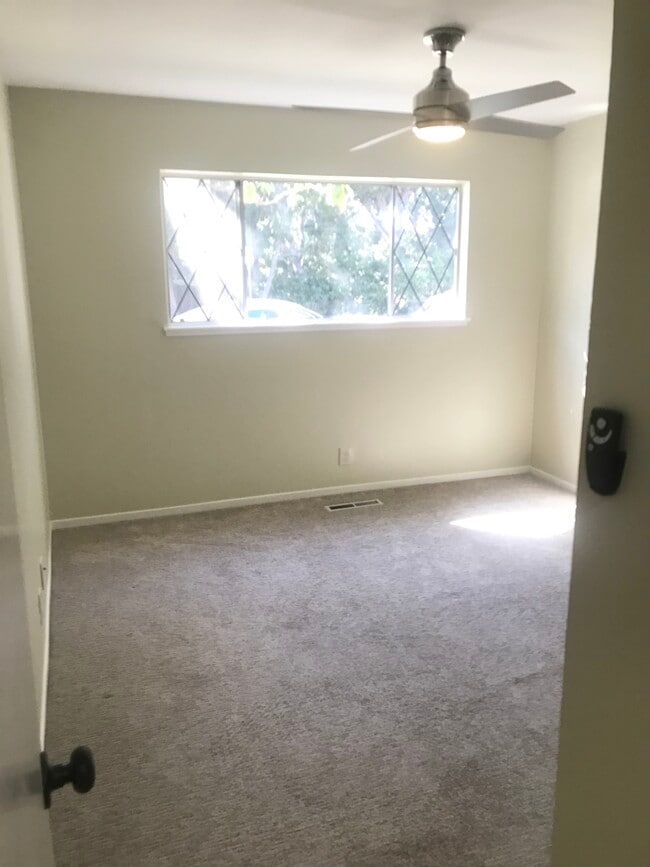
565 Matadero Ave Unit 7
Palo Alto, CA 94306
Favorites
565 Matadero Ave Unit 7

Favorites
Check Back Soon for Upcoming Availability
| Beds | Baths | Average SF |
|---|---|---|
| 2 Bedrooms 2 Bedrooms 2 Br | 1 Bath 1 Bath 1 Ba | 900 SF |
Fees and Policies
The fees listed below are community-provided and may exclude utilities or add-ons. All payments are made directly to the property and are non-refundable unless otherwise specified.
- Parking
-
Covered--
Details
Utilities Included
-
Water
-
Trash Removal
-
Sewer
Property Information
-
14 units
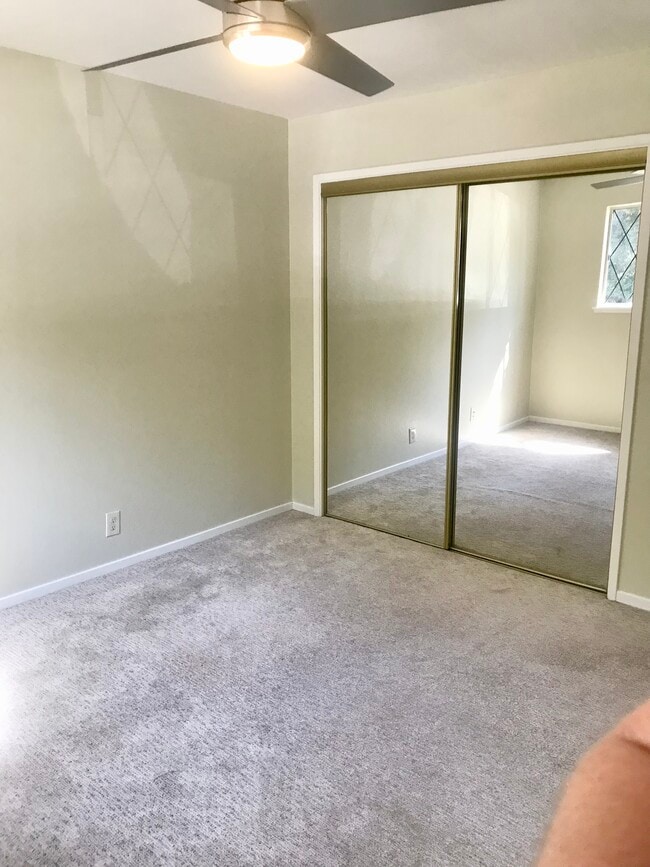
About This Property
Wonderful small community of 14 units, each with 2 bedrooms. Welcoming, well landscaped building with a central courtyard providing some outdoor seating areas and bike racks. West Palo Alto living at its finest and close to many public transit routes, parks, and shops.
565 Matadero Ave is an apartment community located in Santa Clara County and the 94306 ZIP Code.
Apartment Features
Dishwasher
Granite Countertops
Microwave
Refrigerator
- Heating
- Ceiling Fans
- Smoke Free
- Cable Ready
- Storage Space
- Tub/Shower
- Dishwasher
- Disposal
- Granite Countertops
- Eat-in Kitchen
- Kitchen
- Microwave
- Oven
- Range
- Refrigerator
- Freezer
- Laundry Facilities
- Courtyard
565 Matadero Ave,
Palo Alto,
CA
94306
Living in Palo Alto places you in Silicon Valley, where historic neighborhoods complement the city's technological presence. Tree-lined streets wind through the community, which is anchored by Stanford University. University Avenue features local boutiques and restaurants housed in preserved historic buildings, while the Stanford Shopping Center offers high-end retail destinations. The city maintains 36 parks and preserves, including the Baylands Nature Preserve and Foothills Park, where residents enjoy hiking trails and outdoor activities. Palo Alto's infrastructure supports alternative transportation, with dedicated bike lanes throughout the city.
The rental market in Palo Alto reflects the area's popularity, with current average rents ranging from $2,634 for studios to $6,139 for four-bedroom homes. Recent trends show steady growth, with rent increases varying from 1.8% to 17% across different unit sizes over the past year.
Learn more about living in Palo AltoBelow are rent ranges for similar nearby apartments
Amenities
- Heating
- Ceiling Fans
- Smoke Free
- Cable Ready
- Storage Space
- Tub/Shower
- Dishwasher
- Disposal
- Granite Countertops
- Eat-in Kitchen
- Kitchen
- Microwave
- Oven
- Range
- Refrigerator
- Freezer
- Laundry Facilities
- Courtyard
Expenses
Utilities Included
Water, Trash Removal, Sewer
Included
Education
| Colleges & Universities | Distance | ||
|---|---|---|---|
| Colleges & Universities | Distance | ||
| Drive: | 7 min | 2.4 mi | |
| Drive: | 7 min | 2.4 mi | |
| Drive: | 11 min | 4.6 mi | |
| Drive: | 12 min | 5.3 mi |
565 Matadero Ave Unit 7 is within 7 minutes or 2.4 miles from Foothill College, Middlefield. It is also near Stanford University and Menlo College.
Transportation options available in Palo Alto include Mountain View Station, located 3.9 miles from 565 Matadero Ave Unit 7. 565 Matadero Ave Unit 7 is near Norman Y Mineta San Jose International, located 13.3 miles or 22 minutes away, and San Francisco International, located 23.2 miles or 32 minutes away.
| Transit / Subway | Distance | ||
|---|---|---|---|
| Transit / Subway | Distance | ||
| Drive: | 8 min | 3.9 mi | |
|
|
Drive: | 11 min | 5.2 mi |
| Drive: | 12 min | 5.7 mi | |
|
|
Drive: | 13 min | 5.9 mi |
| Drive: | 13 min | 6.6 mi |
| Commuter Rail | Distance | ||
|---|---|---|---|
| Commuter Rail | Distance | ||
| Drive: | 3 min | 1.2 mi | |
| Drive: | 6 min | 2.7 mi | |
| Drive: | 7 min | 2.8 mi | |
| Drive: | 8 min | 3.8 mi | |
| Drive: | 11 min | 4.5 mi |
| Airports | Distance | ||
|---|---|---|---|
| Airports | Distance | ||
|
Norman Y Mineta San Jose International
|
Drive: | 22 min | 13.3 mi |
|
San Francisco International
|
Drive: | 32 min | 23.2 mi |
Walkability Near 565 Matadero Ave Palo Alto, CA 94306
Getting Around
 What do Walkability, Transit, Drivability, and Bikeability mean?
Walkability measures the walking distance to day-to-day needs.
Transit measures access to public transportation.
Drivability measures congestion, parking availability, and access to major roads.
Bikeability measures the suitability for cycling.
How It Works
What do Walkability, Transit, Drivability, and Bikeability mean?
Walkability measures the walking distance to day-to-day needs.
Transit measures access to public transportation.
Drivability measures congestion, parking availability, and access to major roads.
Bikeability measures the suitability for cycling.
How It Works
Fairly Walkable
Walkability
50
/ 100
Some Public Transit
Transit
50
/ 100
Moderately Drivable
Drivability
70
/ 100
Moderately Bikeable
Bikeability
60
/ 100
Scores provided by
Active
Soundscore™
72
/ 100
Traffic
ActiveAirport
CalmBusinesses
ActiveScores provided by
HowLoud What is a Sound Score Rating? A Sound Score Rating aggregates noise caused by vehicle traffic, airplane traffic and local sources. How It WorksTime and distance from 565 Matadero Ave Unit 7.
| Shopping Centers | Distance | ||
|---|---|---|---|
| Shopping Centers | Distance | ||
| Drive: | 3 min | 1.1 mi | |
| Drive: | 5 min | 1.9 mi |
565 Matadero Ave Unit 7 has 2 shopping centers within 1.9 miles, which is about a 5-minute drive. The miles and minutes will be for the farthest away property.
| Parks and Recreation | Distance | ||
|---|---|---|---|
| Parks and Recreation | Distance | ||
|
Bol Park
|
Walk: | 12 min | 0.6 mi |
|
Terman Park
|
Drive: | 4 min | 1.7 mi |
|
J. Pearce Mitchell Park
|
Drive: | 6 min | 1.7 mi |
|
Gamble Garden
|
Drive: | 5 min | 2.2 mi |
|
Esther Clark Nature Preserve
|
Drive: | 7 min | 2.7 mi |
565 Matadero Ave Unit 7 has 5 parks within 2.7 miles, including Bol Park, Terman Park, and J. Pearce Mitchell Park.
| Hospitals | Distance | ||
|---|---|---|---|
| Hospitals | Distance | ||
| Drive: | 8 min | 3.1 mi | |
| Drive: | 9 min | 3.6 mi | |
| Drive: | 12 min | 5.2 mi |
565 Matadero Ave Unit 7 has 3 hospitals within 5.2 miles, the nearest is Lucile Salter Packard Children's Hospital at Stanford which is 3.1 miles away and a 8 minute drive.
| Military Bases | Distance | ||
|---|---|---|---|
| Military Bases | Distance | ||
| Drive: | 15 min | 6.1 mi | |
| Drive: | 57 min | 39.4 mi | |
| Drive: | 58 min | 39.6 mi |
565 Matadero Ave Unit 7 has 3 military bases within 39.6 miles, the nearest is Ames Research Center which is 6.1 miles away and a 15 minute drive.
You May Also Like
Similar Rentals Nearby
-
-
-
-
-
1 / 39
 2 Beds$4,766+Total Monthly PriceTotal Monthly Price NewPrices include base rent and required monthly fees of $136. Variable costs based on usage may apply.Base Rent:2 Beds$4,629+1 Month Free
Pets Allowed Fitness Center Pool In Unit Washer & Dryer Patio Stainless Steel Appliances Hardwood Floors
-
-
-
2 Beds$4,532+Total Monthly PriceTotal Monthly Price NewPrices include base rent and required monthly fees of $8. Variable costs based on usage may apply.Base Rent:2 Beds$4,523+2 Months Free
Fitness Center Pool In Unit Washer & Dryer High-Speed Internet Stainless Steel Appliances Package Service
-
-


What Are Walk Score®, Transit Score®, and Bike Score® Ratings?
Walk Score® measures the walkability of any address. Transit Score® measures access to public transit. Bike Score® measures the bikeability of any address.
What is a Sound Score Rating?
A Sound Score Rating aggregates noise caused by vehicle traffic, airplane traffic and local sources.

565 Matadero Ave
Palo Alto, CA 94306