

$1,250
/ Month
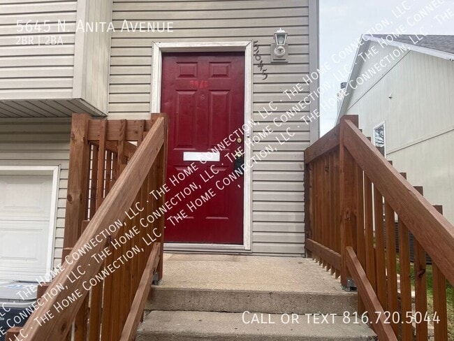
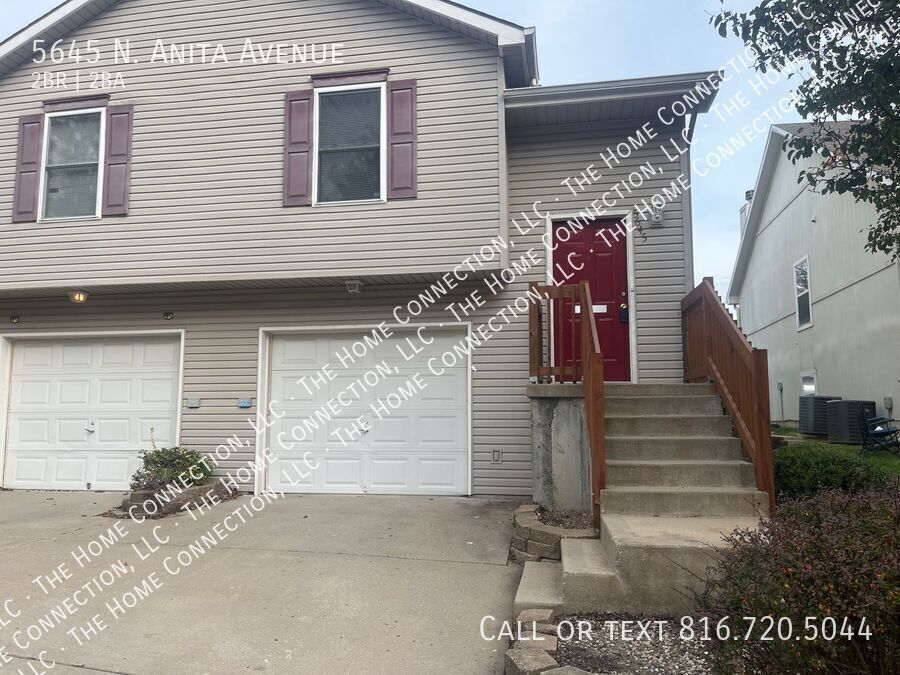
5645 N Anita Ave
Kansas City, MO 64151
Today
|
Edit
Favorites
-
Bedrooms
2
-
Bathrooms
2
-
Square Feet
--
5645 N Anita Ave

Favorites
About This Home
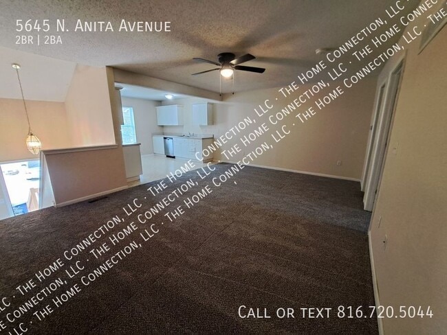
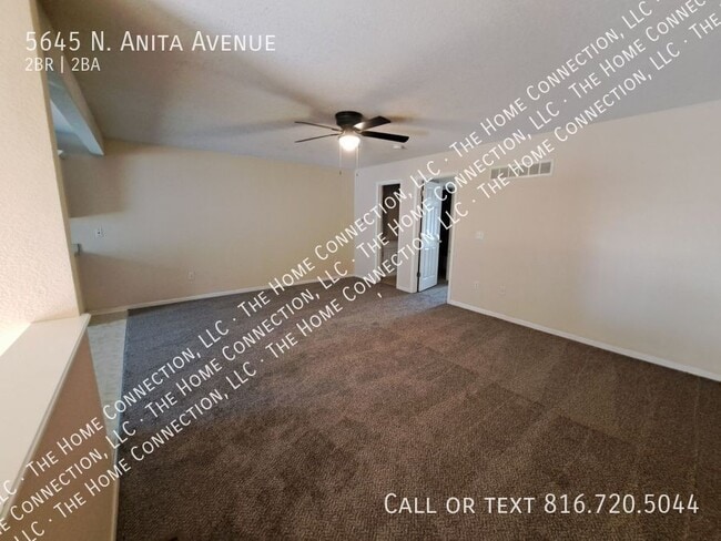
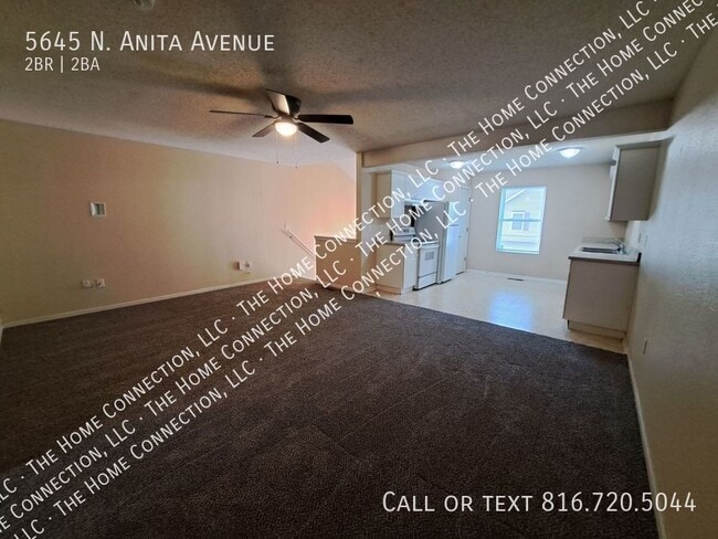
This spacious duplex offers a bright and open kitchen with a dishwasher, disposal, refrigerator, flat-top stove, oven, and pantry. Enjoy a large primary suite with a walk-in closet, washer/dryer hookups, and a one-car garage. Located in the highly rated Park Hill School District, this home offers easy highway access and is just minutes from downtown Parkville, shopping, restaurants, and only 15 minutes to downtown Kansas City. - Tenant pays all utilities - Small to medium pets considered with additional deposit - Smoking strictly prohibited The Home Connection, LLC
5645 N Anita Ave is a house located in Platte County and the 64151 ZIP Code. This area is served by the Park Hill attendance zone.
* Price shown is base rent. Excludes user-selected optional fees and variable or usage-based fees and required charges due at or prior to move-in or at move-out. Price, availability, fees, and any applicable rent special are subject to change without notice.
* Square footage definitions vary. Displayed square footage is approximate.
Contact
- Listed by The Home Connection, LLC
Location
Get Directions
Parkdale-Walden is a small community spanning west of Interstate 29. The central parts of the neighborhood are filled with residential communities and schools complemented by greenery. The edges of town hold the retail and business developments. The northern border of town, along Tom Watson Parkway, is home to the Village at Burlington Creek, a commercial hub featuring a grocery store, gym, restaurants, apartment communities, and more. Next door to this retail center lies Tremont Square, another center for shopping, dining, and business. Surrounding Parkdale-Walden are several green spaces including Frank Vaydik Park and Green Hills of Platte Wildlife Preserve. Additional features near the neighborhood include the excitement of Downtown Kansas City, which is located less than 10 miles south of Parkdale-Walden.
Learn more about living in Parkdale-Walden
Education
| Colleges & Universities | Distance | ||
|---|---|---|---|
| Colleges & Universities | Distance | ||
| Drive: | 11 min | 5.5 mi | |
| Drive: | 18 min | 10.2 mi | |
| Drive: | 25 min | 12.7 mi | |
| Drive: | 20 min | 13.4 mi |
5645 N Anita Ave is within 11 minutes or 5.5 miles from Park University. It is also near Metropolitan Community College and Kansas City Art Institute.
Schools


Public Elementary School
Grades K-5
500 Students
Attendance Zone
Public Elementary School
Grades K-5
403 Students
Nearby
Public Middle School
Grades 6-8
679 Students
Nearby
Public Middle School
Grades 6-8
715 Students
Nearby
Public High School
Grades 9-12
1,860 Students
Attendance Zone
Private Elementary School
Grades PK-6
Nearby
Private Elementary, Middle & High School
Grades PK-12
142 Students
Nearby
Private High School
Grades 9-12
329 Students
Nearby
School data provided by
 The GreatSchools Rating helps parents compare schools within a state based on a variety of school quality indicators and provides a helpful picture of how effectively each school serves all of its students. Ratings are on a scale of 1 (below average) to 10 (above average) and can include test scores, college readiness, academic progress, advanced courses, equity, discipline and attendance data. We also advise parents to visit schools, consider other information on school performance and programs, and consider family needs as part of the school selection process.
View GreatSchools Rating Methodology
Data provided by GreatSchools.org © 2025. All rights reserved.
View GreatSchools Rating Methodology
Data provided by GreatSchools.org © 2025. All rights reserved.
Transportation options available in Kansas City include River Market North On 3Rd St At Grand Wb, located 8.0 miles from 5645 N Anita Ave. 5645 N Anita Ave is near Kansas City International, located 11.7 miles or 17 minutes away.
| Transit / Subway | Distance | ||
|---|---|---|---|
| Transit / Subway | Distance | ||
| Drive: | 14 min | 8.0 mi | |
| Drive: | 15 min | 8.2 mi | |
| Drive: | 15 min | 8.3 mi | |
| Drive: | 15 min | 8.5 mi | |
| Drive: | 16 min | 8.7 mi |
| Commuter Rail | Distance | ||
|---|---|---|---|
| Commuter Rail | Distance | ||
|
|
Drive: | 20 min | 10.3 mi |
|
|
Drive: | 30 min | 18.1 mi |
|
|
Drive: | 44 min | 29.7 mi |
| Airports | Distance | ||
|---|---|---|---|
| Airports | Distance | ||
|
Kansas City International
|
Drive: | 17 min | 11.7 mi |
Time and distance from 5645 N Anita Ave.
| Shopping Centers | Distance | ||
|---|---|---|---|
| Shopping Centers | Distance | ||
| Drive: | 4 min | 1.5 mi | |
| Drive: | 5 min | 1.9 mi | |
| Drive: | 5 min | 2.0 mi |
5645 N Anita Ave has 3 shopping centers within 2.0 miles, which is about a 5-minute drive. The miles and minutes will be for the farthest away property.
| Parks and Recreation | Distance | ||
|---|---|---|---|
| Parks and Recreation | Distance | ||
|
Frank Vaydik Park
|
Drive: | 10 min | 4.1 mi |
|
Park Forest
|
Drive: | 9 min | 4.3 mi |
|
Parkville Nature Sanctuary
|
Drive: | 10 min | 4.8 mi |
|
English Landing Park
|
Drive: | 9 min | 4.9 mi |
|
Shoal Creek Living History Museum
|
Drive: | 17 min | 12.2 mi |
5645 N Anita Ave has 5 parks within 12.2 miles, including Frank Vaydik Park, Park Forest, and English Landing Park.
| Hospitals | Distance | ||
|---|---|---|---|
| Hospitals | Distance | ||
| Drive: | 9 min | 5.3 mi | |
| Drive: | 13 min | 7.5 mi | |
| Drive: | 13 min | 7.5 mi |
5645 N Anita Ave has 3 hospitals within 7.5 miles, the nearest is Saint Luke's North Hospital which is 5.3 miles away and a 9 minute drive.
| Military Bases | Distance | ||
|---|---|---|---|
| Military Bases | Distance | ||
| Drive: | 40 min | 23.2 mi |
5645 N Anita Ave is 23.2 miles and a 40 minute drive from Fort Leavenworth.
You May Also Like
Similar Rentals Nearby


What Are Walk Score®, Transit Score®, and Bike Score® Ratings?
Walk Score® measures the walkability of any address. Transit Score® measures access to public transit. Bike Score® measures the bikeability of any address.
What is a Sound Score Rating?
A Sound Score Rating aggregates noise caused by vehicle traffic, airplane traffic and local sources
5645 N Anita Ave
Kansas City, MO 64151