
5478 Cedar Ln
5478 Cedar Ln,
Columbia,
MD
21044
2 Weeks Ago
Favorites
5478 Cedar Ln

Favorites
Check Back Soon for Upcoming Availability
Fees and Policies
The fees below are based on community-supplied data and may exclude additional fees and utilities.
- Dogs Allowed
-
Fees not specified
- Cats Allowed
-
Fees not specified
- Parking
-
Surface Lot--
Details
Lease Options
-
12 Months
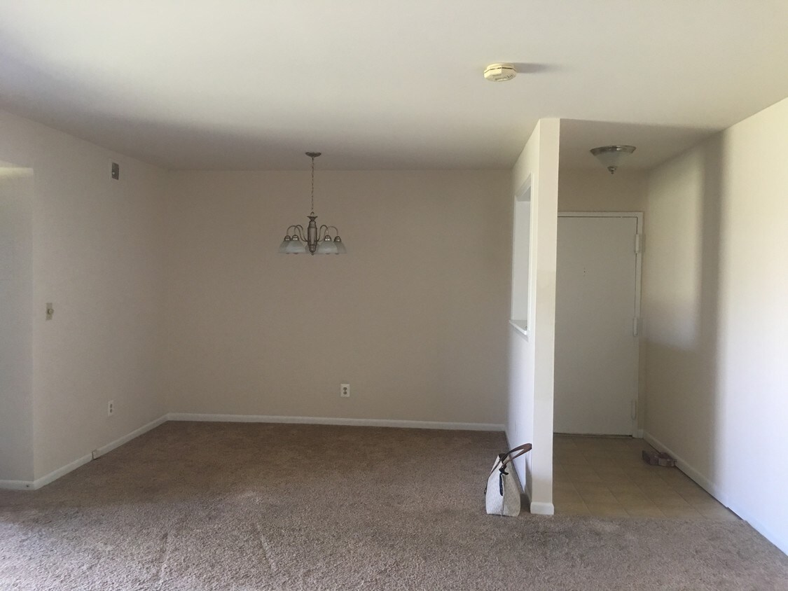
About 5478 Cedar Ln Columbia, MD 21044
Beautiful Location. The closest walk-able approx. 2 mins. to grocery stores. The closest Transit is in 2 mins walk. Utilities including gas and water paid by owner. Only Electric for house lighting to be paid by the tenant. Nearby are 24 hr. Food Mart and David's Natural Market. Nearby coffee shops include Dun-kin Donuts, McDonald's and Starbucks. Nearby restaurants include Papa John's Pizza, SUBWAY Restaurants and Zapata's Restaurant. 5478 Cedar Ln Unit B 3 is near Cedar Lane Park, Hawthorn Park and Middle Pat-extent Environmental Area. The Howard County Community College, Howard County General Hospital are in walk-able distance. Nearby to Columbia Mall. Nearby schools include Swans-field Elementary School, HP Choice Middle School and Wilde Lake High School.
5478 Cedar Ln is a condo located in Howard County and the 21044 ZIP Code.
Condo Features
- Washer/Dryer
- Smoke Free
Location
Get Directions
Located just one mile northwest of Downtown Columbia, Harper’s Choice is a tranquil village in a forest-like environment. Harper’s Choice is largely residential, providing plenty of apartments available for rent amid dense rows of lush trees.
Harper’s Choice also offers access to suburban conveniences, including grocery shopping and casual dining, at the Harper’s Choice shopping center and the nearby Mall in Columbia. Residents delight in the village’s great recreational venues, such as Cedar Lane Park and Hobbit’s Glen Golf Club. Howard County General Hospital and Howard Community College are also within close reach of Harper’s Choice, affording many residents short commute times.
Learn more about living in Harper's ChoiceBelow are rent ranges for similar nearby apartments
Amenities
- Washer/Dryer
- Smoke Free
Education
| Colleges & Universities | Distance | ||
|---|---|---|---|
| Colleges & Universities | Distance | ||
| Drive: | 3 min | 1.3 mi | |
| Drive: | 27 min | 16.1 mi | |
| Drive: | 27 min | 16.7 mi | |
| Drive: | 35 min | 19.7 mi |
5478 Cedar Ln is within 3 minutes or 1.3 miles from Howard Community College. It is also near CCBC Cantonsville and UMBC.
Transportation options available in Columbia include Dorsey, located 11.3 miles from 5478 Cedar Ln. 5478 Cedar Ln is near Baltimore/Washington International Thurgood Marshall, located 18.8 miles or 29 minutes away, and Ronald Reagan Washington Ntl, located 31.5 miles or 52 minutes away.
| Transit / Subway | Distance | ||
|---|---|---|---|
| Transit / Subway | Distance | ||
|
|
Drive: | 21 min | 11.3 mi |
| Commuter Rail | Distance | ||
|---|---|---|---|
| Commuter Rail | Distance | ||
|
|
Drive: | 19 min | 10.3 mi |
|
|
Drive: | 18 min | 10.7 mi |
| Drive: | 21 min | 11.4 mi | |
| Drive: | 21 min | 11.4 mi | |
|
|
Drive: | 21 min | 11.6 mi |
| Airports | Distance | ||
|---|---|---|---|
| Airports | Distance | ||
|
Baltimore/Washington International Thurgood Marshall
|
Drive: | 29 min | 18.8 mi |
|
Ronald Reagan Washington Ntl
|
Drive: | 52 min | 31.5 mi |
Time and distance from 5478 Cedar Ln.
| Shopping Centers | Distance | ||
|---|---|---|---|
| Shopping Centers | Distance | ||
| Walk: | 7 min | 0.4 mi | |
| Walk: | 20 min | 1.1 mi | |
| Drive: | 7 min | 2.3 mi |
5478 Cedar Ln has 3 shopping centers within 2.3 miles, which is about a 7-minute walk. The miles and minutes will be for the farthest away property.
| Parks and Recreation | Distance | ||
|---|---|---|---|
| Parks and Recreation | Distance | ||
|
Clark's Elioak Farm
|
Drive: | 5 min | 2.5 mi |
|
Brighton Dam's Azalea Garden
|
Drive: | 15 min | 8.2 mi |
|
Pigtail Recreation Area
|
Drive: | 17 min | 8.2 mi |
|
Browns Bridge Recreation Area
|
Drive: | 17 min | 8.8 mi |
|
Mt Pleasant - Howard County Conservancy
|
Drive: | 19 min | 9.1 mi |
5478 Cedar Ln has 5 parks within 9.1 miles, including Clark's Elioak Farm, Brighton Dam's Azalea Garden, and Pigtail Recreation Area.
| Hospitals | Distance | ||
|---|---|---|---|
| Hospitals | Distance | ||
| Walk: | 10 min | 0.5 mi | |
| Drive: | 25 min | 14.4 mi | |
| Drive: | 24 min | 14.8 mi |
5478 Cedar Ln has 3 hospitals within 14.8 miles, the nearest is Howard County General Hospital which is 0.5 mile away and a 10 minute walk.
| Military Bases | Distance | ||
|---|---|---|---|
| Military Bases | Distance | ||
| Drive: | 25 min | 14.9 mi |
5478 Cedar Ln is 14.9 miles and a 25 minute drive from Fort George Meade.
You May Also Like
Similar Rentals Nearby


What Are Walk Score®, Transit Score®, and Bike Score® Ratings?
Walk Score® measures the walkability of any address. Transit Score® measures access to public transit. Bike Score® measures the bikeability of any address.
What is a Sound Score Rating?
A Sound Score Rating aggregates noise caused by vehicle traffic, airplane traffic and local sources