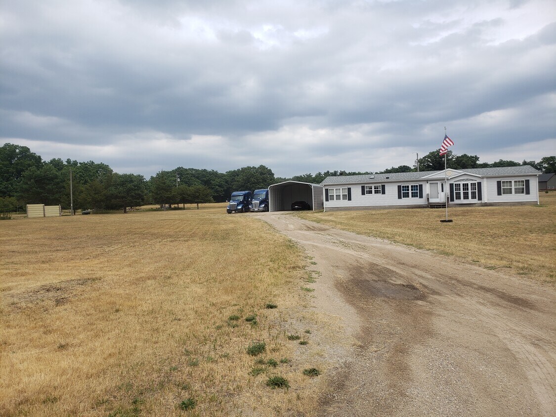
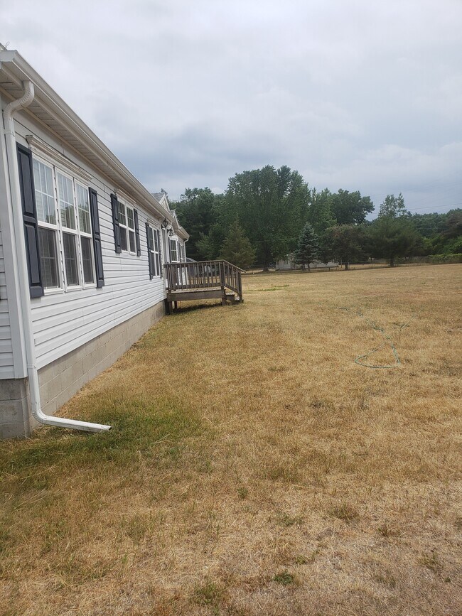


4 Beds, 2 Baths, 1,822 sq ft
$4,000
Total Monthly Price
1 Month Lease
Total Monthly Price
New
Prices include all required monthly fees.
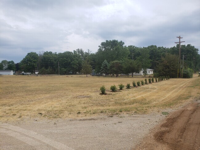
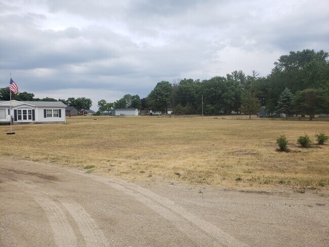
15305 Silver Beach Dr

