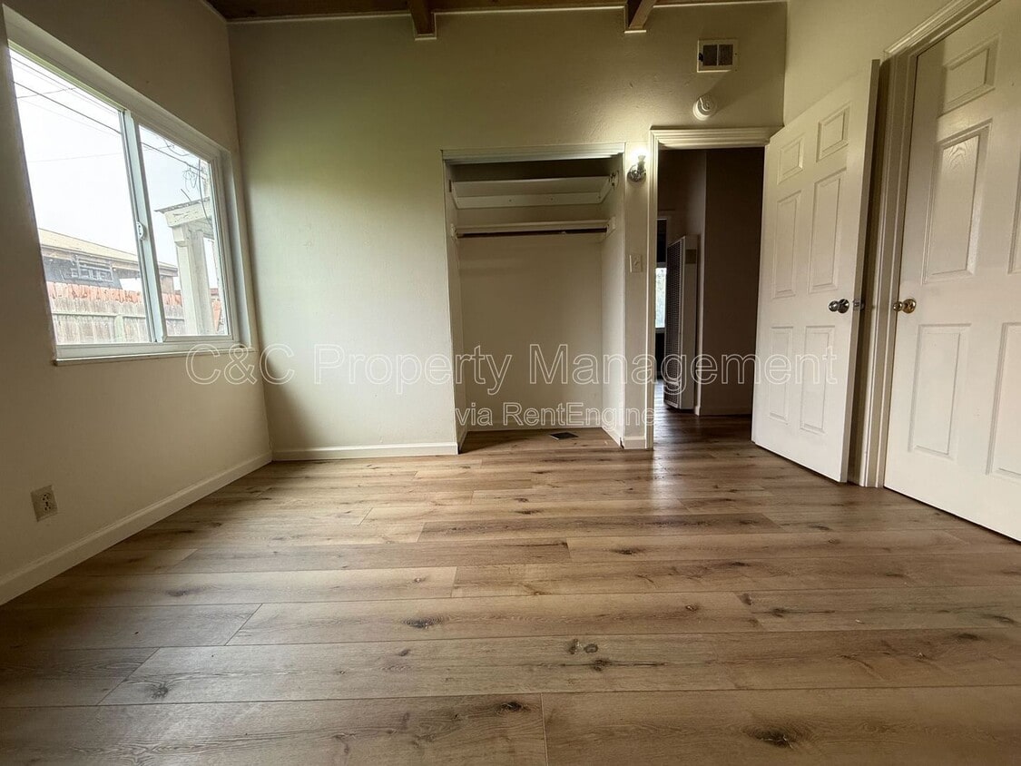
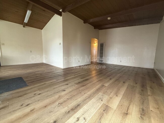
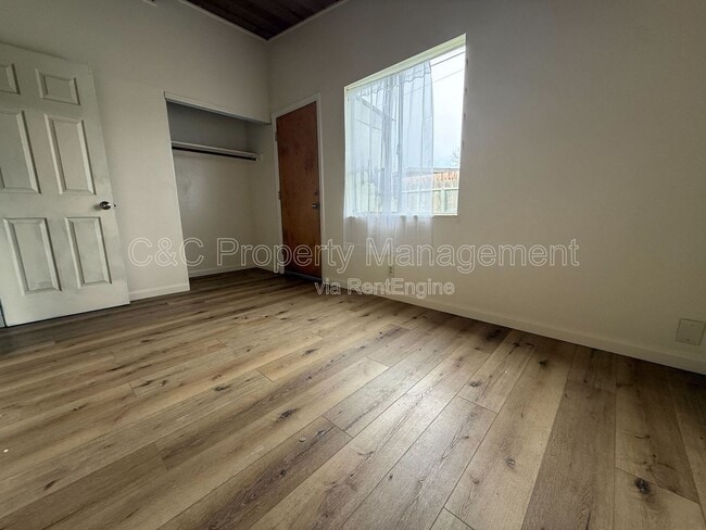
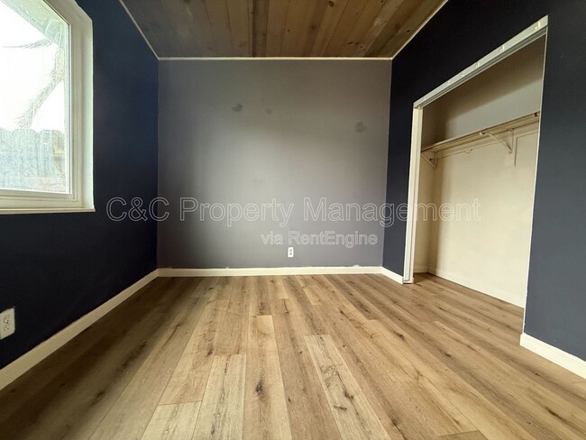
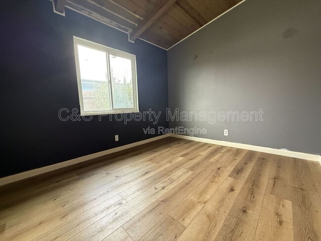
$3,650 / Month

54 Shasta Way

,

Salinas, CA 93905

Today
| Edit

Under 30 minutes

Commute Time is calculated at rush hour.
Share Listing
Favorites
831-888-1798
  • Bedrooms

    4

  • Bathrooms

    2

  • Square Feet

    1,188 sq ft

  • Available

    Available Now

54 Shasta Way
Share Listing
Favorites

About This Home

Available Now

Welcome to 54 Shasta Way, a well-kept home located in a quiet, established neighborhood in Salinas. This property offers comfortable living with easy access to schools, shopping, and major routes. Property Highlights: *** Located in a desirable East Salinas neighborhood *** Bright and functional floor plan *** Spacious living and dining areas *** Well-sized bedrooms *** Kitchen with ample storage and workspace *** Private backyard for relaxing or entertaining *** Close to parks, schools, and local amenities *** Convenient access to Highway 101 Tenant responsible for: water, trash, PG&E and sewage $35 Monthly Home Assistance Fee We comply with all Fair Housing laws and provide equal housing opportunities. Our first qualified, first approved screening criteria include an approved credit history, income at least three times the rent, a move-in date within seven business days of applying, and no pets (service and emotional support animals exempted). Applicants who do not meet these criteria will still be considered based on qualifications rather than the order of application. Please send a text message to  for additional information. By submitting your information on this page you consent to being contacted by the Property Manager and RentEngine via SMS, phone, or email.

54 Shasta Way is a house located in Monterey County and the 93905 ZIP Code. This area is served by the Salinas City Elementary School District attendance zone.

* Price shown is base rent. Excludes user-selected optional fees and variable or usage-based fees and required charges due at or prior to move-in or at move-out. Price, availability, fees, and any applicable rent special are subject to change without notice.
* Square footage definitions vary. Displayed square footage is approximate.

Contact

  • Listed by C&C Property Management | C&C Property Management
  • Phone Number
  • Contact
Neighborhood

With a diverse population and a mix of residential and commercial areas, as well as a large golf course and municipal airport, Greater Salinas supports numerous lifestyles. Set around the small Californian city of Salinas, with rural agricultural areas stretching east and south from the airport, the neighborhood combines urban grit with a small-town feel.

As with many areas of Salinas, the agricultural business plays a major role as an employer in the area. Downtown Salinas lies at the heart of the region, and just five miles from the outer reaches of the area. Within Greater Salinas you’ll find the municipal airport, and a collection of shops, restaurants, neighborhoods, and more.

Learn more about living in Greater Salinas 
Education
Colleges & Universities Distance
Drive: 7 min 2.9 mi
Drive: 22 min 12.5 mi
Drive: 26 min 19.9 mi
Drive: 28 min 20.1 mi
54 Shasta Way is within 7 minutes or 2.9 miles from Hartnell College. It is also near Cal State Monterey Bay and Naval Postgraduate School.
Schools
Public Elementary School
Grades K-5
Nearby
Public Middle School
Grades 6-8
Nearby
Public High School
Grades 9-12
Nearby
Transportation

54 Shasta Way is near Monterey Regional, located 16.9 miles or 22 minutes away.

Commuter Rail Distance
Drive: 5 min 2.4 mi
Drive: 36 min 29.3 mi
Drive: 43 min 36.2 mi
Drive: 44 min 36.3 mi
Drive: 50 min 40.5 mi
Airports Distance
Airports Distance
Monterey Regional
Drive: 22 min 16.9 mi
Getting Around
Moderately Walkable
Walkability
60 / 100
Limited Public Transit
Transit
20 / 100
Moderately Drivable
Drivability
70 / 100
Fairly Bikeable
Bikeability
40 / 100

Scores provided by

What do Walkability, Transit, Drivability, and Bikeability mean? Walkability measures the walking distance to day-to-day needs. Transit measures access to public transportation. Drivability measures congestion, parking availability, and access to major roads. Bikeability measures the suitability for cycling. How It Works
Active
Soundscore
70 / 100

Traffic

Active

Airport

Active

Businesses

Active

Scores provided by

HowLoud What is a Sound Score Rating? A Sound Score Rating aggregates noise caused by vehicle traffic, airplane traffic and local sources. How It Works
Points of Interest

Time and distance from 54 Shasta Way.

Shopping Centers Distance
Walk: 4 min 0.2 mi
Walk: 8 min 0.5 mi
Walk: 13 min 0.7 mi
54 Shasta Way has 3 shopping centers within 0.7 mile, which is about a 13-minute walk. The miles and minutes will be for the farthest away property.
Parks and Recreation Distance
Fort Ord National Monument
Drive: 9 min 6.0 mi
Toro County Park
Drive: 10 min 8.1 mi
Monterey Institute for Research in Astronomy
Drive: 21 min 12.8 mi
Fremont Peak State Park
Drive: 52 min 32.5 mi
54 Shasta Way has 4 parks within 32.5 miles, including Fort Ord National Monument, Toro County Park, and Monterey Institute for Research in Astronomy.
Hospitals Distance
Hospitals Distance
Drive: 3 min 1.8 mi
Drive: 5 min 2.4 mi
54 Shasta Way is 1.8 miles from Salinas Valley Memorial Hospital, and is convenient to other hospitals, including Natividad Medical Center.
Military Bases Distance
Drive: 30 min 21.2 mi
Drive: 36 min 24.1 mi
54 Shasta Way is 21.2 miles from Presidio of Monterey, and is convenient to other military bases, including Coast Guard Facilities.

You May Also Like

Similar Rentals Nearby