The Edge on the Boulevard
34500 Fremont Blvd,
Fremont, CA 94555
$2,025 - $2,350
Studio - 2 Beds
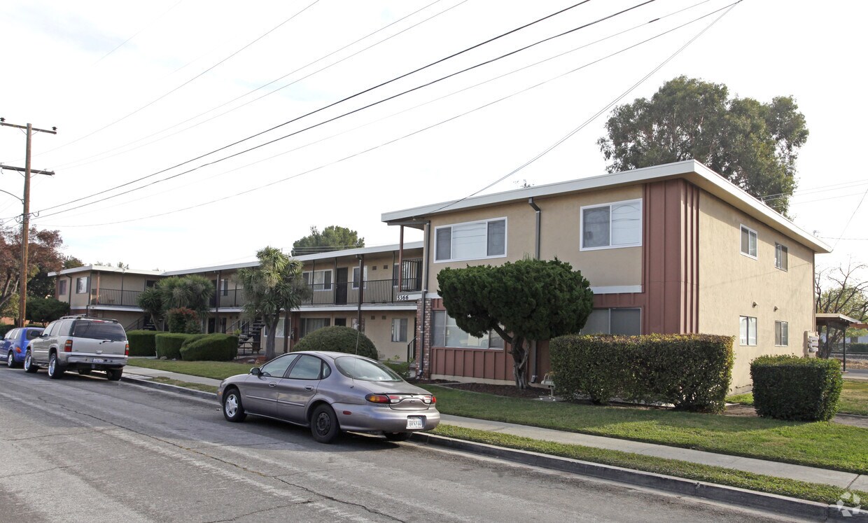
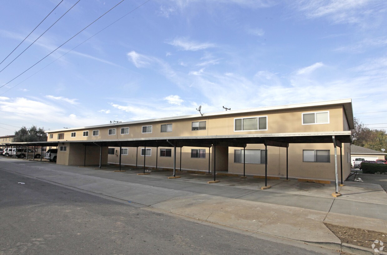
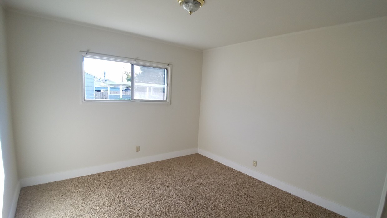
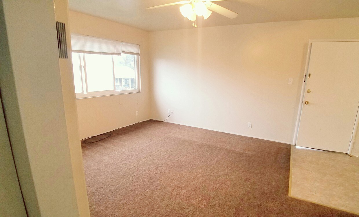

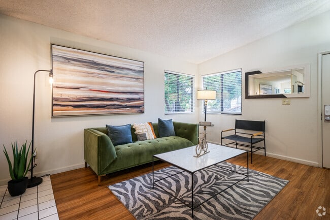
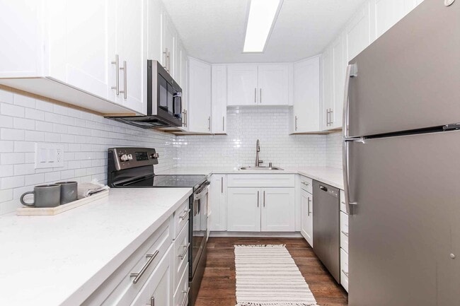
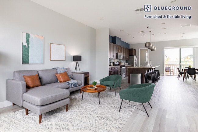
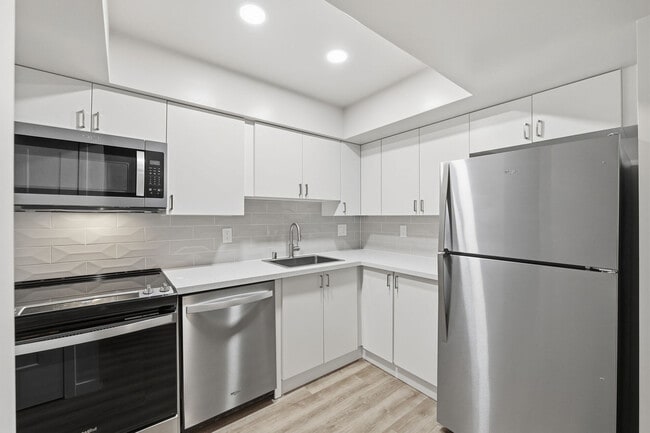
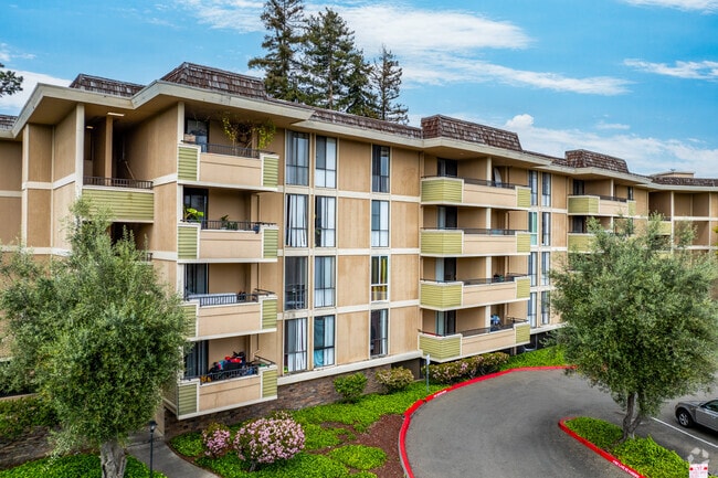
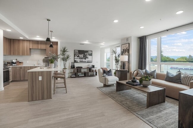
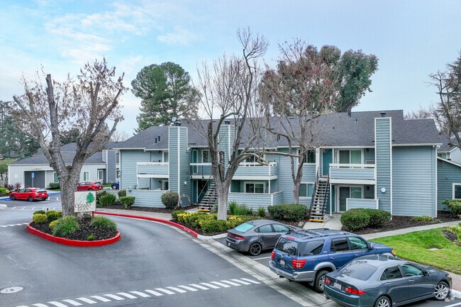
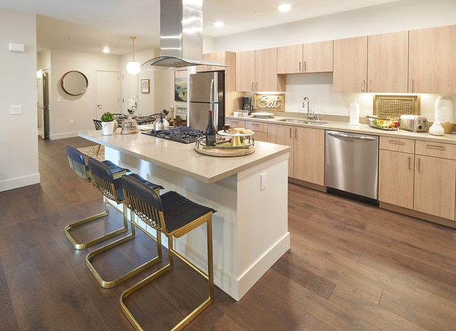
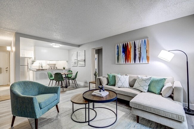
See why our residents love calling St. Mark Avenue home! We are happy to offer spacious two bedroom, one bathroom apartment homes. Our apartment homes feature a large living room, separate dining room, gas range, pre-wiring for cable/internet and ample closet space. Our pet friendly community is nestled in Newark in a prime location for easy commuting via the 880 & 84 Highways. You will find many shopping and restaurant options within walking distance of your new home and we are just moments away from Newpark Mall. Call us now to schedule a tour of your new home!
5366 St Mark is an apartment community located in Alameda County and the 94560 ZIP Code. This area is served by the Newark Unified School District attendance zone.
Tucked between the eastern shore of San Francisco Bay and the city of Fremont, Newark is a compact city in Alameda County that runs on its own rhythm while staying well-connected to the broader Bay Area. Spanning just 14 square miles, Newark is part of the Tri-City Area alongside Fremont and Union City, giving residents easy access to a wider range of jobs, services, and culture without sacrificing a quieter pace at home. The Don Edwards San Francisco Bay National Wildlife Refuge borders much of the city, wrapping thousands of acres of marshes and wetlands around Newark's western edge — a setting that feels genuinely rare for a city this close to Silicon Valley's orbit.
Newark's housing stock ranges from single-family homes to well-appointed apartment communities, with options spread across residential pockets that feel grounded and unhurried. Renters looking for more space than San Jose or Oakland typically offer will find Newark worth serious consideration.
Learn more about living in Newark| Colleges & Universities | Distance | ||
|---|---|---|---|
| Colleges & Universities | Distance | ||
| Drive: | 5 min | 2.5 mi | |
| Drive: | 14 min | 8.7 mi | |
| Drive: | 15 min | 10.6 mi | |
| Drive: | 16 min | 11.4 mi |


 The GreatSchools Rating helps parents compare schools within a state based on a variety of school quality indicators and provides a helpful picture of how effectively each school serves all of its students. Ratings are on a scale of 1 (below average) to 10 (above average) and can include test scores, college readiness, academic progress, advanced courses, equity, discipline and attendance data. We also advise parents to visit schools, consider other information on school performance and programs, and consider family needs as part of the school selection process.
Transportation options available in Newark include Fremont, located 4.5 miles from 5366 St Mark. 5366 St Mark is near Norman Y Mineta San Jose International, located 18.1 miles or 23 minutes away, and Metro Oakland International, located 19.3 miles or 25 minutes away.
| Transit / Subway | Distance | ||
|---|---|---|---|
| Transit / Subway | Distance | ||
|
|
Drive: | 9 min | 4.5 mi |
|
|
Drive: | 10 min | 4.9 mi |
|
|
Drive: | 11 min | 7.0 mi |
|
|
Drive: | 14 min | 9.3 mi |
| Drive: | 23 min | 17.4 mi |
| Commuter Rail | Distance | ||
|---|---|---|---|
| Commuter Rail | Distance | ||
| Drive: | 4 min | 2.1 mi | |
| Drive: | 4 min | 2.3 mi | |
| Drive: | 15 min | 11.2 mi | |
|
|
Drive: | 15 min | 11.2 mi |
| Drive: | 20 min | 15.7 mi |
| Airports | Distance | ||
|---|---|---|---|
| Airports | Distance | ||
|
Norman Y Mineta San Jose International
|
Drive: | 23 min | 18.1 mi |
|
Metro Oakland International
|
Drive: | 25 min | 19.3 mi |
Scores provided by
 What do Walkability, Transit, Drivability, and Bikeability mean?
Walkability measures the walking distance to day-to-day needs.
Transit measures access to public transportation.
Drivability measures congestion, parking availability, and access to major roads.
Bikeability measures the suitability for cycling.
How It Works
What do Walkability, Transit, Drivability, and Bikeability mean?
Walkability measures the walking distance to day-to-day needs.
Transit measures access to public transportation.
Drivability measures congestion, parking availability, and access to major roads.
Bikeability measures the suitability for cycling.
How It Works
Traffic
-Airport
-Businesses
-Scores provided by
HowLoud What is a Sound Score Rating? A Sound Score Rating aggregates noise caused by vehicle traffic, airplane traffic and local sources. How It WorksTime and distance from 5366 St Mark.
| Shopping Centers | Distance | ||
|---|---|---|---|
| Shopping Centers | Distance | ||
| Walk: | 5 min | 0.3 mi | |
| Walk: | 8 min | 0.5 mi | |
| Walk: | 10 min | 0.5 mi |
| Parks and Recreation | Distance | ||
|---|---|---|---|
| Parks and Recreation | Distance | ||
|
Quarry Lakes Regional Recreation Area
|
Drive: | 5 min | 3.0 mi |
|
Alameda Creek Regional Trail
|
Drive: | 6 min | 3.2 mi |
|
San Francisco Bay National Wildlife Refuge
|
Drive: | 8 min | 3.7 mi |
|
Ardenwood Historic Farm
|
Drive: | 9 min | 5.3 mi |
|
Niles Community Park
|
Drive: | 13 min | 6.4 mi |
| Hospitals | Distance | ||
|---|---|---|---|
| Hospitals | Distance | ||
| Drive: | 8 min | 4.3 mi | |
| Drive: | 8 min | 4.4 mi | |
| Drive: | 12 min | 8.4 mi |
| Military Bases | Distance | ||
|---|---|---|---|
| Military Bases | Distance | ||
| Drive: | 29 min | 20.9 mi | |
| Drive: | 37 min | 26.8 mi | |
| Drive: | 38 min | 27.0 mi |
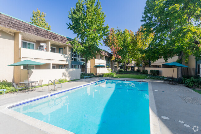
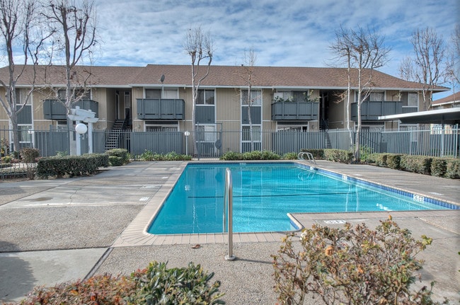
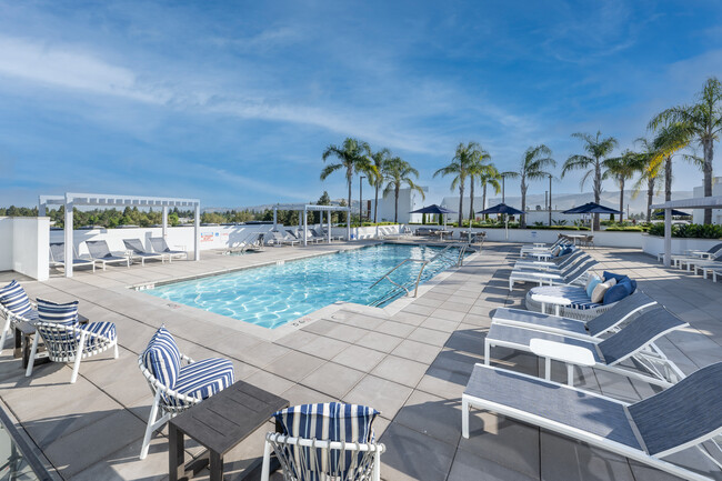
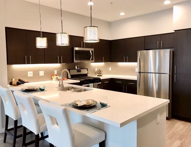
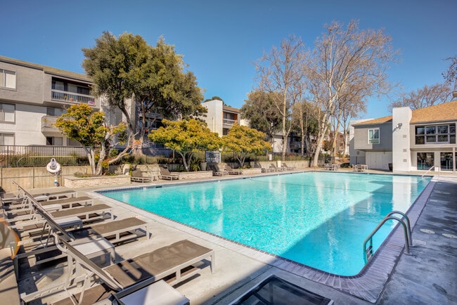
Fitness Center Pool In Unit Washer & Dryer High-Speed Internet Stainless Steel Appliances Package Service
What Are Walk Score®, Transit Score®, and Bike Score® Ratings?
Walk Score® measures the walkability of any address. Transit Score® measures access to public transit. Bike Score® measures the bikeability of any address.
What is a Sound Score Rating?
A Sound Score Rating aggregates noise caused by vehicle traffic, airplane traffic and local sources.
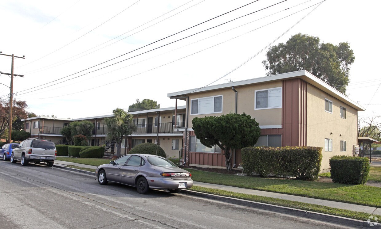
5366 St Mark Ave
Newark, CA 94560