$807
/ Month
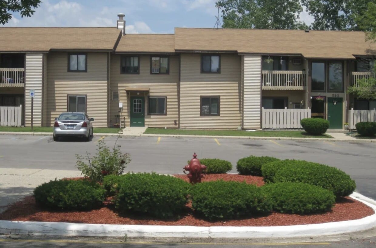
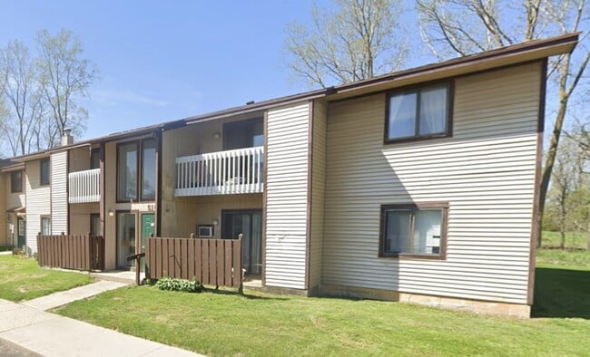
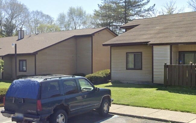
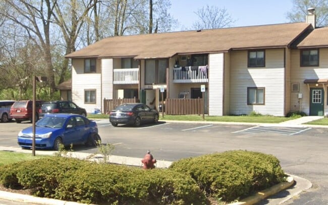
512 W High St
Ovid, MI 48866
Today
|
Edit
Favorites
626-281-8301
-
Bedrooms
1
-
Bathrooms
1
-
Square Feet
--
-
Available
Available Now
512 W High St

Favorites
About This Home
Available Now
MLS# 92598820
512 W High St is an apartment community located in Clinton County and the 48866 ZIP Code.
* Price shown is base rent. Excludes user-selected optional fees and variable or usage-based fees and required charges due at or prior to move-in or at move-out. Price, availability, fees, and any applicable rent special are subject to change without notice.
* Square footage definitions vary. Displayed square footage is approximate.
Home Details
Year Built
Built in 1983
Bedrooms and Bathrooms
1 Full Bathroom
1 Bedroom
Home Design
Apartment
Listing and Financial Details
Property Available on 2/3/26
12 Month Lease Term
Community Details
Overview
Pk Companies Association
Pet Policy
No Pets Allowed
Contact
- Listed by Rick Rivera | Rental Housing Deals
- Phone Number
- Contact
-
Source
 Houston Association of REALTORS®
Copyright © 2026 Houston Association of Realtors. All rights reserved. All information provided by the listing agent/broker is deemed reliable but is not guaranteed and should be independently verified.
Location
Get Directions
Education
| Colleges & Universities | Distance | ||
|---|---|---|---|
| Colleges & Universities | Distance | ||
| Drive: | 22 min | 12.1 mi | |
| Drive: | 38 min | 28.4 mi | |
| Drive: | 37 min | 28.9 mi | |
| Drive: | 42 min | 30.3 mi |
512 W High St is within 22 minutes or 12.1 miles from Baker College of Owosso. It is also near Michigan State University and Lansing C.C., East Campus.
Getting Around
 What do Walkability, Transit, Drivability, and Bikeability mean?
Walkability measures the walking distance to day-to-day needs.
Transit measures access to public transportation.
Drivability measures congestion, parking availability, and access to major roads.
Bikeability measures the suitability for cycling.
How It Works
What do Walkability, Transit, Drivability, and Bikeability mean?
Walkability measures the walking distance to day-to-day needs.
Transit measures access to public transportation.
Drivability measures congestion, parking availability, and access to major roads.
Bikeability measures the suitability for cycling.
How It Works
Somewhat Walkable
Walkability
20
/ 100
Exceptionally Drivable
Drivability
90
/ 100
Fairly Bikeable
Bikeability
40
/ 100
Scores provided by
-
Soundscore™
-
/ 100
Traffic
-Airport
-Businesses
-Scores provided by
HowLoud What is a Sound Score Rating? A Sound Score Rating aggregates noise caused by vehicle traffic, airplane traffic and local sources. How It WorksYou May Also Like
Similar Rentals Nearby
-
-
-
-
-
-
1 / 16
 1 Bed$1,2652 Beds$815Total Monthly Price11 Month LeaseTotal Monthly Price NewPrices include required monthly fees of $65.Base Rent:1 Bed$1,2002 Beds$750Specials
Pets Allowed Pool Balcony Maintenance on site Laundry Facilities Furnished
-
-
-
-


What Are Walk Score®, Transit Score®, and Bike Score® Ratings?
Walk Score® measures the walkability of any address. Transit Score® measures access to public transit. Bike Score® measures the bikeability of any address.
What is a Sound Score Rating?
A Sound Score Rating aggregates noise caused by vehicle traffic, airplane traffic and local sources.

512 W High St
Ovid, MI 48866