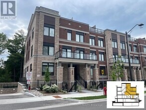
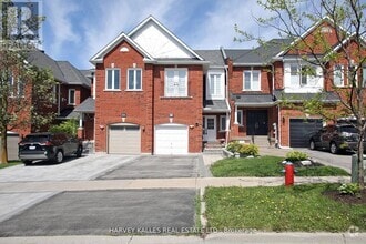
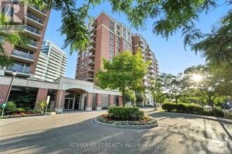
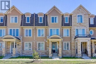
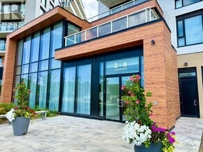
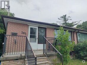
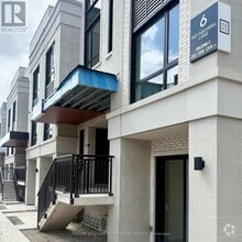
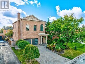
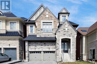
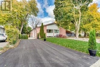
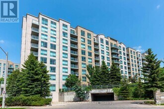
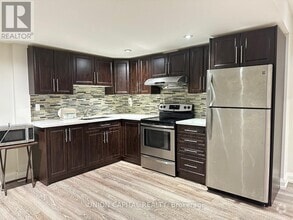
Apartments for Rent in Richmond Hill ON - 360 Rentals
-
-
-
-
-
-
-
-
-
-
-
-
-
-
-
-
-
-
-
-
-
-
-
-
-
-
-
-
-
-
-
-
-
-
-
-
-
-
-
-
-
Showing 40 of 352 Results - Page 1 of 9
Find the Perfect Richmond Hill, ON Apartment
Richmond Hill, ON Apartments for Rent
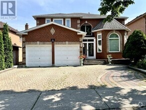
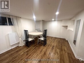
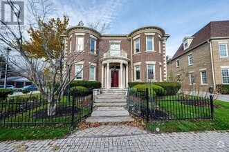
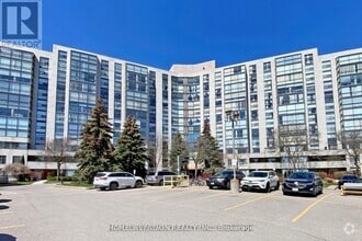
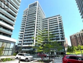
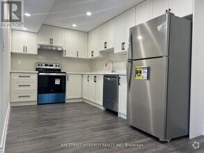
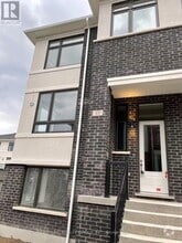
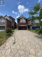
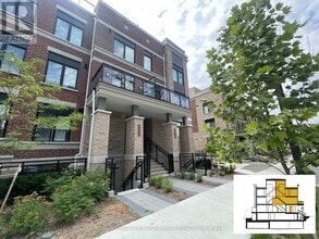
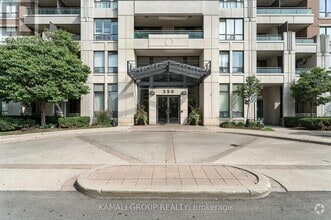
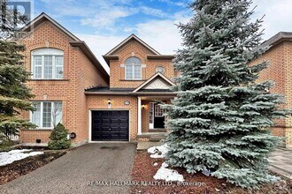
You searched for apartments in Richmond Hill, ON. Let Apartments.com help you find the perfect rental near you. Click to view any of these 360 available rental units in Richmond Hill to see photos, reviews, floor plans and verified information about schools, neighborhoods, unit availability and more. Apartments.com has the most extensive inventory of any apartment search site, with over one million currently available apartments for rent. You can trust Apartments.com to find your next Richmond Hill rental.
Search Nearby Rentals
Nearby Richmond Hill Rentals
Neighborhood Rentals
- Bayview Woods-Steeles/Hillcrest Vlg Apartments for Rent
- Richmond Hill/Vaughan/King Apartments for Rent
- Willowdale West/Newtonbrook West Apartments for Rent
- Willowdale East/Newtonbrook East Apartments for Rent
- Westminster-Branson Apartments for Rent
- Don Valley Village/Pleasant View Apartments for Rent
- Bayview Village Apartments for Rent
- Whitchurch/Stouffville Apartments for Rent
- Bathurst Manor Apartments for Rent
- L'Amoreaux/Steeles/Milliken Apartments for Rent
