
$2,200
Total Monthly Price
12 Month Lease
51 Burnap Rd Unit 3
Holliston, MA 01746
Favorites
-
Bedrooms
2
-
Bathrooms
1
-
Square Feet
783 sq ft
-
Available
Available Now
51 Burnap Rd Unit 3

Favorites
About This Home
12 Month Lease,
$2,200 deposit,
Available Now
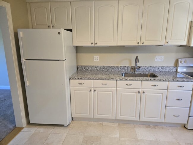
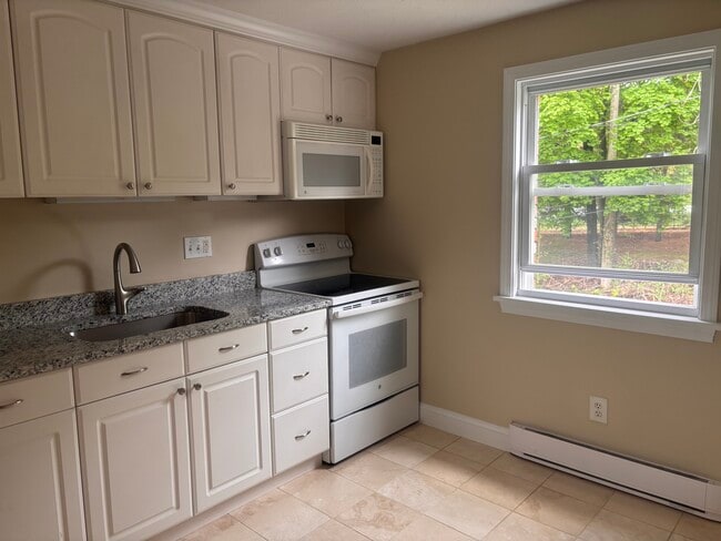
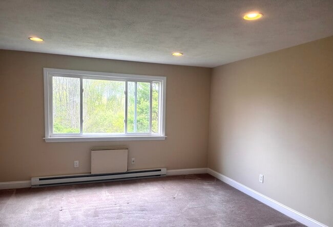
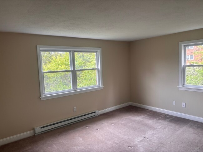
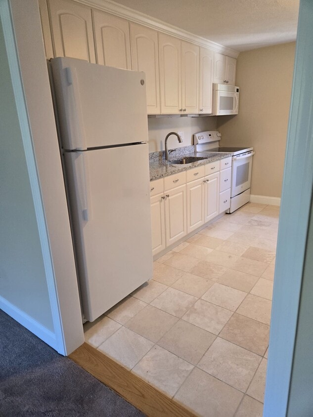
Updated, freshly painted and in perfect clean condition, second floor unit available for rent immediately. Located in a serene neighborhood. Steps to the golf course, Outpost Farm and High School. Very close access to hwy 85, I-90 and 495. Rare opportunity in the lovely town of Holliston. Open house this coming Saturday June 13 and Sunday June 14, 1-3pm.
51 Burnap Rd is a condo located in Middlesex County and the 01746 ZIP Code. This area is served by the Holliston School District attendance zone.
* Price shown is total price based on community-supplied monthly required fees. Excludes user-selected optional fees and variable or usage-based fees and required charges due at or prior to move-in or at move-out. Price, availability, fees, and any applicable rent special are subject to change without notice.
* Square footage definitions vary. Displayed square footage is approximate.
Condo Features
- Laundry Facilities
Fees and Policies
The fees listed below are community-provided and may exclude utilities or add-ons. All payments are made directly to the property and are non-refundable unless otherwise specified.
- Parking
-
Surface Lot--
Contact
- Contact
Location
Get Directions
495-South is a large area surrounding Interstate 495 about 20 miles south of Boston. This suburban town features peaceful neighborhoods nestled in forested areas paired with commercial developments. Renters have the choice of moderately priced to luxury apartments, condos, and single-family homes. An abundance of shopping and dining choices are scattered along the town’s major thoroughfares. Ponds, creeks, and large natural areas like Franklin State Forest and DelCarte Conservation Area provide relaxing outdoor activities. Residents have access to big-city amenities by driving a bit north into Boston, and the eclectic downtown districts of Worcester and Framingham are situated outside of the western and eastern corners of town.
Learn more about living in 495-South
Education
| Colleges & Universities | Distance | ||
|---|---|---|---|
| Colleges & Universities | Distance | ||
| Drive: | 19 min | 9.2 mi | |
| Drive: | 25 min | 11.8 mi | |
| Drive: | 27 min | 13.6 mi | |
| Drive: | 32 min | 15.1 mi |
51 Burnap Rd Unit 3 is within 19 minutes or 9.2 miles from Framingham State College. It is also near Wellesley College and Babson College.
Schools


Public Elementary School
Grades PK-5
579 Students
Attendance Zone
Public Elementary School
Grades K-5
655 Students
Attendance Zone
Public Middle School
Grades 6-8
610 Students
Attendance Zone
Public High School
Grades 9-12
807 Students
Attendance Zone
Private Elementary, Middle & High School
Grades K-12
90 Students
Nearby
Private Elementary School
Grades PK-5
126 Students
Nearby
Private High School
Grades 9-12
28 Students
Nearby
School data provided by
 The GreatSchools Rating helps parents compare schools within a state based on a variety of school quality indicators and provides a helpful picture of how effectively each school serves all of its students. Ratings are on a scale of 1 (below average) to 10 (above average) and can include test scores, college readiness, academic progress, advanced courses, equity, discipline and attendance data. We also advise parents to visit schools, consider other information on school performance and programs, and consider family needs as part of the school selection process.
View GreatSchools Rating Methodology
Data provided by GreatSchools.org © 2026. All rights reserved.
View GreatSchools Rating Methodology
Data provided by GreatSchools.org © 2026. All rights reserved.
Getting Around
 What do Walkability, Transit, Drivability, and Bikeability mean?
Walkability measures the walking distance to day-to-day needs.
Transit measures access to public transportation.
Drivability measures congestion, parking availability, and access to major roads.
Bikeability measures the suitability for cycling.
How It Works
What do Walkability, Transit, Drivability, and Bikeability mean?
Walkability measures the walking distance to day-to-day needs.
Transit measures access to public transportation.
Drivability measures congestion, parking availability, and access to major roads.
Bikeability measures the suitability for cycling.
How It Works
Somewhat Walkable
Walkability
20
/ 100
Minimal Public Transit
Transit
0
/ 100
Exceptionally Drivable
Drivability
90
/ 100
Moderately Bikeable
Bikeability
70
/ 100
Scores provided by
-
Soundscore™
-
/ 100
Traffic
-Airport
-Businesses
-Scores provided by
HowLoud What is a Sound Score Rating? A Sound Score Rating aggregates noise caused by vehicle traffic, airplane traffic and local sources. How It Works
Amenities
- Laundry Facilities
51 Burnap Rd Unit 3 Photos
What Are Walk Score®, Transit Score®, and Bike Score® Ratings?
Walk Score® measures the walkability of any address. Transit Score® measures access to public transit. Bike Score® measures the bikeability of any address.
What is a Sound Score Rating?
A Sound Score Rating aggregates noise caused by vehicle traffic, airplane traffic and local sources.
51 Burnap Rd
Holliston, MA 01746