
10 Halletts Point
10, 20, 30 Halletts Pt,
Astoria, NY 11102
$3,300 - $6,971
Studio - 2 Beds
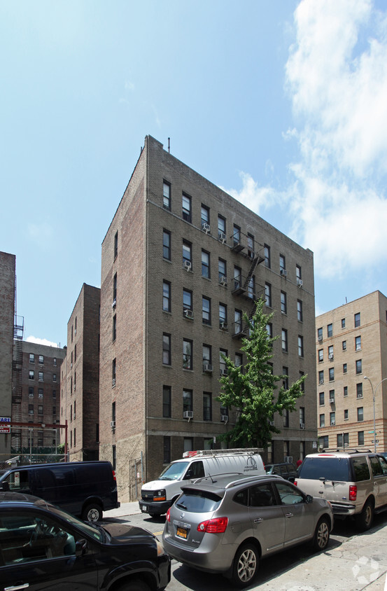
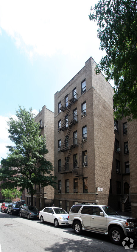

Experience New York living at 51 Bennett Ave. This community is located in the Hudson Heights area of New York. Let the leasing team show you everything this community has in store. Experience a new standard at 51 Bennett Ave.
51 Bennett Ave is an apartment community located in New York County and the 10033 ZIP Code. This area is served by the New York City Geographic District # 6 attendance zone.
There's a reason New York City has been the backdrop of countless films, novels, and lifelong ambitions; it simply does things at a scale and intensity that no other place in the country matches. Spread across five distinct boroughs — Manhattan, Brooklyn, Queens, the Bronx, and Staten Island — the city offers wildly different ways to experience daily life depending on where you plant your roots. Whether you're drawn to the electric pace of Midtown, the tree-lined streets of Park Slope, or the arts-forward energy of Astoria, each corner of the city carries its own character and cadence.
The rental landscape here is as varied as the city itself. Sleek high-rise apartment communities with floor-to-ceiling skyline views define much of Midtown and the Financial District, while pre-war lofts and historic brownstones dominate neighborhoods like SoHo, the West Village, and Park Slope.
Learn more about living in New YorkCompare neighborhood and city base rent averages by bedroom.
| Hudson Heights | New York, NY | |
|---|---|---|
| Studio | $1,879 | $3,311 |
| 1 Bedroom | $2,207 | $4,082 |
| 2 Bedrooms | $2,940 | $5,585 |
| 3 Bedrooms | $3,506 | $7,068 |
| Colleges & Universities | Distance | ||
|---|---|---|---|
| Colleges & Universities | Distance | ||
| Walk: | 7 min | 0.4 mi | |
| Drive: | 8 min | 2.5 mi | |
| Drive: | 7 min | 2.8 mi | |
| Drive: | 9 min | 3.4 mi |


Transportation options available in New York include 181 Street (A Line), located 0.2 mile from 51 Bennett Ave. 51 Bennett Ave is near LaGuardia, located 9.5 miles or 20 minutes away, and Newark Liberty International, located 20.4 miles or 24 minutes away.
| Transit / Subway | Distance | ||
|---|---|---|---|
| Transit / Subway | Distance | ||
|
|
Walk: | 4 min | 0.2 mi |
|
|
Walk: | 5 min | 0.3 mi |
|
|
Walk: | 10 min | 0.5 mi |
|
|
Walk: | 10 min | 0.5 mi |
|
|
Walk: | 10 min | 0.6 mi |
| Commuter Rail | Distance | ||
|---|---|---|---|
| Commuter Rail | Distance | ||
| Drive: | 6 min | 1.9 mi | |
|
|
Drive: | 6 min | 2.1 mi |
|
|
Drive: | 7 min | 2.4 mi |
|
|
Drive: | 6 min | 2.5 mi |
|
|
Drive: | 10 min | 4.3 mi |
| Airports | Distance | ||
|---|---|---|---|
| Airports | Distance | ||
|
LaGuardia
|
Drive: | 20 min | 9.5 mi |
|
Newark Liberty International
|
Drive: | 24 min | 20.4 mi |
Scores provided by
Traffic
-Airport
-Businesses
-Scores provided by
HowLoud What is a Sound Score Rating? A Sound Score Rating aggregates noise caused by vehicle traffic, airplane traffic and local sources. How It WorksTime and distance from 51 Bennett Ave.
| Shopping Centers | Distance | ||
|---|---|---|---|
| Shopping Centers | Distance | ||
| Drive: | 6 min | 2.3 mi | |
| Drive: | 5 min | 2.4 mi | |
| Drive: | 6 min | 2.7 mi |
| Parks and Recreation | Distance | ||
|---|---|---|---|
| Parks and Recreation | Distance | ||
|
J Hood Wright Park
|
Walk: | 12 min | 0.6 mi |
|
Fort Tryon Park
|
Walk: | 16 min | 0.8 mi |
|
Highbridge Park
|
Drive: | 5 min | 2.8 mi |
|
Fort Washington Park
|
Drive: | 6 min | 3.1 mi |
|
Sherman Creek and Swindler Cove
|
Drive: | 8 min | 3.5 mi |
| Hospitals | Distance | ||
|---|---|---|---|
| Hospitals | Distance | ||
| Walk: | 16 min | 0.9 mi | |
| Drive: | 8 min | 3.3 mi | |
| Drive: | 8 min | 3.4 mi |
| Military Bases | Distance | ||
|---|---|---|---|
| Military Bases | Distance | ||
| Drive: | 21 min | 11.3 mi | |
| Drive: | 27 min | 12.5 mi |
What Are Walk Score®, Transit Score®, and Bike Score® Ratings?
Walk Score® measures the walkability of any address. Transit Score® measures access to public transit. Bike Score® measures the bikeability of any address.
What is a Sound Score Rating?
A Sound Score Rating aggregates noise caused by vehicle traffic, airplane traffic and local sources.


