

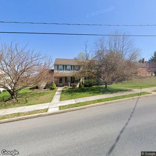
497 S 9th St
497 S 9th St
Akron, PA 17501
2 Weeks Ago
Favorites
497 S 9th St

Favorites
Check Back Soon for Upcoming Availability
| Beds | Baths | Average SF |
|---|---|---|
| 3 Bedrooms 3 Bedrooms 3 Br | 1.5 Baths 1.5 Baths 1.5 Ba | — |
Location
Get Directions
Akron is a town of just 4,000 in a space barely bigger than one square mile. Set between Lancaster and Reading along State Route 272, this close-knit community provides residents with charming community parks and a characterful Main Street district. Weirser’s Market, a locally run grocery store, is known for its donuts and service. There are plenty of apartment communities to choose from in Akron, and a great number of single-family rentals as well.
Many residents head down into Lancaster for a greater selection of restaurants and amenities, and Reading is just a 30-minute drive northeast. However, you may find it hard to leave the charming environment of Akron.
Learn more about living in Akron
Education
| Colleges & Universities | Distance | ||
|---|---|---|---|
| Colleges & Universities | Distance | ||
| Drive: | 16 min | 10.3 mi | |
| Drive: | 24 min | 14.9 mi | |
| Drive: | 33 min | 23.1 mi | |
| Drive: | 36 min | 24.8 mi |
497 S 9th St is within 16 minutes or 10.3 miles from Franklin and Marshall College. It is also near Millersville University and Alvernia University.
You May Also Like
Similar Rentals Nearby


What Are Walk Score®, Transit Score®, and Bike Score® Ratings?
Walk Score® measures the walkability of any address. Transit Score® measures access to public transit. Bike Score® measures the bikeability of any address.
What is a Sound Score Rating?
A Sound Score Rating aggregates noise caused by vehicle traffic, airplane traffic and local sources
497 S 9th St
Akron, PA 17501