
$1,250 / Month
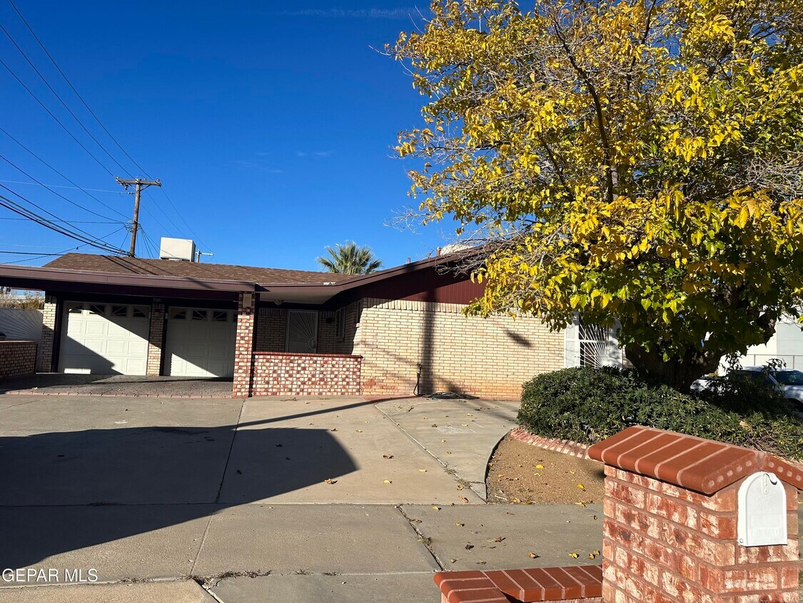
4825 Rolling Stone Ave
El Paso, TX 79924
2 Weeks Ago
Favorites
4825 Rolling Stone Ave

Favorites
Check Back Soon for Upcoming Availability
| Beds | Baths | Average SF |
|---|---|---|
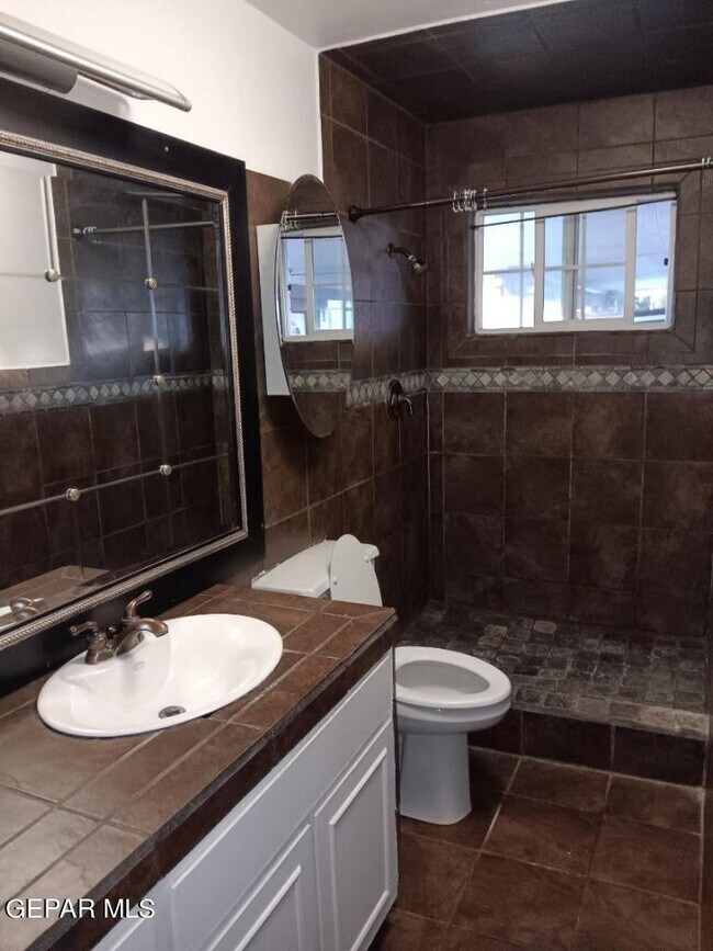
| 4 Bedrooms 4 Bedrooms 4 Br | 2 Baths 2 Baths 2 Ba | 1,342 SF |
4825 Rolling Stone Ave is a house located in El Paso County and the 79924 ZIP Code. This area is served by the El Paso Independent attendance zone.
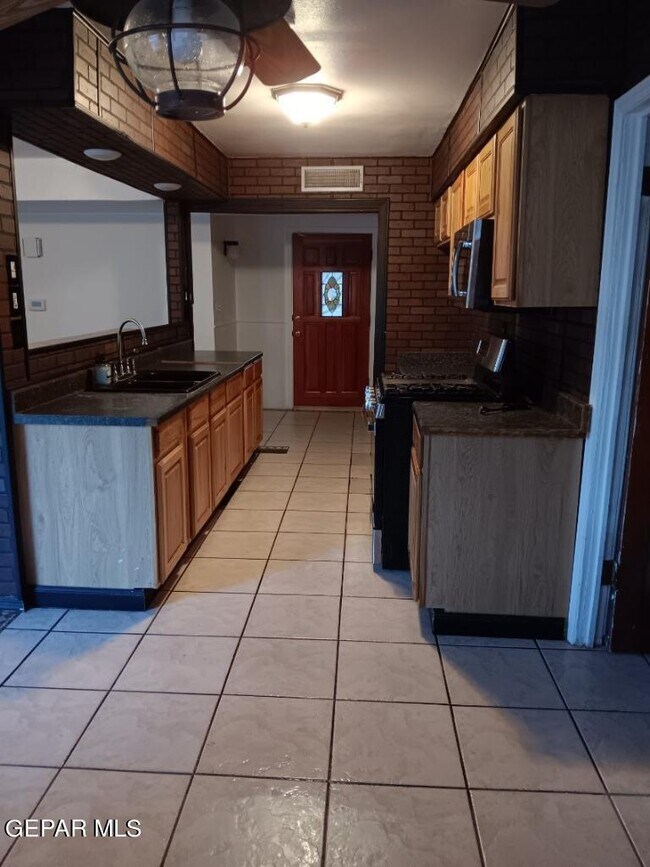
House Features
Dishwasher
Microwave
Disposal
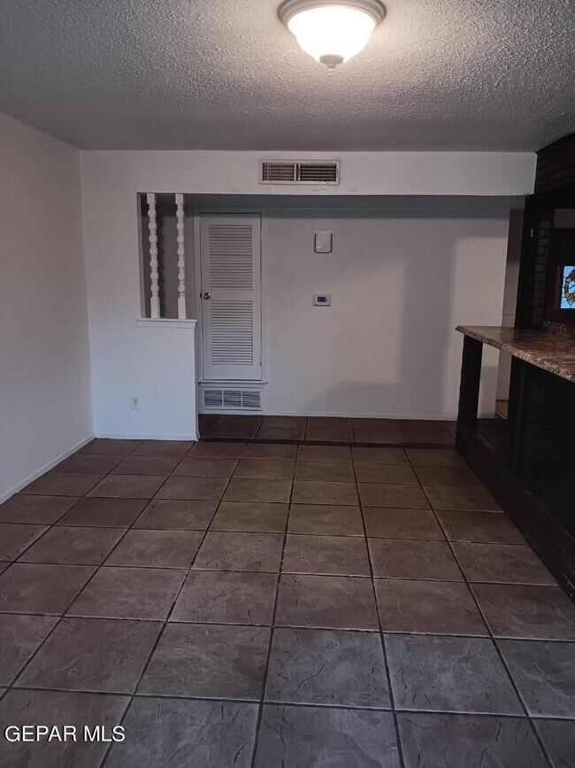
Tile Floors
- Dishwasher
- Disposal
- Microwave
- Carpet
- Tile Floors
Location
Get Directions
Situated in west Texas along the Rio Grande, just north of the United States-Mexico border, El Paso embraces the past while building the future. Chamizal National Memorial, a museum and park, honors the peaceful settlement of the Chamizal boundary dispute while the University of Texas at El Paso fosters tomorrow’s leaders.
El Paso is known as the Sun City, boasting over 300 days of sunshine every year. There are plenty of venues to enjoy the frequent sunshine, including the El Paso Zoo, Franklin Mountains State Park, and nearby Wet n Wild Waterworld. The Rio Grande is a popular spot for whitewater rafting, canoeing, and fishing as well.
Should you want to head indoors, you have the option to catch a performance at the Plaza Theatre, indulge in authentic Mexican cuisine, admire the works in the El Paso Museum of Art, and tour the El Paso Museum of History in addition to the El Paso Holocaust Museum and Study Center.
Learn more about living in El PasoBelow are rent ranges for similar nearby apartments
Amenities
- Dishwasher
- Disposal
- Microwave
- Carpet
- Tile Floors
Education
| Colleges & Universities | Distance | ||
|---|---|---|---|
| Colleges & Universities | Distance | ||
| Drive: | 5 min | 1.9 mi | |
| Drive: | 20 min | 12.6 mi | |
| Drive: | 21 min | 12.6 mi | |
| Drive: | 22 min | 13.6 mi |
4825 Rolling Stone Ave is within 5 minutes or 1.9 miles from El Paso C.C., Transmountain. It is also near El Paso C.C., Rio Grande and UT El Paso.
Schools

Public Elementary School
Grades PK-5
354 Students
Nearby
Public Middle School
Grades 6-8
418 Students
Nearby
Public High School
Grades 9-12
1,530 Students
Attendance Zone
Private Elementary, Middle & High School
Grades PK-12
77 Students
Nearby
Private Elementary & Middle School
Grades PK-8
141 Students
Nearby
School data provided by
 The GreatSchools Rating helps parents compare schools within a state based on a variety of school quality indicators and provides a helpful picture of how effectively each school serves all of its students. Ratings are on a scale of 1 (below average) to 10 (above average) and can include test scores, college readiness, academic progress, advanced courses, equity, discipline and attendance data. We also advise parents to visit schools, consider other information on school performance and programs, and consider family needs as part of the school selection process.
View GreatSchools Rating Methodology
Data provided by GreatSchools.org © 2025. All rights reserved.
View GreatSchools Rating Methodology
Data provided by GreatSchools.org © 2025. All rights reserved.
You May Also Like
Similar Rentals Nearby


What Are Walk Score®, Transit Score®, and Bike Score® Ratings?
Walk Score® measures the walkability of any address. Transit Score® measures access to public transit. Bike Score® measures the bikeability of any address.
What is a Sound Score Rating?
A Sound Score Rating aggregates noise caused by vehicle traffic, airplane traffic and local sources

4825 Rolling Stone Ave
El Paso, TX 79924